


You are here
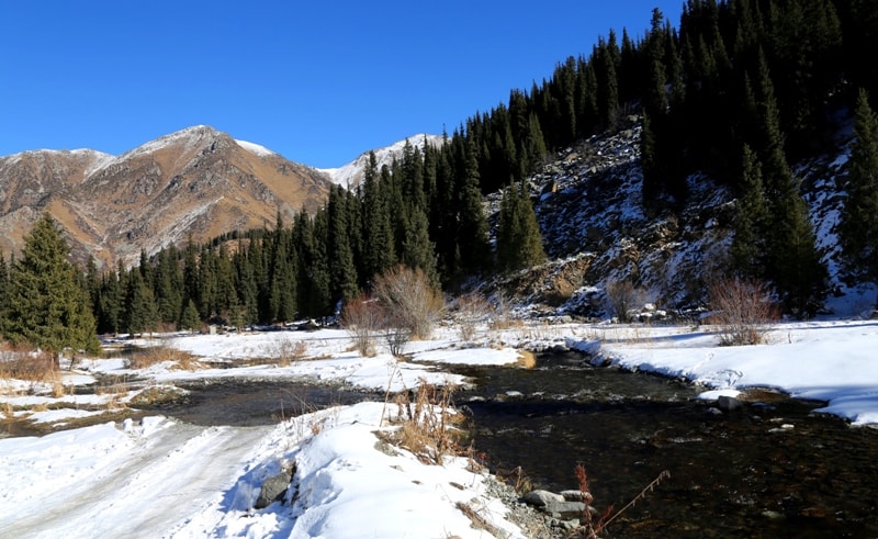
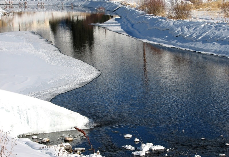
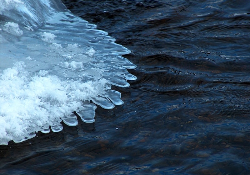
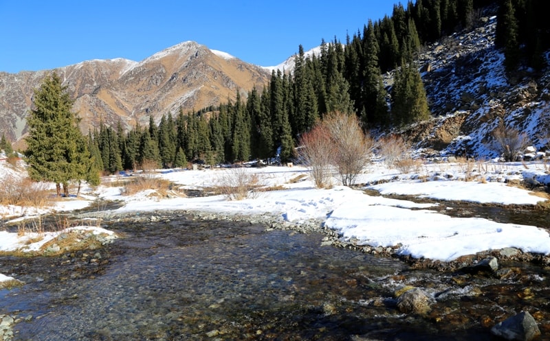
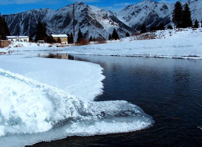
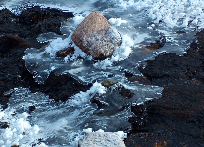
Big Almaty river.

Rest on river Big Almaty in vicinity of Almaty.
«Every creature lives in a state of war by nature»
Jonathan Swift.
Walk along river Big Almaty.
The Bolshaya Almatinka River, is the right tributary of the Kaskelen River, located between the Prokhodnaya rivers in the west and Malaya Almatinka in the east, on the northern slope of the Zailiyskiy Alatau ridge, on the territory of the Ile-Alatau park in Bostandyk and Karasai districts of Almaty region.
The length of the river from the confluence at an altitude of 2610 meters above sea level of the Ozernaya River and other numerous tributaries, 1.6 kilometers before Lake Bolshoy Almaty from the south, and to the mouth on the Kaskelen River is 75 kilometers.
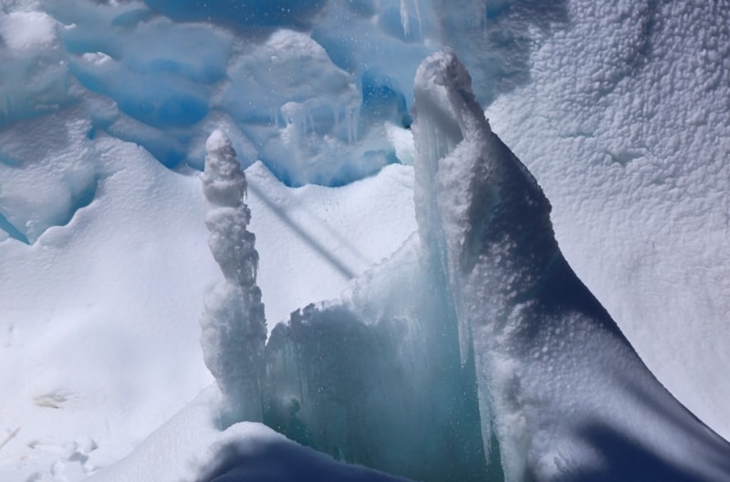
The main channel of the river is formed at an altitude of 2610 meters above sea level by the confluence of six rivers. The river is fed mainly by glaciers, partly by spring and precipitation.
Ozernaya river.
The main tributary is the Ozernaya River, with a length of 10.6 kilometers. The beginning of the Ozernaya River is formed from two main tributaries. The western tributary originates from the northern part, an extended moraine of the Black Glacier at an altitude of 3637 meters above sea level.
The southern tributary originates from the northern part of the Ozerny pass from an altitude of 3503.3 meters above sea level. For 2 kilometers from the sources, the South River receives three tributaries on the right, originating from the glaciers located to the east of the Ozerny pass and one of the tributaries from the Black glacier.
Kyzyl Say River.
4.3 kilometers after the source, the Kyzyl Sai tributary with a length of 5.4 kilometers flows into Ozernaya on the right. The sources of the Kyzyl Sai River begin from the western glacier flowing down from the summit ridge of the peak of the Soviet climbers 4317.8 meters above sea level.
The mouth of the Kyzyl Say is located at an altitude of 3101 meters above sea level. One of the southern tributaries of the Kyzyl Sai River originates from a moraine lake located at an altitude of 3593 meters above sea level located on a moraine below the eastern glacier flowing from the crest of the Young Guard peak at a height of 4398.3 meters above sea level.
The lake has a length of 254 meters from east to west, a width in the eastern part of 77 meters, in the middle of the lake there is a small isthmus. In the upper reaches of the Kyzyl Sai River at an altitude of 3371 meters above sea level, the Turist tributary flows down from the Tourist Pass at an altitude of 4039 meters above sea level on the right.
Geographic coordinates of the Turist River: N43 ° 01'13.22 "E77 ° 03'28.33"
Geographic coordinates of the Kyzyl Say River: N43 ° 00'22.69 "E77 ° 02'49.93"
350 meters after Kyzyl Say, on the right, an unnamed stream adjoins Ozernaya, 1.3 kilometers long, flowing down from the southern slope of the Sovetov peak, 4317 meters above sea level.
Geographic coordinates of the unnamed stream: N43 ° 00'53.88 "E77 ° 00'59.00"
After 1.2 kilometers on the right, an unnamed stream 2 kilometers long flows into Ozernaya at an altitude of 3008 meters above sea level, which originates on the western slope of the Soviets peak.
Geographic coordinates of the unnamed stream: N43 ° 01'48.78 "E77 ° 00'37.99"
After the tributary of this unnamed stream, the river begins to bear the name Bolshaya Almatinka (according to the topographic map 1: 100000).
3.7 kilometers after the unnamed stream, a 2.8-kilometer stream flows into Ozernaya, which originates from the western ridge of the Soviets peak at an altitude of 3488 meters above sea level. The mouth of the stream is located at an altitude of 2513 meters above sea level.
Geographic coordinates of the nameless Stream: N43 ° 02'10.98 "E77 ° 00'19.98"
Geographic coordinates of the Ozernaya River: N43 ° 00'17.69 "E77 ° 00'54.14"
At an altitude of 2511.2 meters above sea level, the Bolshaya Almatinka River flows from the south with a wide delta up to 450 meters into Lake Bolshoye Almatinskoye. The river flows out of the lake with two underground streams, 450 and 490 meters long, overcomes natural and artificial dams and flows in one channel at an altitude of 2375 meters above sea level.
Right tributaries of the Bolshaya Almatinka River.
Kumbelsu river.
2.3 kilometers after the lake on the right, the Kumbelsu river flows into Bolshaya Almatinka with a length of 8.7 kilometers. The Kumbelsu River has a complex hydrological scheme. The main channel of the river is formed from several tributaries in a large circus formed by the glaciers of the Soviets and Lokomotiv peaks.
The eastern channel originates from a glacier flowing down from the northern slopes of Lokomotiv peak 4209.4 meters above sea level, the western tributary from a moraine lake located on the northern side of the Sovetov glacier at an altitude of 3552 meters above sea level.
The lake is 338 meters long from southwest to northeast and 150 meters wide in the northern part. The perimeter of the lake is 1008 meters, the area is 0.05 square kilometers. From the northern side, the Sovetov glacier descends into the lake.
On the western side, a stream flows out of the lake, breaking through 415 meters, a small moraine lake rushes down. Approximately, after 5 kilometers from the source, Kumbelsu receives right tributaries flowing down from the western glacier of Molodezhny peak, 4103 meters above sea level, and from the western watershed ridge between the Kumbelsu River and the Malaya Almatinka River.
Streams flow into the same tributary from the western slope of Titov Peak 3850 meters above sea level. A little to the north, there appear tributaries flowing down from the western slope of Mount Kumbel 3618.8 meters above sea level.
The next two spring tributaries flow down from the western slope of the Kumbel Tau ridge from the western side of Tereshkova Peak 3400 meters above sea level. The mouth of the Kumbelsu River is located at an altitude of 2030 meters above sea level.
Geographic coordinates of the Kumbelsu River: N43 ° 04'36.71 "E77 ° 00'22.86"
Shukur stream.
300 meters before the mouth, the Shukur stream, 3.5 kilometers long, flows into Kumbelsa on the left. The source of the stream begins in the southwestern part of the watershed ridge with the Kumbelsu River at an altitude of 3010 meters above sea level, also from the northern slope of Skalisty peak, 3332 meters above sea level.
To the north-east of the Alpine Rose Hotel and in the northern part of Lunnaya Polyana, at an altitude of 2387 meters, a stream for 300 meters goes into underground labyrinths of streams and appears on the surface when the clearing narrows.
Geographic coordinates of the Shukur stream: N43 ° 04'07.52 "E76 ° 59'57.06"
Kazashka river.
9 kilometers after the Shukur stream or 12.2 kilometers after the beginning of the river, the Kazashka River flows into Bolshaya Almatinka with a length of 14.4 kilometers. The spring sources of the Kazashka River begin at an altitude of 3350 meters above sea level from the northwestern side of Mount Kumbel.
In the upper part, the river flows into the Kokzhailyau tract. At an altitude of 2,444.2 meters above sea level, the river forms its main channel at the expense of springs.
Geographic coordinates of the Kazashka River: N43 ° 07'44.13 "E76 ° 57'41.90"
Stream Terisbutak.
After 8.4 kilometers, the Kazashka takes on the right tributary Terisbutak with a length of 3.7 kilometers. The source of the stream begins at an altitude of 2459 meters above sea level in the northwestern part of the Kumbel Tau ridge. The stream has almost no additional tributaries along its entire length.
Geographic coordinates of the Terisbutak stream: N43 ° 08'00.14 "E76 ° 58'54.34"
HPP 1 is located on the Bolshaya Almatinka River, 3.1 kilometers after its beginning, at an altitude of 1938 meters above sea level.
Left tributaries of the Bolshaya Almatinka River.
Serkebulak stream.
The Serkebulak stream with a length of 3.8 kilometers flows into the northwestern part of the Big Almaty Lake. The stream originates from the northern slopes of the Almatynin Alagir ridge and from the eastern slope of the Turist mountain 3954, 2 meters above sea level.
Geographic coordinates of the Serkebulak stream: N43 ° 02'59.80 "E76 ° 57'58.44"
Ayusai River (translated from Kazakh "Bear Log").
Through 7, 2 kilometers from the beginning of the Bolshaya Almatinka river, the Ayusai tributary flows into the left. The sources of the river are located on the northeastern slope of Bolshoy Almatinsky peak at an altitude of 3422 meters above sea level. At an altitude of 2,169.7 meters above sea level, a 1.4 km long tributary adjoins the river on the left.
Approximately in the middle part of the river channel at an altitude of 2079 meters above sea level, there is one of the Ayusai waterfalls with a water drop of up to 6 meters.
Geographic coordinates of the waterfall on the Ayusai River: N43 ° 05'12.63 "E76 ° 56'42.61"
The Ayusai estuary is located at an altitude of 1605 meters above sea level at the construction site of a new dam in the Bolshaya Almatinka gorge.
900 meters before the mouth of the Ayusai at an altitude of 1782 meters above sea level, there is also a small waterfall with a water drop of up to 5 meters.
Geographic coordinates of the waterfall on the Ayusai River, 900 meters from the mouth: N43 ° 05'46.33 "E76 ° 56'38.35"
There are 5 waterfalls on the river.
Geographic coordinates of the Ayusai River: N43 ° 04'23.09 "E76 ° 56'53.73"
Prohodnaya River.
3 kilometers after the mouth of the Ayusai and 10.2 kilometers after the beginning of the Bolshaya Almatinka River, the Prokhodnaya River flows into the river on the left, with a length of 18.4 kilometers. The sources of the river in Prokhonaya gorge begin from the northern side of the Almaty pass, at an altitude of 3599.1 meters above sea level, the mouth of the river is at an altitude of 1422 meters above sea level.
The catchment area is 83.3 square kilometers. Average long-term discharge at the mouth is 1.69 cubic meters per second. The width of the river at the mouth is 5.0 - 6.5 meters, the depth is 0.20 - 0.80 meters.
Geographic coordinates of the Prohodnaya River: N43 ° 04'26.20 "E76 ° 54'21.71"
An unnamed tributary in the vicinity of the "Sunkar" bird nursery.
After 2 kilometers on the left, a small stream, 3.1 kilometers long, flows into the river, originating from the northeastern side of the Kaskabas mountain, 2305 meters above sea level. In the stream bed at an altitude of 1418 meters above sea level, there is a large landslide a little more than 1 kilometer long from southwest to northeast. This gorge and the landslide itself are called "Stone Flower" by tourists.
Geographic coordinates of the unnamed tributary: N43 ° 07'17.14 "E76 ° 53'48.54"
The following natural and administrative objects are located on the Bolshaya Almatinka River from its beginning:
- at 13 kilometers, at an altitude of 1280 meters above sea level, there is a storage pit and a dam,
- at 19.8 km, Al-Farabi street,
- Lake Sairan at 25.8 km.
Numerous meanders appear on the river in front of the village of Boroldai, and the current becomes slow.
At 40.4 km, the village of Boroldai,
- at 44 km Pervomaiskie ponds.
- at 75 kilometers the river at an altitude of 564 meters above sea level flows into the Kaskelen River on the right.
A cascade of 7 hydroelectric power plants has been built on the river.
Geographic coordinates of the Bolshaya Almatinka River: N43 ° 05'34.00 "E76 ° 57'31.54"
Authority and photos by
Alexander Petrov.