


You are here
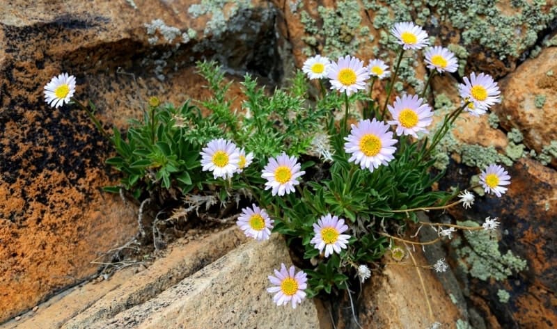
Flora ridge of Kopetdag.

Birding Tours in Turkemenistan.
“Snow is both sides of the same page It covers the grave and the tulip”
Richard L. Ratliff.
Bird Watching Tours in Turkmenistan.
Kopetdag ridge (Turkic "multi-mountain", Turkm. Köpetdag) is located in the eastern part of the Balkan velayat, in the southern and southwestern parts of the Akhal velayat. The highest peak in the Turkmen part of the Kopetdag is Mount Chapan with a height of 2889, 2 meters above sea level, located in the main ridge of the Kopetdag on the border with Iran.
The northern slopes of the mountain are located on the territory of Turkmenistan, the southern slopes are on the territory of Iran. The second highest mountain of the Kopetdag ridge is Mount Shah-Shah with a height of 2863.7 meters above sea level, located 2.9 kilometers east of Mount Chapan in the main ridge of the Kopetdag.
The third highest mountain is Mount Bozy-Yamo with a height of 2690.7 meters above sea level, located 14.4 kilometers southeast of Mount Chapan, located in the Saandak border range on the border with Iran. The highest mountain of the Kopetdag ridge - Riza is located on the territory of Iran with a height of 2942.1 meters above sea level in the southeast of Mount Chapan.
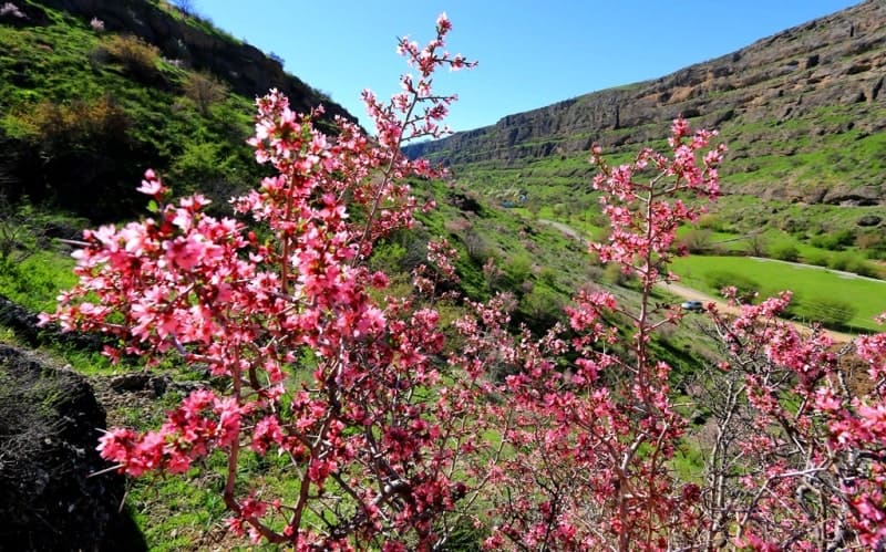
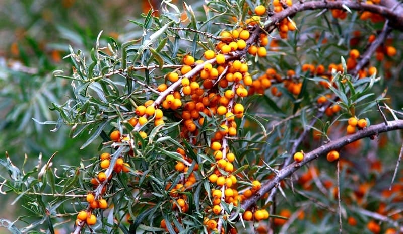
Wheatgrass communities (from Agropyron trichophorum) dominate in subtropical mountain steppes and soils, and on gravelly soils (from Andropogon ischaemum). In this zone, mainly on the slopes of deep gorges, deciduous trees are growing - Turkmen maple (Acer turcomanicum), (Celtis caucasica) and shrubs (almond, honeysuckle, dogrose).
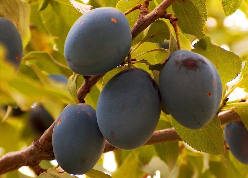
Along with them grows Turkmen (Juniperus turcomanica). Pistachios are also found in the forest valleys, and walnut forests (Juglans regia) are found in the Western Kopetdag. On the bottoms of the gorges of the southwestern Kopetdag along the streams and at the springs develop dense shrubs with wild grapes and fruit trees - fig (Ficus carica), (Mespilus germanica), Turkmen apple (Malus turcomanica), pear (Pyrus boissieriana).
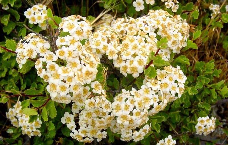
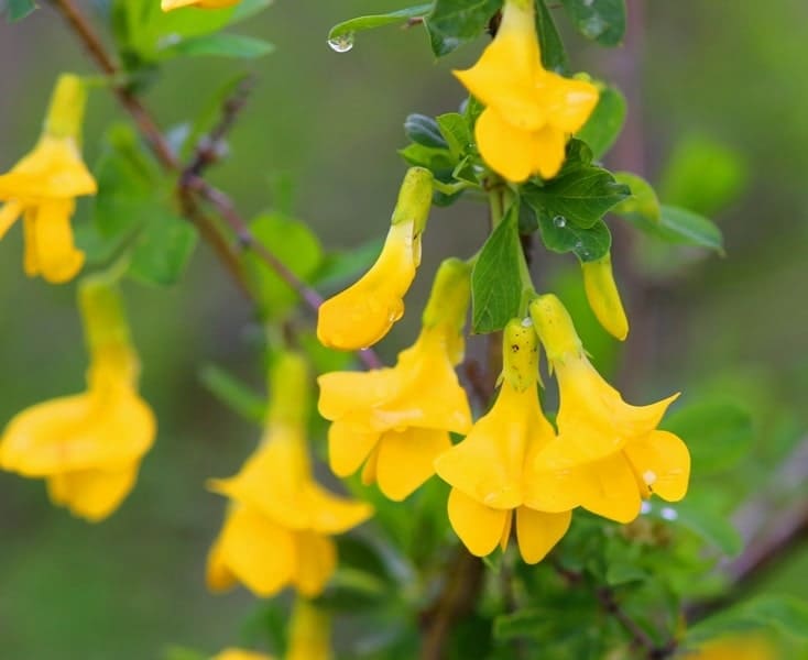
In the gorges of the southwestern Kopetdag there are also platan (Platanus orientalis) (Punica granatum), yellow jasmine (Jasminum fruticans), (Paliurus spina-christi). Many of these plants are characteristic of the Iran-Mediterranean region and the Caucasus.
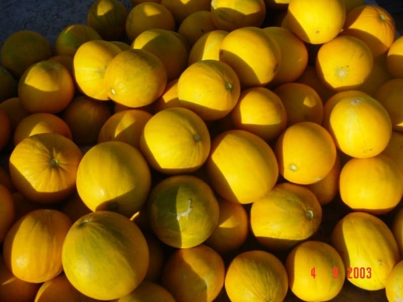
The main natural resources of Kopetdag are summer (in the upper parts of the mountains) and spring (in the lower zones) pastures. The fruits of wild fruit trees and shrubs growing in the gorges of the southwestern Kopetdag are used by the local population.
The main agricultural oases of Turkmenistan are located on the piedmont plains and in the longitudinal valleys. Oases of the foothill plains now receive water from the Karakum Canal. Protected from the northern winds by ridges and hills, the valleys of the south-western Kopetdag are areas of subtropical agriculture.
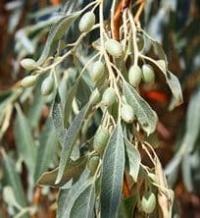
Its expansion will be facilitated by the left branch of the Karakum Canal. The cultivation of olives is considered promising; dates, pomegranates, lemons will also be cultivated.
Geographic coordinates of Kopetdag ridge: N38°48'11.69" E56°23'19.14"
Geographic coordinates of Mount Chapan: N37°48'19.16" E58°02'39.09"
Geographic coordinates of Mount Shah Shah: N37°48'24.77" E58°04'37.44"
Geographical coordinates of Mount Bozyk-Yamo: N37°46'34.85" E58°12'14.15"
Authority:
N. A. Gvozdetsky, N. I. Mikhaylov. "Physical geography of the USSR. Asian part. The edition third corrected and added. Moscow "Thought" of 1978. http://tapemark.narod.ru/geograf/1_5_5.html
Photos by
Alexander Petrov.