


You are here
Tekes river.

Trip from Almaty to valley of river Tekes.
«Nature does nothing without purpose or uselessly»
Aristotle.
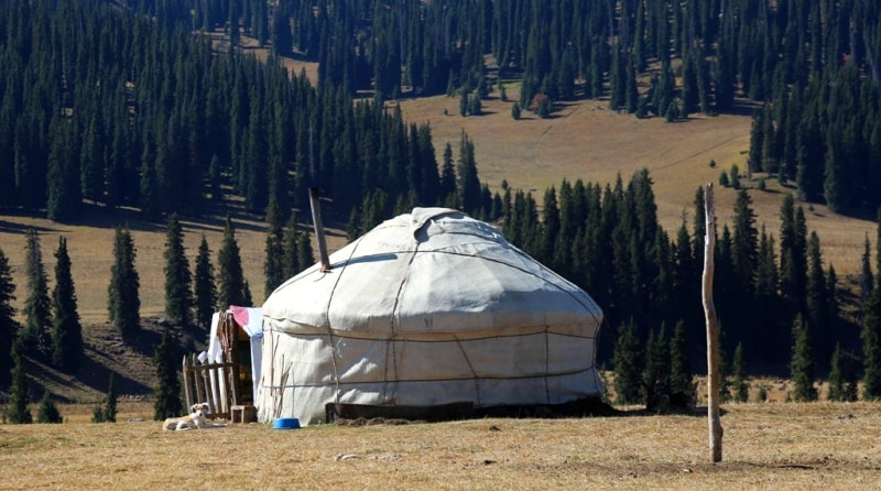
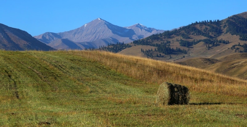
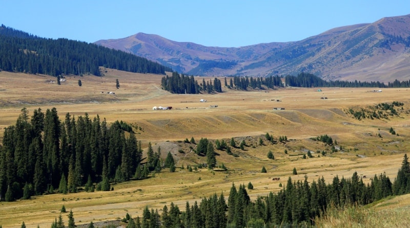
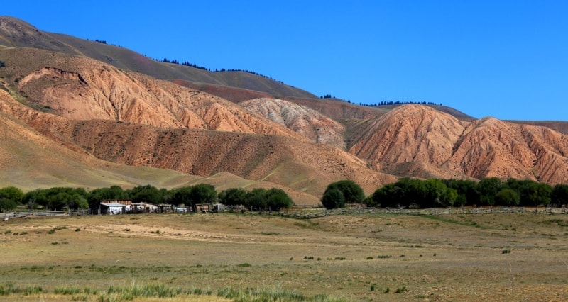
Trip and rest on river Tekes.
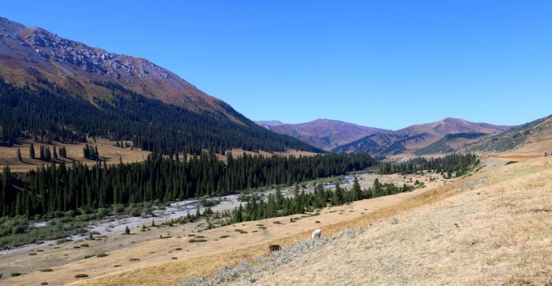
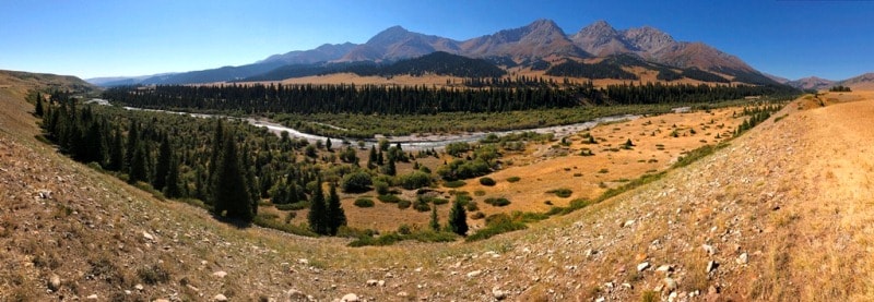
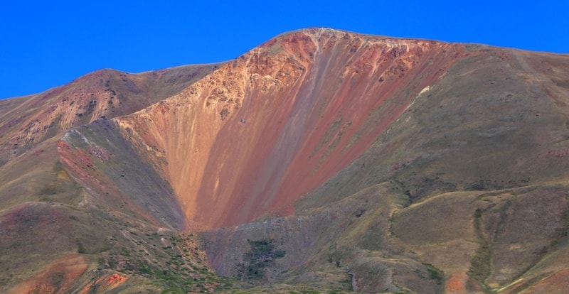
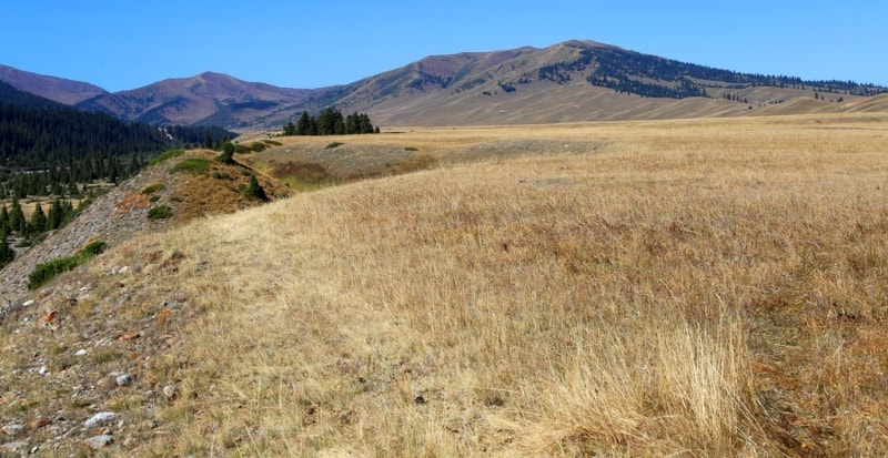
The Tekes River is located on the northern slope of the Terskey Alatau ridge, belongs to the Ili river basin, flows through the Kegen and Narynskol districts in the east of the Almaty region. The river is 148 kilometers long.
The main source of the river begins at the eastern end of the Terskey Alatau ridge from under the Tuz pass at an altitude of 3656 meters above sea level, another right source of the river begins from under an unnamed pass at an altitude of 3626 meters above sea level and the third left source starts from under the Kindyktobe pass at an altitude of 3627 meters above sea level.
At an altitude of 1727 meters above sea level, the river near the mouth of the Bayankol River becomes borderline, its right bank is located on the territory of the Republic of China. The difference in height from the source to the mouth of the Bayankol River is 1929 meters.
The total length of the river through the territories of the Republic of Kazakhstan and the Republic of China is 438 kilometers, the remaining 290 kilometers of Tekes flows in the Xinjiang Uygur Autonomous Region.
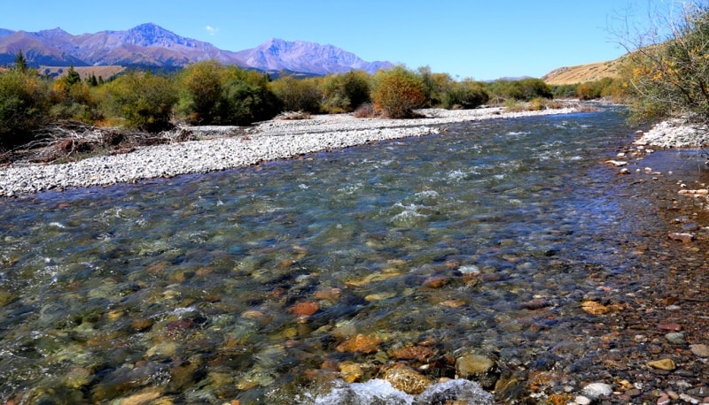
Tekes receives about 50 right tributaries, large and small, in the upper reaches of the river these are mainly small unnamed rivers. At 36 kilometers from the source, the Tekes River gorge begins to expand and takes the shape of a valley, from here on the right side the river receives tributaries (from top to bottom): Tastybulak with a length of 4.5 kilometers, Karagaylybulak with a length of 7 kilometers, Shuburtal with a length of 12 kilometers, Kurkuldyksay with a length of 8 kilometers, Munashbulak , Karasai with a length of 14 kilometers, Karabatyr with a length of 12 kilometers, Alchinsay, Orta-Kokpak, Ulken-Kokpak, Bayankol.
On the left side, Tekes receives 15 tributaries, the largest of them are rivers: at 30 km after the sources, the Levy Tekes river with a length of 17 kilometers flows into the Tekes River on the left, this is the longest tributary of the Tekes River and further - Shokpartas with a length of 7 kilometers.
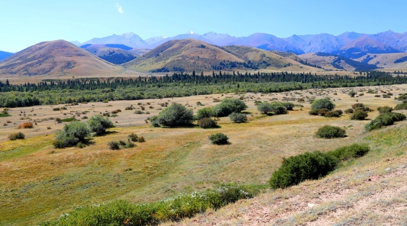
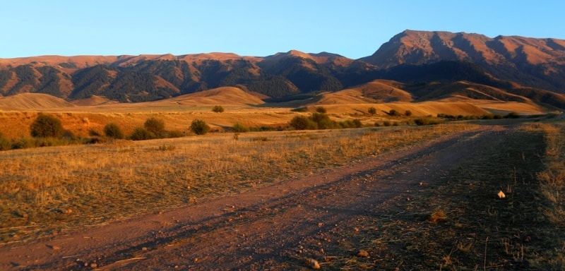
At 64 kilometers after the source, the river flows on a flat area, from here numerous villages of the Narynkol region begin. At 72 km, the river reaches the automobile bridge on the Almaty-Narynkol highway, the slope of the river acquires a flat character, numerous meanders appear in the swampy floodplain.
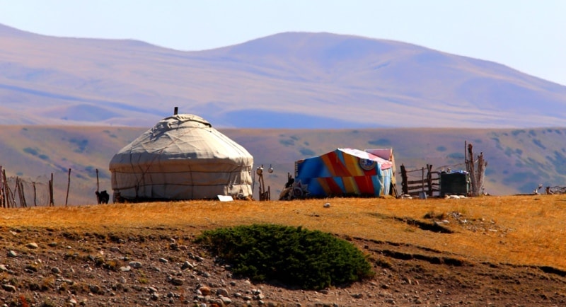
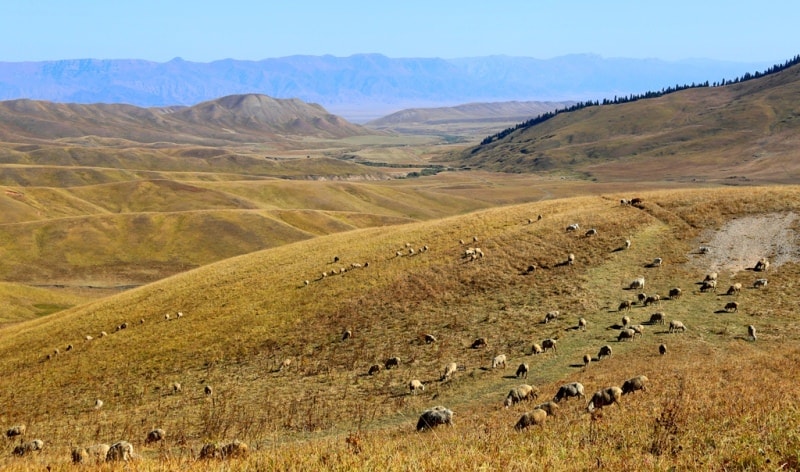
The water of the river is used for irrigation and other household needs. The villages of Tekes and Koktobe are located on the river in Kazakhstan. Below the village of Tekes, 120 kilometers from the source on the river, there is a small artificial reservoir, a hydroelectric complex and a hydroelectric power station.
Below the hydroelectric complex, the river flows to the very border along a swampy floodplain.
Geographic coordinates of the Tekes River: N42 ° 46'17.04 "E79 ° 34'30.20"
Authority and photos by
Alexander Petrov.