


![]()
Вы здесь
Zhylyoi district.

Hiking season Kazakhstan.
"Only that society, in which the people enjoy the supreme power, is the true repository of freedom, that freedom that is higher than all goods and which, not being equal for everyone, is not freedom."
Mark Tullius Cicero.
Tours across steppes Kazakhstan.
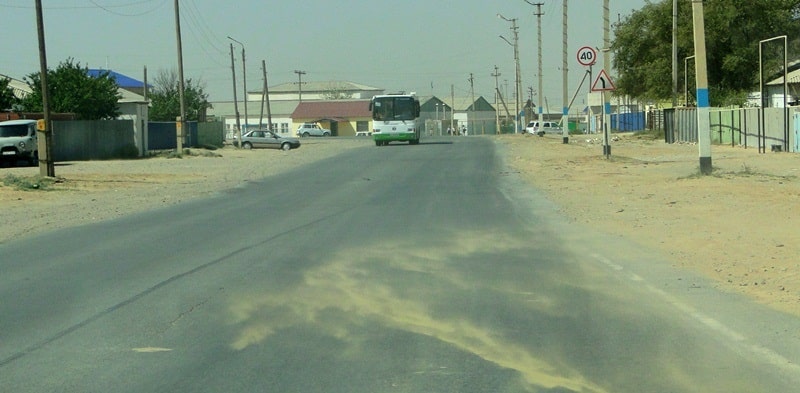
Zhylyoi district (Kaz. Zhylyoi audany) is located in the southeast of the Atyrau region. The administrative center is the city of Kulsary of regional subordination.
The territory of the region is 29.4 thousand square kilometers. The district was formed in 1928 under the name Zhilokosinsky district. In 1963 it was renamed to Emba district. The modern name is from October 7, 1993. The main population of the villages of Sarykamys and Karaton was relocated to the villages of Zhana Karaton and the city of Kulsary.
The resettlement was carried out in accordance with the decree of the Government of the Republic of Kazakhstan due to a sharp deterioration in the environmental situation as a result of accidents and planned emissions from the Tengizchevroil plant at the Tengiz field.
In the northwest, the district borders on the Makat district, in the north with the Kyzylkoginsky district of the Atyrau region. In the east - with the Aktobe region and in the southeast - with the Mangystau region of the Republic of Kazakhstan.
The relief of the region's territory is flat.
The western part of the region is occupied by the Caspian lowland, the eastern - by the Ustyurt plateau. In the northern part there are salt marshes, in the southern - the sands of the Karakum desert. Absolute heights vary from 26 to 221 m. a. s. l., the highest point is 212.7 m. a. s. l., Mount Zheltau.
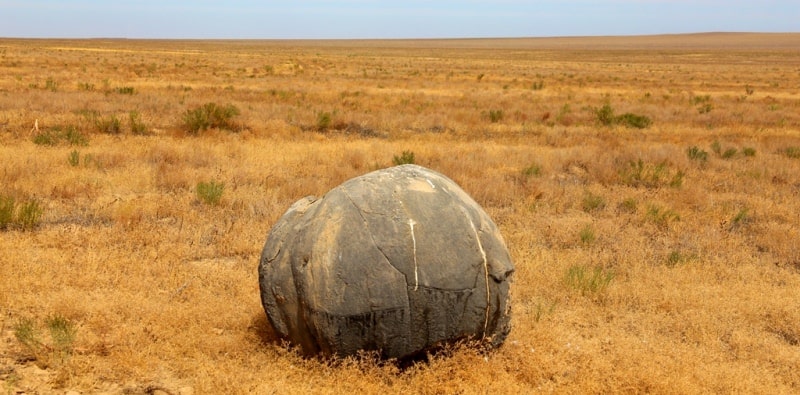
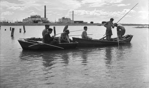
The Emba river flows through the territory of Zhylyoi district. There are also a number of small salt lakes and rivers that dry up in summer. The region is rich in minerals, among them oil and gas, the deposits of which are associated with salt domes (diapirs).
In the region there is the Tengiz field - one of the richest in the world. Winter is relatively w arm, summer is hot. The average January temperature is 9 ° С, July 26 ° С. The average annual rainfall is 140 - 150 mm. The soils are sierozem and saline; takyrs are also widespread.
The dominant plants are feather grass and wormwood, etc. The fauna of the region is wolf, fox, saiga, wild boar; along the banks of rivers and lakes - duck, goose and other water birds. The western border of the region is washed by the waters of the Caspian Sea.
The Emba River flows through the territory of Zhylyoi region from east to west. The administrative center of the Zhylyoi region is the city of Kulsary, located in the central part of the region. From the south-east to the north-west, the region is crossed by the Beineu - Kulsary - Makat railway with an exit through Makat and further west to Atyrau - Astrakhan to the north to Kandagach.
Through the village of Beineu, by rail, you can go to the south - to Mangyshlak and to the southeast - to Kungrad (Republic of Uzbekistan). Parallel to the railway there is a paved road. Zhylyoi region is rich in minerals, the main of which are oil and gas. In the Zhylyoi region, there is the Tengiz field - one of the richest in the world. In the southern part of the region, a Tengiz oil and gas processing plant was built, a railway and a road to the city of Kulsary were laid, an airport of local air lines was built.
In addition to oil and gas, the region has reserves of kirov and bituminous rocks (Akshiy field). In the southeast, in the area of the Zheltau mountains and the Sholkara ridge, industrial reserves of mineral waters saturated with sodium dioxide, calcium chloride, magnesium chloride, magnesium sulfate were discovered.
In the agriculture of the region, only livestock raising is used - breeding of cattle, horses, camels, rams and sheep, as well as the production of meat, milk, wool. On the territory of the region there is a monument of history and culture of Kazakhstan of republican significance - the Zhuban Mausoleum, built in 1880 - 1898, located 77 kilometers north of the town of Kulsary.
Also in the region there are 69 monuments of history and culture of Kazakhstan of local importance, of which two are modern: an obelisk to the participant of the Great Patriotic War Baizhan Atagozhiev (1895 - 1944), installed in the village of Akkiztogay in 1974 and an obelisk erected to celebrate the 100th anniversary Kazakh oil in the village of Akkuduk.
36 local monuments belong to the early Iron Age, one to the Neolithic, one to the 2nd - 1st centuries. BC, three - to the XVIII century, 10 - to the XIX - XX centuries. In the archaeological context, the most interesting are the Araltobe mound, where a burial with the remains of one of the Sarmatian leaders (129 AD) in a golden dress was found, the Ushkan ata necropolis and the Sherligul madrasah.
Authority:
"The results of a comprehensive expedition to the southeastern part of the Zhylyoi district of the Atyrau region of the Republic of Kazakhstan"
Zoologist, coordinator of the society for the protection of amphibians and reptiles at the ecological center "Dront" (Nizhny Novgorod, Russia) Ph.D. Pestov M.V
Botanist, Chief Researcher, Biotechnology Laboratory, Astrakhan State University (Astrakhan, Russia).
Doctor of Biological Sciences, Professor A.P. Laktionov
Coordinator of the project "CADI", ACBK, Astana Terentyev V.A.
Photos by
Alexander Petrov.