Вы здесь
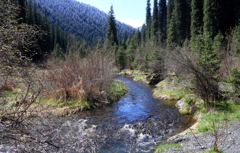
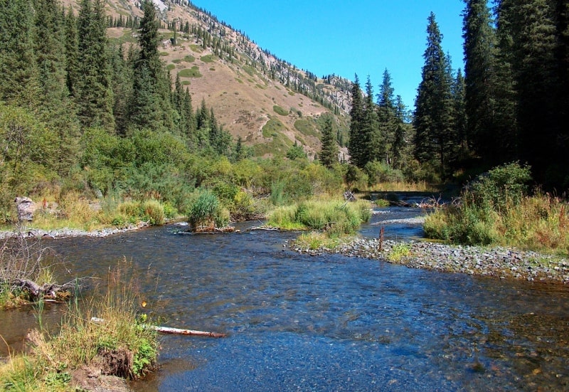
Kolsai River.

Rivers in Kolsai kolderi park.
“All aspirations and efforts of nature are completed by man; they strive for it, they fall into it like into the ocean"
Herzen A.I.
Rivers in Kungey Alatau mountains.
The sources of the Kolsai River are located at an altitude of 3274, the mouth is at an altitude of 1500 meters above sea level, flows along the northern slope of the Kungey Alatau ridge, through the territory of the Kolsai Kolderi natural park in the Kegen district of the Almaty region.
The length of the river is 25 kilometers, it is one of the longest rivers of the right tributaries of the Chilik. There are three lakes on the Kolsai River: Lower, Middle and Upper. The middle lake Kolsay unites 5 tributaries, which originate from the northern slopes of the Kungey Alatau ridge, after the Middle Lake the river flows in one channel and is called Kolsay.
One of the eastern tributaries originates from the moraine Sarybulak lake located at an altitude of 3157 meters above sea level, and after 6 kilometers flows into the Upper Kolsai Lake. The river forms picturesque cascades between the Lower and Middle Kolsai lakes.
The river flows out of the Middle Lake in a northern direction, overcomes the blockages of the Tien Shan spruce, which filled and blocked its source.
Geographic coordinates of the Kolsai River: N42 ° 57'46.65 "E78 ° 18'54.21"


Authority and photos by
Alexander Petrov.


