Вы здесь
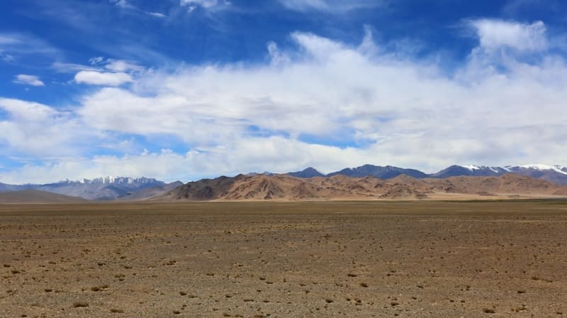
Chukur in Tajikistan.
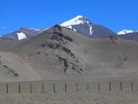
Mountains and peaks of Tajikistan.
“In the upper reaches of the valleys live the remnants of our Aryan ancestors. Meager patches of people, driven out by the raids of the Mongols, clung to the battlements of the mountains and still managed to preserve their ancient culture. Of course, only scientists who are also mountaineers, and mountaineers whose passion for sports activities are ready to walk ahead of the scientist on unbeaten paths, are suitable for such an event. This was not a sensational trip, rich in adventure. It was a very large scientific work. On behalf of my employees I can say:
“Yes, they wove new stems into the closely intertwined wreaths of glory of Russian and German science over two centuries.”
Willie Rickmer Rickmers. Alai-Pamir expedition of 1928.
Relief of Tajikistan.
The modern relief of the flat part of the Alai Valley is disrupted by relict formations of ancient glaciation, which covered the entire Alai. In the eastern part of the valley, adjacent to the Trans-Alai Range, the modern relief can be characterized as moraine-hilly.
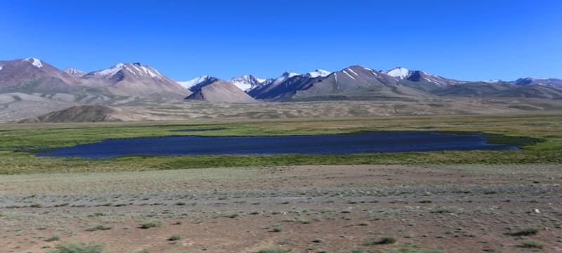
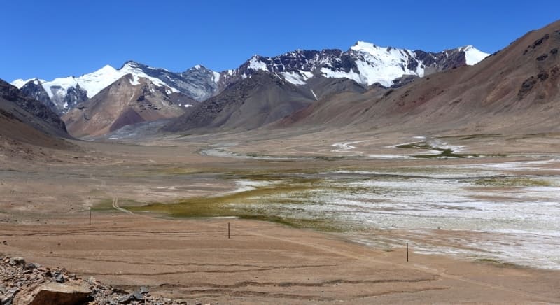
Here, vast areas (more than 250 sq. km) are entirely occupied by the so-called “chukurs” - a chaotic alternation of hills and depressions, characteristic of the surface of glacial tongues that are in the stage of degradation (retreat). This “chukur” relief apparently formed in the penultimate phase of glaciation, after glacial tongues crawled into the valley.
The offensive period quickly gave way to a reverse process. The tongues, deprived of the influx of ice, began to melt, leaving behind a hilly topography, named by the first researcher Alai A.P. Fedchenko "chukur".
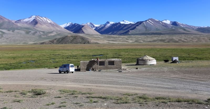
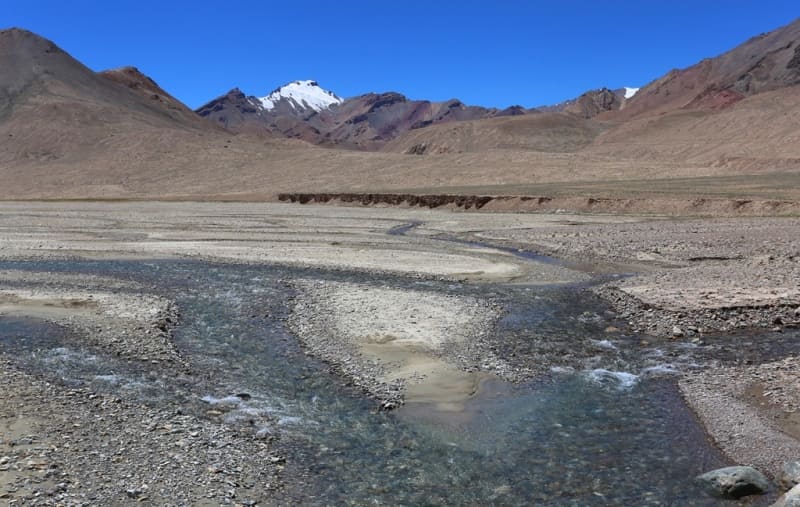
In the Kosh-Agych valley, which is located in the valley of the Aksu River in the southeast of the Murgab region of the Gorno-Badakhshan Autonomous Region, the relief of the valley is represented by chukurs.
Geographic coordinates of Kosh-Agyl valley: N38°03'14 E74°26'31
In the valley of the Zartoshkol and KokuybelAgych rivers, which is located 60 kilometers southwest of Lake Karakul in the Murghab district of the Gorno-Badakhshan Autonomous Region, the valley topography is also represented by chukurs.
Geographic coordinates of Zartoshkol-Kokuibel valley: N38°34'12 E73°02'59
Authority:
"Glaciers." L.D. Dolgushin, G.B. Osipova. Series "Nature of the world." Moscow, the publishing house "Thought". 1989.
Photos by:
Alexander Petrov.


