Вы здесь
Malaya Almatinka River.

Hiking along river valleys of Zailiysky Alatau.
“We crossed another river, which was an insignificant stream, about eight miles before reaching the Almaty picket. This was the river (Almaty), which breaks out of the mountain gorges near Verny itself”
Pyotr Semenov Tyan-Shansky. “Heavenly Kherebet and the Zailiysky Region”.
Mountainous regions of Kazakhstan.
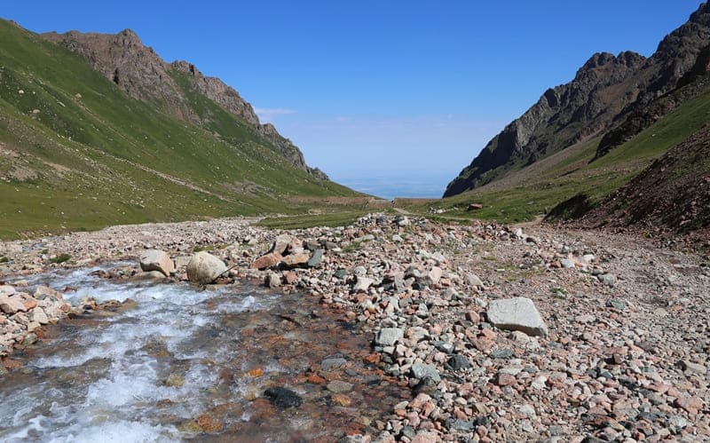
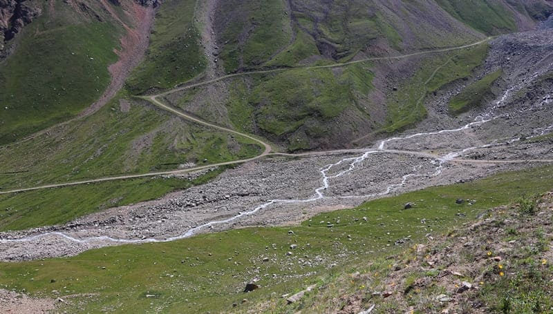
Malaya Almatinka River is located: sources at an altitude of 3537, mouth at an altitude of 483 meters above sea level, is located on northern slope of Zailiysky Alatau ridge, in Medeu district of Almaty and Talgar district of Almaty region.
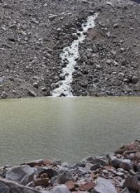
The upper reaches of the Maloalmatinsky gorge are located in the Tuyuk-Su glacier cirque, and the sources of the Malaya Almatinka River are also located here, which originates from several glaciers, the main ones being the Tuk-Su glacier and the Molodezhny glacier.
The Malaya Almatinka River flows into the southwestern part of the Kapshagay Reservoir. It originates from the Tuyuk-Su glaciers located in the upper reaches of the Maloalmatinsky gorge on the northern slope of the Zailiysky Alatau ridge.
The length of the river is 125 kilometers, the catchment area reaches 710 square kilometers. The main tributaries are: Sarysay, Gorelnik (Kuigensay), Kim asar, Kazachka, Butakovka and others. The Malaya Almatinka River basin is located in 3 different landscape zones: mountain, foothill and flat.
The Malaya Almatinka River has a left tributary, the Esentai River (Vesnovka), which originates in the foothills. The Vesnovka River floods in May-June. It is fed by snow and rain. It is used for water supply of Almaty and irrigation.
The right tributary of the Malaya Almatinka is the Karasu River (Kazakh Log), which originates from the springs of the northern slope of the Zailiyskiy Alatau, the river is 1 kilometer long, has 11 small tributary streams.
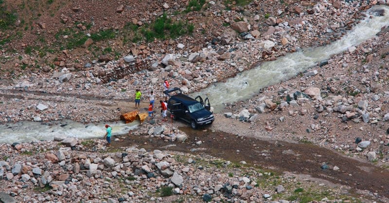
The flow is all year round. The average long-term water consumption is about 10 liters per second. The greatest flow is observed during the snowmelt period. Water from Karasu is used for irrigation. The river bed in the mountain zone is moderately winding, composed of boulder-pebble deposits, from 3 to 13 meters wide, the depth of the river from 0.15 to 0.5 meters, the average long-term annual water flow is 0.32 cubic meters per second (at the Mynzhylky weather station), 2.3 cubic meters per second near Almaty.
Malaya Almatinka and its tributaries pose a mudflow hazard. The most catastrophic mudflows were observed in 1921, 1956, 1973. In the Medeu tract, in the Malaya Almatinka basin, an anti-mudflow dam was built. At the exit from the Maloalmaatiyskoye gorge, the river divides into 3 branches: Esentai (Vesnovka), Kazachka and Malaya Almatinka itself. Within the city limits, the Malaya Almatinka flows along the eastern outskirts of Almaty, its banks are concreted, in the area of Abay Square the river is enclosed in an underground pipe.
In the Malaya Almatinka basin there are 46 lakes, ponds and reservoirs. with a total surface area of 2.5 square kilometers. The river's water is used for water supply of industrial enterprises and irrigation.
In the Malaya Almatinka river basin there is a system of Malya Almatinka canals, which unites a network of sources of the Malaya Almatinka river basin for the purpose of regulating water supply and irrigation of agriculture in Almaty and the Talgar district of the Almaty region.
The system was built between 1930 and 1975 and is represented by the main canals: Teres, 7.5 kilometers long, with a water flow rate of up to 1.8 cubic meters, irrigates up to 1,500 hectares of land in the village of Dzhetygensky, the village of Kazachka, 15 kilometers long, with a flow rate of 1 cubic meter per second, irrigates up to 659 hectares in the village of "Luch Vostoka", etc.
The canal system supplies 1,067 hectares of mountainous areas with a total length of 24.7 kilometers. Recreation areas and sports facilities are organized along the banks of the canals.
Geographic coordinates of Malaya Almatinka River: N43 ° 07'37 E77 ° 04'30


Authority:
"Dictionary-reference book of mountaineering, tourist and local history terms." Zhizdybaev TK Almaty, 2004.
Photos by:
Alexander Petrov.


