


![]()
Вы здесь
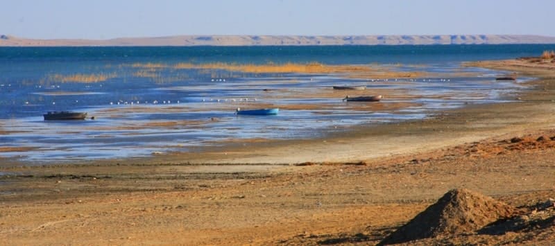
Lake Kamyslybas
Tour and travel to Aral Sea in Kazakhstan.
“Nature encourages no looseness, pardons no errors”
Ralph Waldo Emerson.
Water touring on Aral Sea.
Lake Kamyslybas (Kambash, Kamyshlybash) is located at an altitude of 56 meters above sea level, located 68 kilometers southwest of Aralsk, 2.7 kilometers from the highway M 32 Samara - Almaty, 2.3 kilometers west of the village of Kamystybas , in the Aral region of the Kyzylorda region.
The lake stretches from the southwest to the northeast for 28.5 kilometers, the largest width in the eastern part reaches 7.7 kilometers. The greatest depth is 16 - 18, the average depth is 2 - 2.5 meters. In the northeastern part of the lake is the Karapasat Bay, to the east of which there is an unnamed peninsula.
In the western part, the lake is connected by a channel with Lake Laikol, which, in turn, is connected by channels with lakes: Kayazdy, Zhingyldy, Zhalanashkol, Kuly. In the southern part there is Lake Shamyshkol, separated by a 400-meter jumper from Lake Kamyslybas.
In the eastern part, the lake borders on the sands of Sarykum, stretching from south to north for 13 kilometers. The sands of the Aral Karakum are located 12 kilometers northeast of the lake. In the western part, Kamyslybas is separated from Lake Zhalanashkol by the sublatitudinal Kutumsyk ridge.
Syrdarya River flows 9 kilometers to the southwest. In terms of transparency, the water is not inferior to Lake Issyk-Kul. In any place of the lake, the water remains transparent, bottom silt does not rise from the bottom, which interferes with the transparency of the lake.
Scientific studies on the lake were not carried out, the nature of the formation of the reservoir is unknown. The bottom, in contrast to other lakes, where it is usually sandy or muddy, in some places is as if lined with burnt tiles.
Locals claim that the water of the lake has healing properties. Small wounds and abrasions in fishermen are tightened right before their eyes. These facts have not been confirmed by medical reports, but they have not been refuted either.
More than 300 days a year there is cloudless weather over Kambash. Even the winds over the amazing lake are less frequent than in the surrounding steppe. Most of the lake can be seen from the Temirshi mound, 122 meters above sea level, which is located in the southeastern part of the lake, near the village of Kamystybas, visibility from the mound opens up to 15 kilometers.
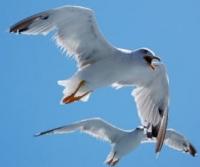
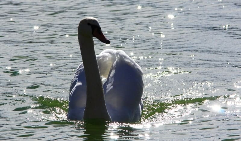
From here, the entire system of interconnected lakes is clearly visible. The shores are mostly sandy, rocky in places, mostly gentle and comfortable for swimming. Up to twenty species of fish live in the lake, among them: carp, pike, catfish, grass carp, silver carp, bream, crucian carp, roach and others.
Geographical coordinates of Lake Kymyslybas: N46°11'38.39" E61°48'28.01"


Authority and photos by
Alexander Petrov.