Вы здесь
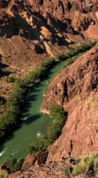
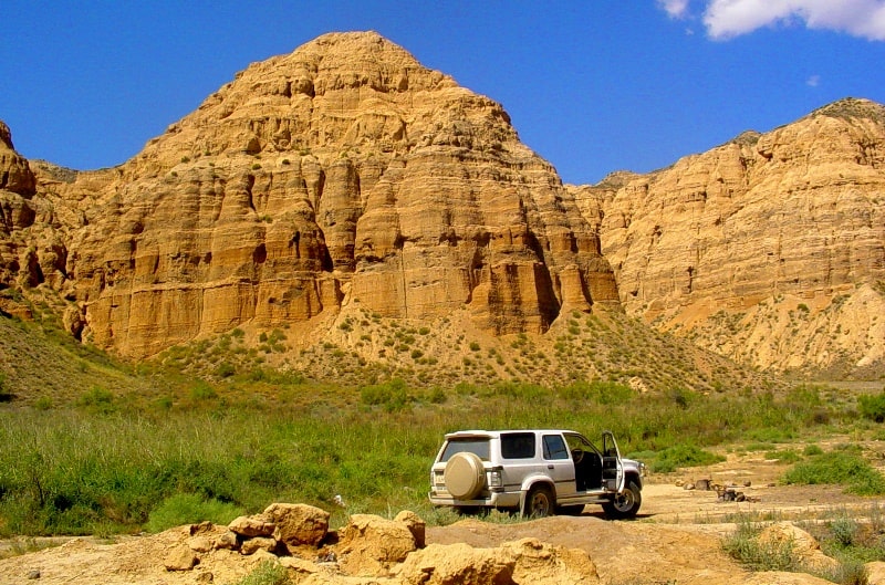
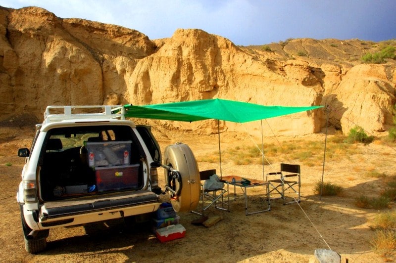
Uzun-Bulak canyon on right bank of Charyn River.
Leisure package tour Kazakhstan.
“As soon as man seeks to penetrate the secrets of nature - in which nothing is secret and it is but a question of seeing - he realizes that the simple produces the supernatural”
Honore de Balzac.
Mystery tour in Kazakhstan.
Uzunbulak Canyon is located in the southern part of the Katu Mountains, located on the right bank of the Charyn River, 1.5 kilometers east of the Kurtogay tract, 1.7 kilometers east of the Kegen bridge on the Charyn River in the Raiymbek district of Almaty region.
After 3 kilometers downstream after the Kegen bridge, the Uzun-Bulak riverbed adjoins on the right. Canyon Uzun-Bulak is located in the northern part at an altitude of 1088 in the southern part to 1163 meters above sea level.
The length of the canyon from south to north is 3 kilometers. In the vicinity of the canyon there is a clay cave with a length of about 30 meters. 1.8 kilometers from the mouth of the Uzun-Bulak, up the picturesque canyon, there is a small spring with clean and pleasant-tasting water.
Geographical coordinates of spring in Uzunbulak canyon: N43°16'38.79" E78°59'52.85"
The canyon has several other names: Lunar Canyon and Yellow Canyon. 100 meters upstream of the river, from the mouth of Uzun-Bulak, cascades of rapids "Toothbrush" begin for lovers of sports rafting on the rivers. The first cascade of rapids, 430 meters long, is rated by sports tourists with 5 and 6 difficulty categories.
After 250 meters, the next cascade of rapids "Toothbrush" begins, 460 meters long. This threshold also applies to 5 and 6 difficulty categories. These rapids can only be traversed by kayaks, because the very dangerous nature of the river is felt here.
Huge angular, sharp stones are scattered in the channel of the rapids, which clutter up the river, there is a sharp drop in water vertically. Stones literally block the channel in places where the rapids pass. The most difficult obstacle is a giant stone that blocks most of the riverbed. A furious, foamy stream of water breaks through the remaining passage between the stones.
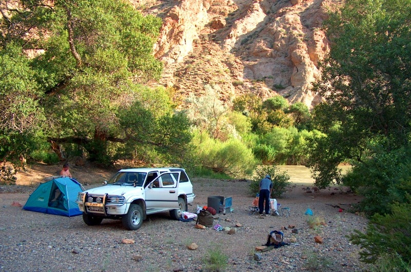
In order to get into the canyon, you need to drive after the Kegen bridge (towards the village of Kegen) 4.3 kilometers and turn left, to the north. From here begins a dirt road, which at first passes along a wide seasonal channel with a decrease to the Charyn River for 3 kilometers.
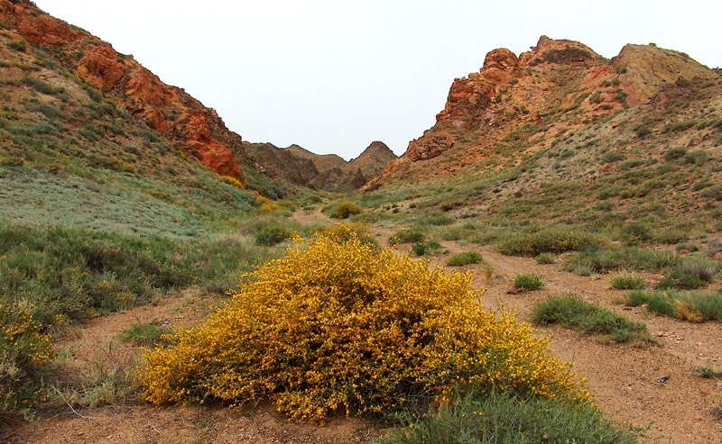
From the end of the main canyon, you can take a walk along the gorge with a length of 1200 meters to the right bank of the Charyn River. The walk will take place along a granite canyon overgrown with trees, shrubs and reeds.
The canyon has a large number of dry channels, ravines and ravines, which form a dense and disorderly network of small independent gorges. The lower part of the canyon lies between colorful bedrocks. The best time to visit the natural attraction of the Uzun-Bulak canyon is from April to September.
Geographic coordinates of the Uzun-Bulak canyon on right bank of Charyn River: N43°16'11.37" E78°59'38.09"
Authority and photos by
Alexander Petrov.


