Вы здесь
Lakes Titov.

Take a guided tour in Kazakhstan.
"There is no truth without love to the nature,
There is no love to the nature without feeling of beauty"
Ya. P. Polonsky.
Night-time tour in Astana.
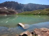
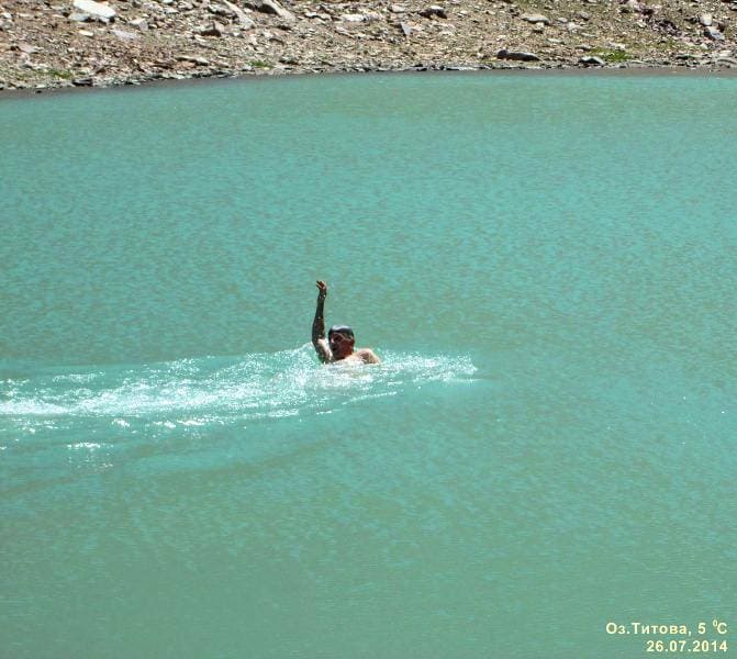
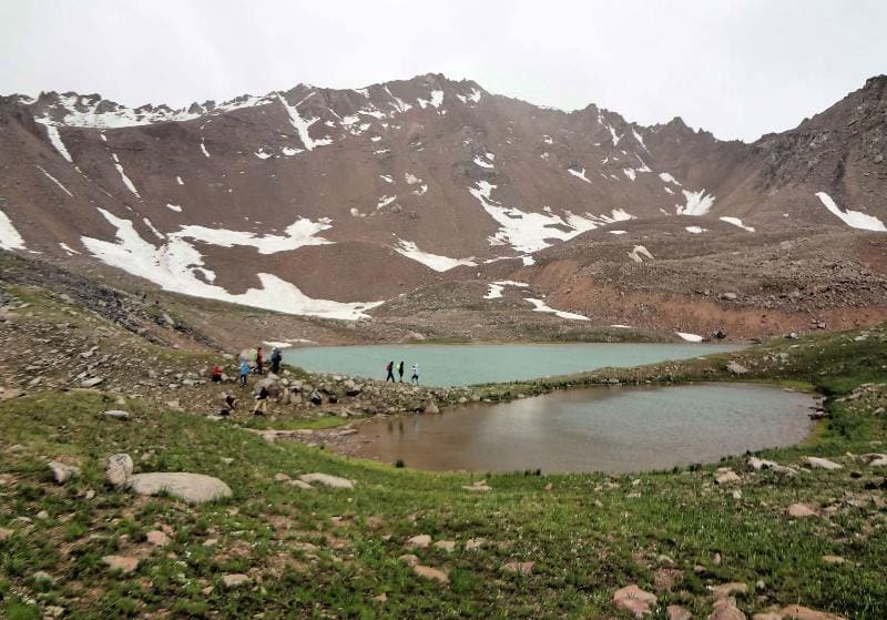
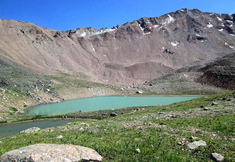
Three small flowing, fresh, moraine lakes Titova are located at an altitude of 3359 meters above sea level, are located in south-eastern part of Kumbel Tau ridge, on northern slope of Zailiysky Alatau ridge, in upper reaches of Gorelnik gorge in Medeu district of Almaty.
The Gorelnik River, which is 7.4 kilometers long, originates from the lake. The lakes are located in an intermountain basin formed by the south-eastern slopes of the Kumbel Tau ridge, the northern slopes of the Titova peak, 3850 meters above sea level, and the western slopes of the Mountain of Memory of Mountain Eagles, 3665 meters above sea level.
872 meters to the northwest, behind a small ridge that extends east from the Kumbel Tau ridge, is Gorelnik Lake, which is more often called Titov Lake. At least it is included in the concept of 4 Titov Lakes. Three Titov Lakes located in the intermountain basin are fed by springs and three glaciers that descend from the northern slope of Titov Peak.
Llargest flowing, fresh, moraine lake Titov - 1, located in the southern part of the basin, is 178 meters long and 109 meters wide. The area of the lake reaches 13855 square meters, the length of the shoreline is 451.39 meters.
Second lake Titov - 2, is located slightly north of Lake Titov -1, separated from the main moraine isthmus stretching from northeast to southwest for about 170 meters. The length of the lake is 72 meters, the greatest width in the central part reaches 24 meters.
The area of the lake reaches 8391 square meters, the length of the coastline is 380 meters. The third lake, very small and does not require a description, is located under the northwestern part of the moraine, which descends from the northern slope of the Titov peak, in the southwestern part of Lake Titov - 1.
Here is what the local historian from town of Altai (former Zyryanovsk) of the East Kazakhstan region Alexander Lukhtanov writes in "Essays on the history of Kazakhstan Semirechye":
"Since 1921, the assistant to the chairman of the "Society for the Study of Jetysu" was Valerian Semenovich Titov - a botanist, a graduate of Tomsk University. The society was organized by a native of Verny, Vladimir Dmitrievich Gorodetsky (1878 – 1957), a teacher by profession, a local historian and an enthusiast of studying the nature and history of Semirechye.
Since 1915, Gorodetsky conducted glaciological studies of the glaciers of the Zailiysky Ala-Tau. Gorodetsky was the first to describe the glaciers of the sources of the Bolshaya Almatinka. From November 1, 1920, he was appointed head of the regional museum.
At the same time, he was deputy chairman of the Semirechye department of the Russian Geographical Society, and from the fall of 1921 he became chairman of the "Society for the Study of Dzhetysu", which he and his followers had founded and which existed at the regional museum.
While studying local history, he also devoted time to working with schoolchildren in clubs. Thus, in the area of the Kok-Zhailyau tract in the outskirts of Almaty, under the summit of Mount Kumbel, they built a light station for field observations. His name remained in the names of one of the most popular and closest to Almaty peaks of the Zailiysky Ala-Tau and a tiny glacier in the upper reaches of the Gorelnik River in the Malaya Almatinka basin.
However, tourists and climbers visiting this peak more often associate the name of the mountain with the name of the famous cosmonaut, and few of them know about the real person whose name it bears.
Geographic coordinates of Titov lakes: N43 ° 05'08 E77 ° 03'05


Authority:
Alexander Petrov.
" Essays on the history of Kazakhstan's Semirechye ." Alexander Lukhtanov.
Photographs by:
by Sergei Mikhalkov, Dina Ibragimova.


