


![]()
Вы здесь
Ridge South Aktau.
Observing excursion tour Mangyshlak.
“We leave something of ourselves behind when we leave a place, we stay there, even though we go away. And there are things in us that we can find again only by going back there”
Pascal Mercier. «Night Train to Lisbon».
Travel packages plateau Ustyrt.
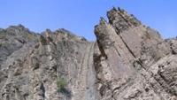
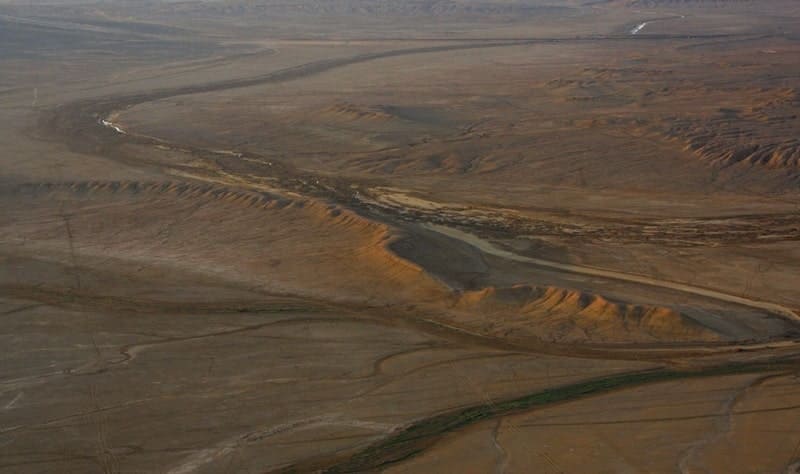
South Aktau Ridge (kaz. Ontustik Aktau) belongs to the Mangyshlak Upland, is located in the central part of the Mangyshlak Peninsula in the Mangystau region of the region of the same name. In the southern part, in the north, the ridge borders on the West Karatau ridge, in the central part, in the south, the ridge borders on the Ulanak ridge for more than 7 kilometers. In the north, the ridge borders on the Karashasaura valley.
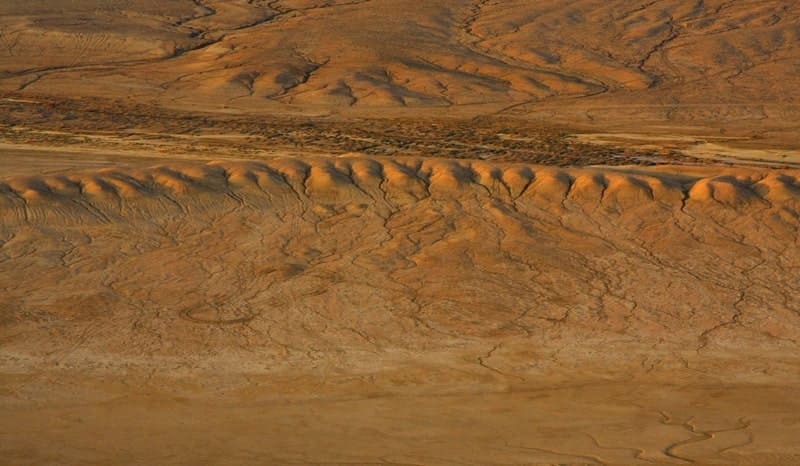
The length of the ridge from southeast to northwest is 48 kilometers, its width in the northern part is up to 42 kilometers. South Aktau Ridge, like North Aktau, is composed of Cretaceous and Paleogene sediments (limestone, chalk), unlike North Aktau, they have younger Neogene formations (limestone, sandstone, sand, conglomerates).
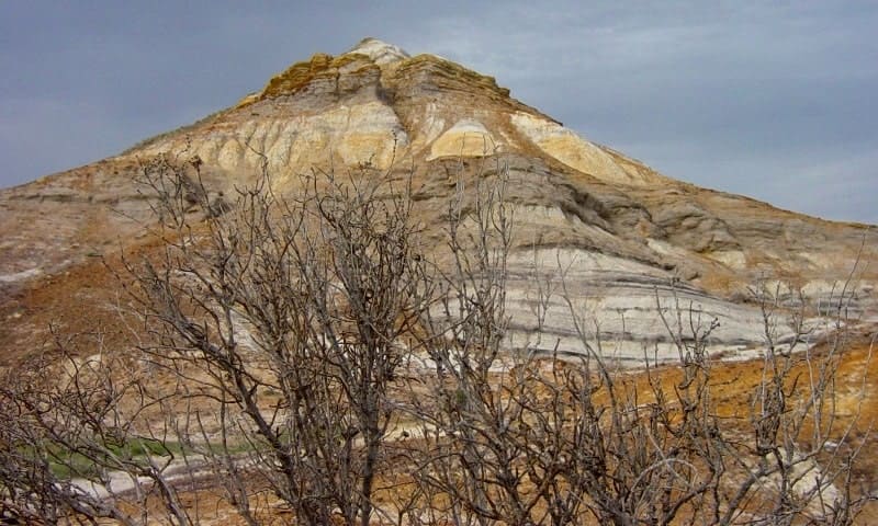
The soils of the area are underdeveloped, of different mechanical composition, with bedrock outcrops. The southern ridge of Aktau, in some places cut by ravines. Its northern slope, which has absolute elevations from 200 to 292 meters above sea level (Akkurkan mountain), breaks off to the Karatau plains from 100 to 130 meters high, resembling in appearance the opposite slope of North Aktau.
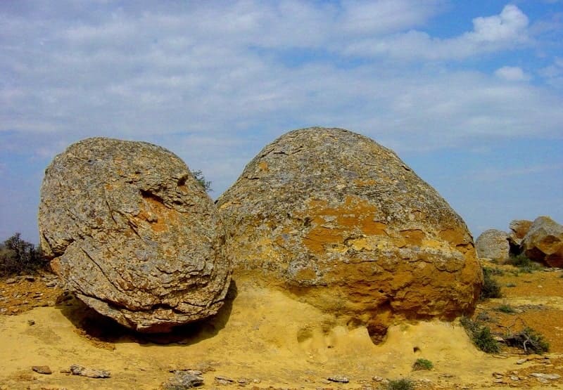
The upper two thirds of the slope are monolithic outcrops of limestone, in the lower third are chalk.
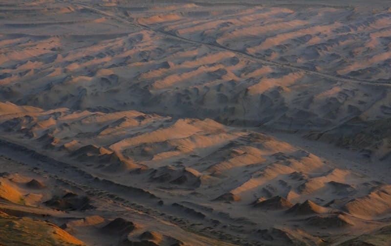
Outcrops of rocks are weathered, weathered, with runoffs, cut down at the bottom by numerous beams. The steepness in the upper part is about 40 - 45, in the lower third - 20 - 15, on the cables - 3 - 5. The southern gentle slope of the ridge is either narrow (1 - 2 km) or wider (up to 9 km), divided into parts by canyon-type valleys of the hydrographic systems of Kashkarata and Karagiye, which sometimes do not reach the northern cliff, and the slope is south is not expressed along the entire length of the macro slope.
So, in its western half there is a very small, imperceptible for the eyes, lowering of the terrain, consisting in changing the height of only 20 meters over a length of 5 kilometers. The relief of the slope here is flat - weakly undulating and flat and wallow.
Characterized by the outputs of limestone in the form of small hills or horizontal plates, elongated stripes parallel to the top of the ridge.
Geographical coordinates of South Aktau ridge: N44°14'43.94" E51°27'02.11"
Authority
I.N. Safronov. "Desert Mangyshlak",
Alexander Petrov.
Photos by
Alexander Petrov.