


![]()
Вы здесь
River Kildyk.


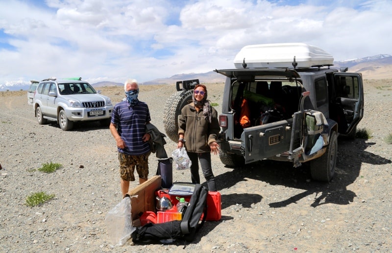
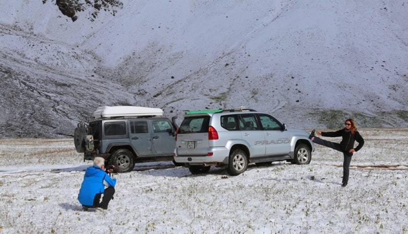
Photo tours in Tajikistan.
“may came home with a smooth round stone as small as a world and as large as alone”
E.E. Cummings.
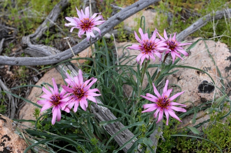
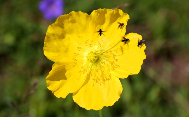
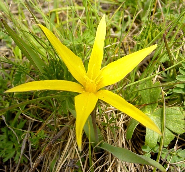
Photos of nature of Tajikistan.
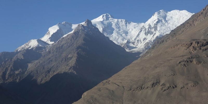
In July-August 1953, an expedition group organized by the High-Hedge Research Commission of the Moscow branch of the Geographical Society of the USSR visited the western part of the Zaalai range. The starting point of our journey was Stalinabad, the beginning of the caravan route - the regional center of the Garm region of the Tajik SSR - the village of Jirgatal.
The river Kildyk originates from the slopes of the peaks of Kyrgyz and Kozak; its main right tributary is r. Svie begins from the slopes of the Koz-Kor gon and Svie peak. The river Svie merges with Kildyk 5 km from the confluence of Kildyk and Kzylsu.
The length of the valley. Kildyk - about 25 km. In the lower reaches, the river bed flows into a hilly valley bottom at 40 – 50 m. Hills covered with steppe vegetation resemble bog formations, but these are remnants of river terraces gradually descending to the wide valley of the r. Kzylsu.
On one of these terraces is located the only permanent settlement on the northern slopes of Zaalai - the village Svie. It represents the settlement of the collective farm of Jay-Kainda, whose central estate is located on the opposite bank of the Kyzylsu.
In the middle course of the Kildyk (from the mouth of the Svie River and to the confluence of two sources of the Kildyk River, the Western and Eastern Kildyk), for a length of 3 – 4 km from the mouth of the Kildyk River. There are no coastal terraces, the slopes of the gorge are steep and covered with scree and rocks.
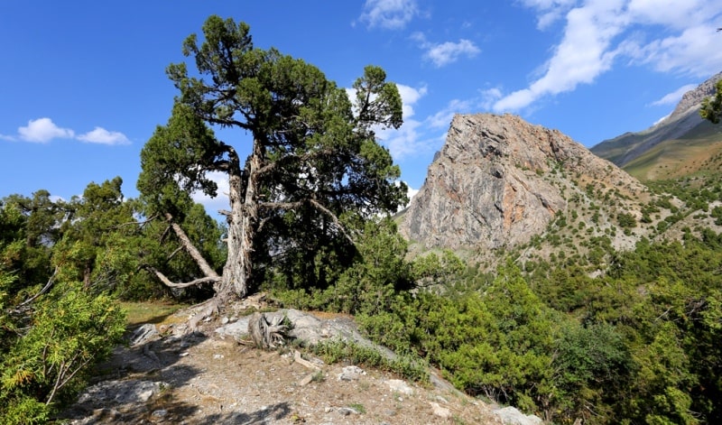
On the slopes in some places are visible individual bushes creeping juniper. The slopes rise above the river to an altitude of 3800 – 3900 m and consist of red-brown and yellow-brown sandstones. Upstream, terraces reappear on both banks, especially well preserved on the left bank of the river.
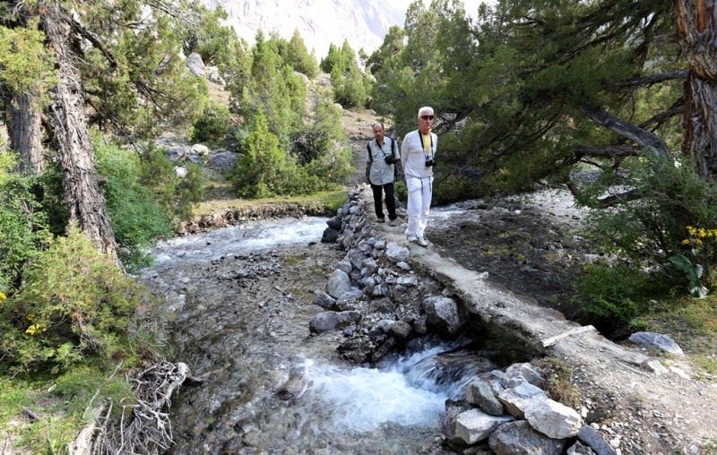
It is on these terraces, covered with meadows and in places swamped, that the trail descends from Shota Pass. The river flows in a deep canyon 50 - 60 m below the terraces. This canyon is especially picturesque at the very top.
A muddy yellow river foams at the bottom of the gorge, its right bank is almost sheer and covered with yellow brown talus, the left bank and the bottom of the canyon are overgrown with dense mixed forest. At the confluence of the Western and Eastern Kildyka, the valley widens, the terraces turn into a hilly plain.
Here, at an altitude of 2900 – 3000 m, the ancient glacier of the last glaciation phase ended, which is also indicated by two lakes with clear and rather warm (up to 16 °) water. Herds of horses, flocks of sheep and herds of yaks freely graze on the wide hills.
In the interfluve of the Western and Eastern Kildyk, on the hill moraine plain, the yurts of the collective farm workers of the Dzhekainda collective farm are scattered. Valley r. West Kildyk is harsh and inhospitable and represents a typical trog, the slopes of which have been destroyed in places.
On the left bank there is a well-visible hanging valley, the height of the mouth of which reaches 80 - 100 m. Numerous springs with clear and unusually cold water overlook the terraces. 4 km above the mouth, to the right, a clear stream flows into the river, a spectacular waterfall falling from the hanging valley.
In the upper part of the gorge sharply turns to the east and ends with a glacier, which is located at an altitude of 3400 m. The main glacier in the headwaters of the Western Kildyk picks up avalanches descending from the steep snowy slopes of the Kyrgyz peak, rising with many-sided pyramid.
A narrow glacier flows down from the slopes of the Kyrgyz peak, exposed to the south and merging with the main glacier. Below the place of this confluence at the slopes of the peak, the glacier forms icefall. The lower part of the glacier is covered with moraine material.
Large moraine shafts, cut the whole lobe, deflect the river to the right slope. Leaving the region of moraines, the river flows along the flat bottom of the valley, covered with pebbles, and only below it enters a narrow gorge.
To the north of the main glacier in a narrow valley lies another glacier, which was almost not visible from the places of our observation. The main glacier of the headwaters of the West Kildyk, we propose to call the "Kyrgyz glacier" on behalf of the summit, rising in its headwaters.
A rocky peak with a height of 4,750 m rises above the numerous moraine hills of the lower part of the glacier by a black one and a half kilometer wall. This peak we called the Black Wall. The upper reaches of the West Kildyk valley are best viewed from the peak “4050” located in the ridge between the valleys of the West and East Kildyk.
On July 24, members of our group, B.I. Rukavishnikov and L.E. Opukhovsky. The short valley (about 8 km) of East Kildyk represents a striking contrast with the gloomy valley of West Kildyk. The rich juniper forest fills both the floodplain itself and the coastal terraces.
In particular, this forest is good at the beginning of the gorge, where our camp was set up. Shady juniper bushes are interspersed here with picturesque glades, in the gaps between the trees, the slopes of Kozak Peak sparkle in the sun, breaking into the valley with a kilometer-long snow wall.
If in the valley of Kildyk everything reminded us that we are in the harsh Pamirs, then East Kildyk awakened memories of the warm valleys of the Caucasus, and only the unusual power of the Caucasus for snowy peaks brought us back to reality.
To the glaciers in the headwaters of East Kildyk, you can pass both the right and left banks of the valley: the green terraces stretch along the right slope even above the glacier. Glacier, giving rise to r. East Kildyk receives power from the snowy rocky slopes of the walls of Kozak Peak, to the north from which a powerful spur departs, dividing the entire upper reaches of the glacier into two completely separate parts, united into one circus only during the times of ancient glaciation.
A significant part of the glacier is filled with stained holos. In its western part there is a main glacier about 2.5 km long, which feeds from dumps from the snow walls of the peak located west of the Kozak peak and flows down into the valley.
Further to the west, two glaciers fall down from the slopes of the Zaalaysky ridge, forming powerful icefalls over the lower part of the main glacier. This ice remains open for no more than 1 km, and below it is covered with a dense moraine cover, which forms hillocks due to uneven melting of ice.
The glacier ends with a cliff 10 to 15 m high, from the grotto in the lower part of which a river escapes, which flows along a wide pebble floodplain. Further to the rear, there is a third circus, in the upper reaches of which there is a small glacier.
Interestingly, the westernmost of the rivers flowing in this circus has a red color - it apparently flows not from the main ridge, but from the ridge separating the basins of the Western and Eastern Kildyk. The spur that separates the circus of the headwaters of the Eastern Kildyk, in the lower part is covered with a thick layer of moraine material and passes into the shaft, abruptly breaking off to the side of the western circus.
The vast space between this shaft, whose height reaches 50 - 60 m, and the body of the glacier is occupied by gentle hills or flat bottoms of moraine lakes. In the lower part, this moraine shaft passes into the hills covered with grass and shrub vegetation.
We called the main glacier of the western part of the circus the “Kildyk glacier”. The main glacier, located in the eastern part of the glacier, descends from the Zaalaisky ridge almost parallel to the wall of Kozak peak. From this wall two open glaciers descend to it, one of which does not reach the lower current of the main one.
This small glacier, no more than 2 km long, ends at about an altitude of 3700 m, well above the Kildyk glacier. On the side of it flows a stream flowing along a very steep river channel. On the left bank of this creek there are numerous moraine hills gradually turning into the slopes of the main moraine shaft separating the Kildyk circuses.
We called the main glacier of the western part of the circus the “Kozak glacier” by the name of the summit, from the slopes of which it originates. Before proceeding to the description of the valley r. Let's leave the structure of the watershed ridge between Kildyk and Svie.
Rising from the Kildyk valley to 300 – 400 m along a steep path, you find yourself, as it were, in another world: pastures are spread out before your eyes, located at an altitude of 3,400 – 3,600 m, and water in the lakes and marshes gleams between gentle hills.
These plains abruptly cut off towards Kildyk and towards Svieh. The relief of these pastures, as well as pastures in the region of the Kildyk Pass and on the others between the ridge valleys, resemble ancient peneplains.
It is possible that the entire northern slope of the western part of the Zaalai Range once consisted of an inclined plain in which the rivers then washed deep gorges, dividing it into separate parts.


Enlightener:
V.V. Nemytsky "A trip to the Zaalai ridge." 1953.
Photos by
Alexander Petrov.