


![]()
Вы здесь
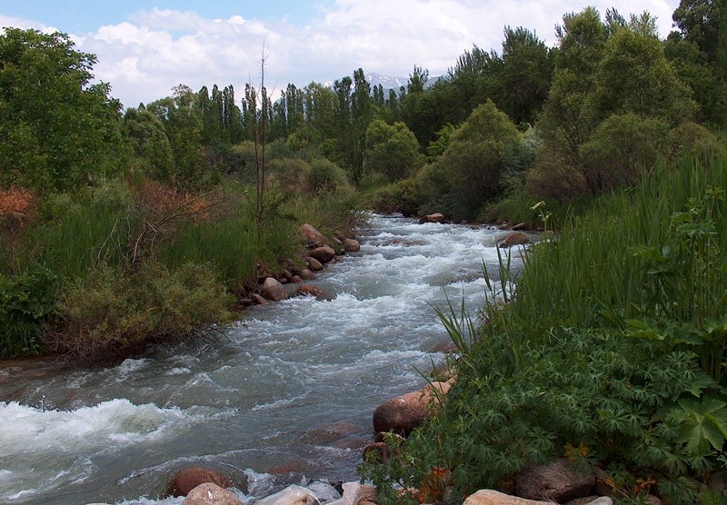
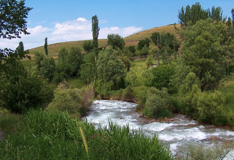
Sairamsu River.

Bird Watching Tours in Sairam-Ugam park.
“At his best, man is the noblest of all animals; separated from law and justice he is the worst”
Aristotle.
Photo Gallery about Sairam-Ugam park.
The Sairamsu River flows on the northern slope of the Ugam Range in the mountain system of the Western Tien-Shan in the Tolebi District of Turkestan Region. The river is located on the territory of the Tolebi branch of the Sairam-Ugam National Natural Park.
The length of the Sairamsu River from its source to the confluence of the Badam River is 74 kilometers. In the upper reaches, the Sairamsu River receives two small eastern tributaries. Through the Lake Superior Sairamsu flows the western tributary of the Sairamsu River, which originates from glacier No. 78, 79.80.
Just below the lake, the Sairamsu River receives two more tributaries - the middle one, which originates from glacier No. 77 and the eastern one, which originates from glaciers No. 75 and 76. In the vicinity of the memorial to the dead climbers, on the right side is the mouth of an unnamed stream, which originates from northern glaciers of the Sairamsu peak massif 4236.1 meters above sea level.
On the Sayrmasu River at an altitude of 1701.1 meters above sea level at the mouth of the Sazanata River with a length of 4 kilometers, there is a tourist base "Alteks".
From here you can take walks to the alpine lakes and climb the highest peak of the Ugam range, Sairam peak. The Sazanata River receives the left tributary of the Karzhailau with a length of 8 kilometers, which originates from glaciers No. 60 and 70.
In the southern part of the Sairam massif, the Ayutor River flows, which flows into the Maydantal River.
Authority:
Alexander Petrov.
Photos used
with permission of Alikhan Abdeshev, Tourism Manager of Sairam-Ugam National Park.