


![]()
Вы здесь
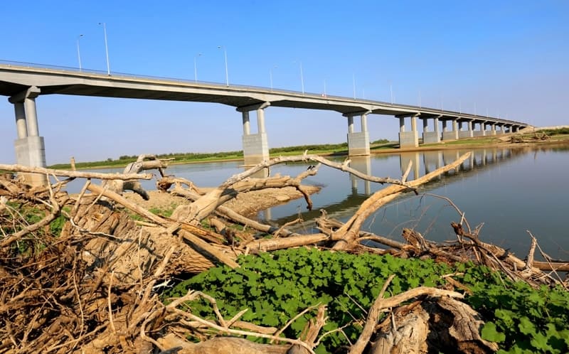
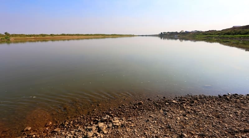
Ural River south of Uralsk.

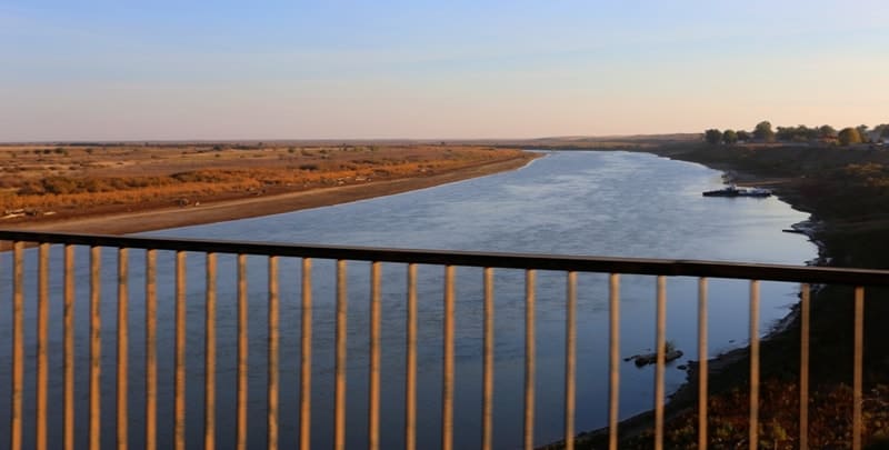
Rafting on the Ural River in Kazakhstan.
“Here the river flows, languishing with a premonition of merging with the green waves of the Caspian”
Academician N.P. Dubinin.
Walks on the Ural River in Kazakhstan.
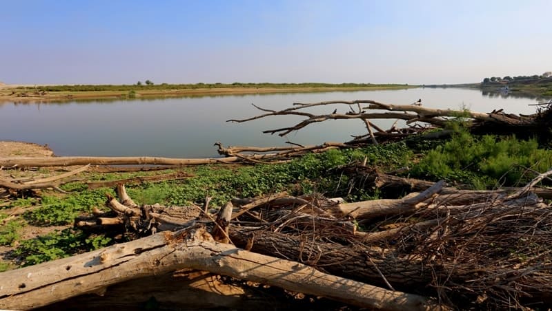
South of Uralsk, both banks of the Ural River are surrounded by a flat, semi-desert and desert plain with small depressions and saucers. The river valley stands out sharply against the bleak Caspian landscape. Its characteristic feature is a wide floodplain (from 2-3 to 8-10 km wide), bordered by narrow (1-3 km wide) strips of the lower floodplain terrace, which rises 8-11 m above the low-water mark.
Sometimes, the higher second and third terraces come right up to the river. High water levels in spring and early summer, coupled with relatively rapid currents, lead to erosion of the banks, which collapse into the riverbed in huge blocks after the water recedes.
Consequently, the Ural's channel constantly shifts, forming new branches, intermittent backwaters, oxbow lakes, and eriks. With the deposits of eroded rocks, the Ural rebuilds its floodplain, rising ever higher above the surrounding plain. Sometimes, after a high and rapid flood, the floodplain landscape seems to be reborn, the entire floodplain becoming covered in a layer of silt and sand, creating new ridges, channels, and islands. In places where the original bank erodes, high cliffs form, which, due to the river's natural wandering through the floodplain, alternate between the right and left banks.
The entire floodplain is characterized by extreme dissection, only becoming more tranquil near the mouth. On its way to the Caspian Sea, the Ural River crosses its ancient deltas, which formed during different stages of the Khvalyn Sea's retreat and left their mark on the character of the modern Ural Valley.
Four stages of the Khvalyn Sea's retreat are distinguished. The first time, the sea retreated 80-90 km from the Predsyrtovy Escarpment, forming the Kushumek Delta Fork; from this fork, the Kushum River, which flows out of the Ural, survived and developed.
The second time, the sea retreated another 200-250 km, forming the Bagyrday Delta, located north of the village of Antonova. This is where the second largest outflow of the Ural, the Bagyrday, begins. The third retreat pushed the sea to the Novobogatinskaya delta system, which begins with the Baksay outflow near the village of Dzholgaisai.
Besides the Baksay, the ancient branches of the Ural Delta - Ashisay, Sorochinka, and Chernaya Rechka on the right bank and Sokolok on the left—have survived. In 1957, the tributaries of the Novobogatinskaya system filled with water for the last time, discharging their flow into the sea.
Later, many of the branches were dammed. Pumping stations installed at the sources of these branches supply water for irrigating hayfields and watering livestock. For example, through the Baksay system, Ural water is diverted through a canal far west, almost to the mouth of the Volga.
The fourth retreat of the Caspian Sea formed the modern Ural Delta, south of Guryev. In spring, during high flood levels, some of the water rushes along the channels of the branches branching off from the Ural to the southwest. In the summer, this connection is interrupted, and most of the branches dry up.
The lower reaches of the Ralskaya floodplain are divided into three parts: the riverbed, central, and high. The riverbed floodplain typically rises 1.5-8 m above low water, the central floodplain by 3.5-8.5 m, and the high floodplain by 6-10 m. The average flood level in the floodplain is 5-6 m; towards the mouth, it decreases to 1-3 m.
In 1942, the highest flood occurred near the village of Kalmykova. The river level rose by 11 m, floodwaters inundated the floodplain terrace and penetrated through depressions into the interfluve spaces. A distinctive feature of the riverbed floodplain is the ridged relief formed by coastal ridges and channels. Its width does not exceed 300-400 meters, and it is composed of loose, layered sandy deposits, covered in depressions by silt deposits.
Strips along the riverbed are densely overgrown with shrubby willows: triandra, Russian, Caspian, and sheluga. South of Kushum, thickets of tamarisk appear. Herbaceous vegetation includes reed grass, awnless brome, licorice, and tarragon. In areas of the riverbed floodplain, distant from the river, groves of willow, black poplar, and white poplar are found.
Under the dense canopy of the trees, blackberries, woodruff, birthwort, and sedge grow. The undergrowth in these groves is sparse, represented by sparse bushes of buckthorn and rose hips. Blackthorn is found up to the latitude of Sakharnaya village.
The central floodplain has the most complex landscape structure. Here, hummocks and ridges alternate with lakes, oxbow lakes, and hollows. This part of the floodplain is composed of a layer of silty sand, sandy loam, loam, and clay interlayers.
The central floodplain is dominated by flooded grass meadows of creeping wheatgrass, awnless brome, sweet grass, and various licorice species. Reeds, rushes, and sedges grow in the depressions. Woody vegetation forms isolated groves and gallery groves along the lakes and consists of willow, black poplar, and white poplar.
Common elm descends from the north to the latitude of the village of Mergenev. The high floodplain of the Caspian Urals is completely treeless and largely steppe-like. It is characterized by meadow-steppe communities of wheatgrass, wormwood, tarragon, and Gmelin's limonium.
South of the village of Kalmykova, the floodplain's forest cover decreases sharply. The most common here are willow groves, thickets of willow triandra, and tamarisk. South of Inder, woody vegetation develops only in the riverine floodplain. Most of the floodplain within the Atyrau region is occupied by meadows consisting of reed, couch grass, reed grass, clubmoss, and licorice.
On the high floodplain, solonchak and solonetz areas with linden grass and solonchak wormwood appear. The main landscape feature of the Ural Valley is the floodplain forests, which extend far south into the extremely dry, hot climate. Just a hundred years ago, the forest vegetation in the Ural floodplain was much richer.
Oak, for example, was found as far north as Kalmykov (essentially on the border between desert and semi-desert). Today, the southernmost floodplain oak grove is located 35-40 km northeast of Uralsk. Birch has penetrated much further south.
According to G.S. Karelin, hornbeam was still present in the Ural floodplain in the middle of the last century. Today, this western species, extremely demanding of heat and moisture, grows nowhere west of the Donetsk Ridge. Humans primarily exterminated the most valuable hardwoods – oak and birch.
Therefore, it can be assumed that the modern elm-poplar and poplar forests of the Ural Valley grow in the place of cleared oak and birch forests. It's becoming clear that measures are now needed to preserve the last remnants of woody vegetation at the edge of their distribution - areas of the southernmost poplar forest in the northern Atyrau region, the white poplar forest near the village of Antonova, and the elm-poplar forest near the village of Mergeneva.
The blackthorn bush near Sakharnaya, the thickets of laburnum and spirea near Mergeneva, and the floodplain chilizhnik near the mouth of the Solyanka River need to be preserved as natural monuments, as do the northernmost tamarisk thickets, adorned with clematis, near Budarin and Kolovertin, halfway between Uralsk and Chapaev.
Some exemplary tamarisk thickets in their widespread distribution area also require protection. One such area has been taken under protection by the local forestry department near the village of Kulagina. A large number of floodplain lakes are scattered throughout the Lower Ural floodplain.
Among these, those containing rare relict species are particularly noteworthy as natural monuments. For example, the graceful aquatic fern Salvinia natans has survived in the floodplain lakes near Bobrov, Kzylzhar, and Yesensay, in the Chapaevsky and Taipaksky districts of the Ural region.
Until recently, the water chestnut, a relic of the Cretaceous period, grew in the lakes near Bobrov and Kolovertin.
Geographical coordinates of Ural River in Kazakhstan: N49°34'38 E51°35'18
Geographical coordinates of beginning of Ural River in Republic of Kazakhstan: N51°27'21 E52°33'54
Geographical coordinates of mouth of Ural River: N46°49'48 E51°31'46
Authority:
A.A. Chibilev. "The Ural River." Leningrad. Hydrometeoizdat, 1987.
Photos by:
Alexander Petrov.