


![]()
Вы здесь
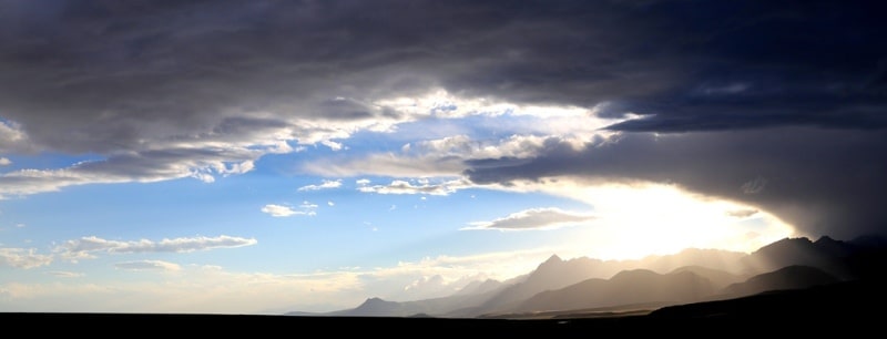
Ferghana Range.
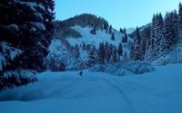
Kyrgyzstan road trip.
“If you do not travel, then you do not study life! And then you never know its meaning"
Tours across reserved places of Kyrgyzstan.
The Ferghana Range is located in the mountains of the Western Tien-Shan in Kyrgyzstan and Uzbekistan. The Ferghana Range separates the Ferghana Valley from the ridges of the Inner Tien-Shan. The length of the ridge is 225 kilometers.
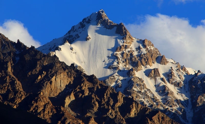
Altitude up to 4692 meters above sea level. To the northwest extends the Narbyttau ridge. The Babash-Ata ridge is adjacent to the west, with a length of about 100 kilometers and a height of up to 4427 meters above sea level.
In the east - the Kok-Irim-Too Range, about 50 kilometers long, up to 4351 meters above sea level. In the middle part, the Chaar-Tash ridge is adjacent to the ridge from the east, with a length of about 80 kilometers and a height of up to 4036 meters above sea level.
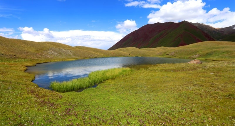
In the southeast, the continuation of the Ferghana Range is the Torugart-Too Range, about 100 kilometers long and up to 5108 meters above sea level, curving in an arc over the basin of Chatyr-Köl Lake. Where Chatkal ridge connects with Talas, between the upper reaches of the Karasu and Karakuldzh rivers is the northernmost point of the mountain environment of the Ferghana Valley.
Atoynaksky and its continuation, the Ferghana ranges, depart from this point in a southeast direction. Essentially, this is one mountain range that was shared by the stormy Naryn. In the gorge passes the Bishkek-Osh road.
The northeastern slope is steep and short, the vertical drop is from 2000 to 3200 meters above sea level, the south-western slope is long and gentle, the vertical drop from 1000 to 3200 meters above sea level, is strongly dissected by tributaries of the Karadarya River.
In the southeastern part of the ridge there are more than 150 glaciers with a total area of about 110 square kilometers, in the rest of the ridge, the area of glaciation is about 15 kilometers square. The snow line is located at an altitude of 4000 to 4100 meters above sea level.
The north-eastern slopes are covered with mountain meadow-steppe vegetation, subalpine and alpine meadows above 2500 meters above sea level. On the southwestern slopes, mountain semi-desert vegetation is developed, at an altitude of 1600 - 2800 meters above sea level - relict forests of walnuts, wild apple trees, pears, cherry plum, etc.
At altitudes from 2500 to 3100 meters above sea level, spruce and juniper forests are found in the gorges. Above 3600 meters above sea level - nival landscapes. Arslanbob walnut forests are famous. The generosity of nature is amazing.
On adyrs at an altitude of 1000 - 1200 meters above sea level - semi-desert vegetation. Of particular value are the pistachio shrubs. At altitudes of 1200 - 1800 meters above sea level, a belt of deciduous forests extends: walnut, maple, apple tree, cherry plum, pear, hawthorn, barberry, currant, rose hip.
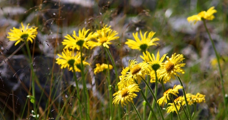
Open meadows are very picturesque; there are many cereals, mallow, eremurus, sage and etheriferous bloom, giving great food to bees. Above the borders of this zone, an area of coniferous forests and high mountain summer pastures begins in subalpine meadows.
The forests of the Tien-Shan spruce leave an unforgettable impression. Its slender trunks, like cypresses, reach 40 - 50 meters and stand out clearly against the background of rocks and snow peaks. On the banks of lush rivers sheltered a birch.
This area extends to an altitude of 2500 - 2700 meters above sea level. Walnut forests - the natural wealth of Kyrgyzstan - are protected by law. Territories of forest cottages are declared state reserves and are run by forestries that protect vegetation and wildlife in forests.
Walnut forests in the mountains of southern Kyrgyzstan occupy an area of 30,000 ha. In the tracts Dashman, Gava and Arslanbob, forests are especially dense. Crowns of trees intertwine, a serpentine winding path meanders, as if in a green tunnel, the sun hardly breaks through the foliage.
The air is full of mild walnut aroma. There is silence, broken in some places by the noise of a lush river, waterfall or the murmur of a brook. On the sides of the trail, between the tree trunks, thick grass rises to 2 meters.
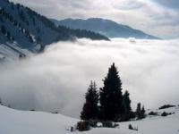
On the open lawns, bushes of currant, barberry, rose hip, and blackberries along the ravines.The Ferghana Range, closing the valley in the east, serves as a powerful barrier to the vapors rising from the fields of Ferghana.
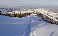
Cooling in the lower layers of the atmosphere, they fall in heavy rainfall, the soil is well moistened, and favorable conditions for the life of the plant world are created. In the Ferghana Range, there are more than 20 passes of various difficulty categories.
The easiest crossing paths are: Manchak passes, 3,300 meters above sea level, Kizylsu, 3,075 meters above sea level, Keng-Kol, 3,134 meters above sea level, Kumyr-Bel, 3,111 meters above sea level. A traverse of a significant part of the Ferghana Range is possible.
The starting point of most routes is the city of Osh. The main approaches to the valleys of the Tar, Kara-Kuldzha, Iasi, Kara-Unkyur rivers. From the village of Kazarman to the north-east to the Ferghana ridge leads the valley of the Arpa River.
An approach to the Narbyttau ridge from the north along the Kara-Suu river valley from Karakul or Toktogul.
Authoritye:
"On the native expanses" G.M. Vernadsky, Moscow, "Physical Culture and Sports", 1972. http://vladsc.narod.ru/library/enc_tur/a.htm#a0
Photos by
Sergei Mikhalkov, Alexander Petrov, Almaty city.