Вы здесь
Lake Mаket Kol in Dzhungarskiy Alatau.

ravel and Tours in Kazakhstan.
"Traveling lengthens our lives."
Kazakhstan wonders tours.
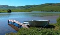
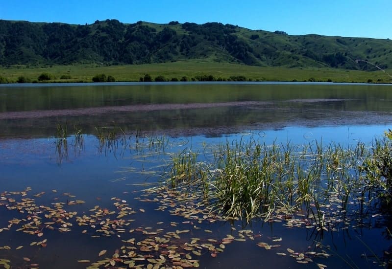
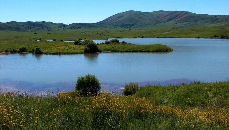
The flowing lake Maket Kol is located at an altitude of 1093 meters above sea level, located in a small intermountain depression formed by the southeastern slopes of the Shatyrbai ridge and the northern slopes of the Dzhungar Alatau, in the northern part of the Mynbulak valley, in the bed of the Maly Zhalatansh river in the Sarkand district of the Zhetysu region.
The Mynbulak valley is located in a small intermountain depression in the northern part in a natural depression, where Lake Maket Kol is located, this is one of the picturesque places in the northern foothills of the Dzhungar Alatau.
In the northern part of the lake there is an embankment dam that blocked the sources of the Maly Zhalanash River. From the west, two swampy channels of small streams with a length of 2.2 kilometers flow into the lake, another swampy stream flows into the lake from the northeast side with a length of 1.7 kilometers.
The length of the lake from southwest to northeast is 706 meters, the greatest width in the central part is 197 meters. The area of the lake reaches 0.11 square kilometers, the length of the coastline is 2.66 kilometers. In the eastern part of the lake there is a house with buildings.
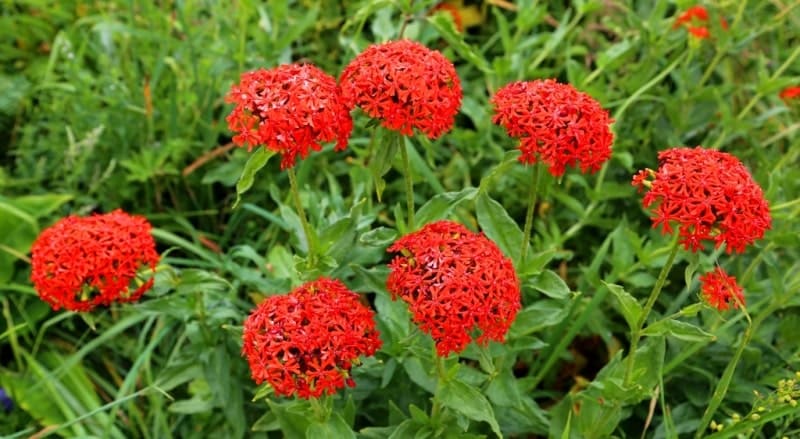
In the southwestern part of the lake grows the rare Lychnis, a beautiful plant with red flowers, which gives the lake a unique color against the backdrop of the snowy peaks of the Dzhungar Alatau.
Geographic coordinates of Lake Maket kol: N45 ° 28'09.27 "E80 ° 25'51.78"


Authoirty and photos by
Alexander Petrov.


