Вы здесь
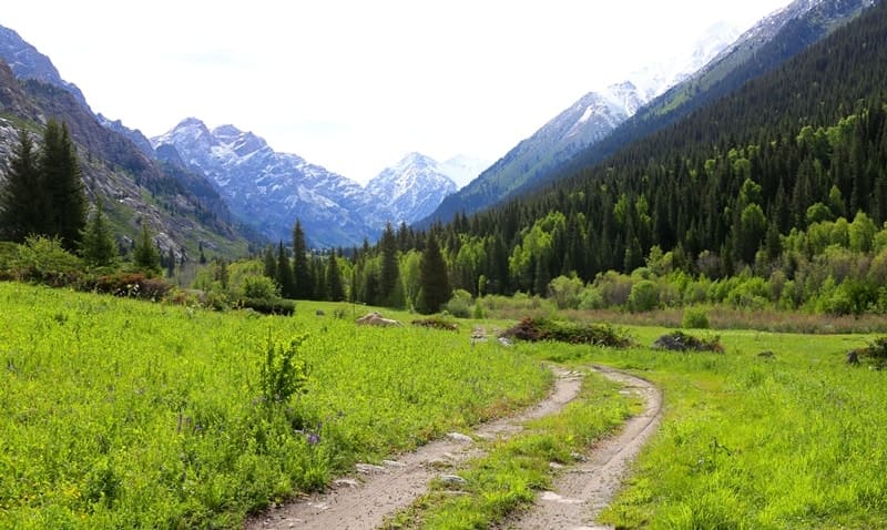
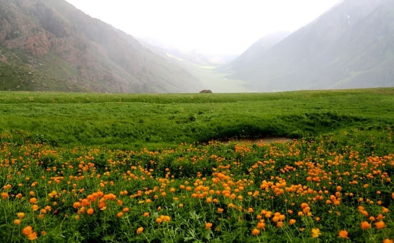
Kora gorge Dzungarskiy Alatau.
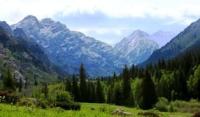
Pedestrian tour on gorges Dzungarskiy Alatau.
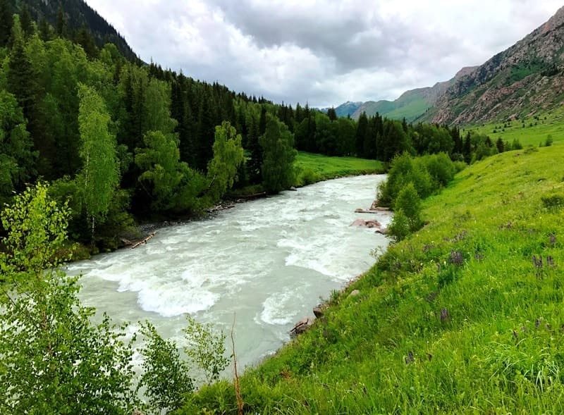
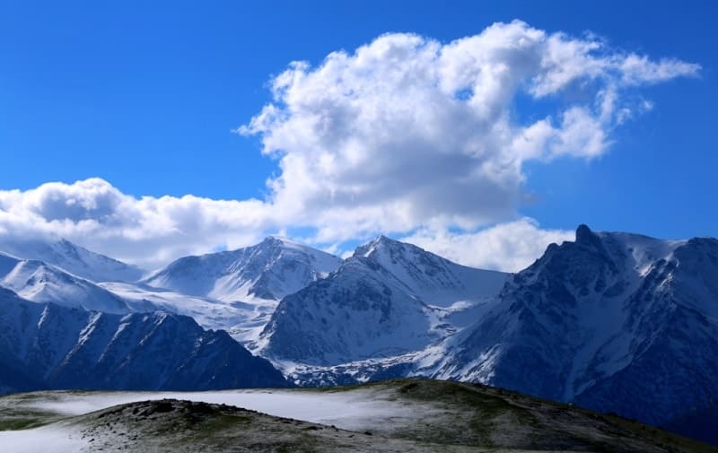
"The view of the Kora River valley was delightful... The height of the ridge I was following seemed to me to be at least 1,500 meters higher than the Kopal plateau, but it towered even higher above the deep Kora valley. The wide and full-flowing river, which, as they said, is very difficult, and sometimes completely impossible to ford, seems from above like a narrow silver ribbon, which, however, despite its distance, fills the air with the wild roar of its foamy waves jumping over the rocks. The foam and spray of this river have that especially milky color that is characteristic of rivers generated by glaciers. Beyond the river, mountains rose, at first covered with Siberian fir, then with bushes, then naked and covered with alpine grasses, finally disappearing under a mantle of snow."
P. P. Semenov-Tyan-Shansky. "Journey to the Tien Shan". 1856 - 1857.
Trip on jeeps to gorge Kora in Dzungarskiy Alatau.
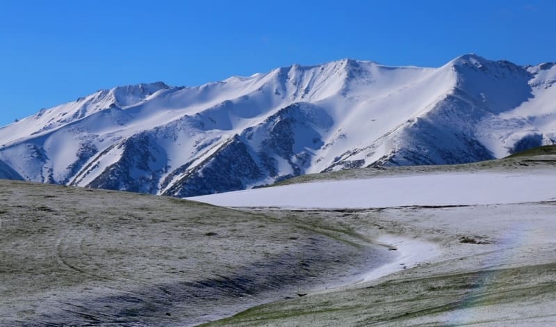
Upper boundary of Kora Gorge is located at an altitude of 3020 (Voennykh Topographov Peak) and 3610 (Sapozhnikov Peak) meters above sea level, lower boundary is located on eastern side of town of Tekela at an altitude of 1099 meters above sea level, is located in Eskeldinsky district and partly on administrative territory subordinate to town of Tekeli in Zhetysu region.
The Kora Gorge extends for 75 kilometers from west to east. Its starting point is considered to be the pumping station behind the city of Tekeli, and it ends at the largest glaciers of the Dzungarian Alatau: Bezsonov, located on the western side, and Tronov, facing the north. In its upper reaches, the Kora River receives several tributaries: from the south, Shegirbulak, Kaskabulak, the small Tuyte River and the Sadyrtas River flow into it.
Among the largest tributaries of the Kora, the Burkhan-Bulak River stands out. In the lower reaches, another left, southern tributary, the Asylbay River, joins the river. Previously, before 2010, a road ran along the Kora valley from Tekeli to the Burkhan-Bulak waterfall.
However, after heavy rains, the road was destroyed and was never restored. Instead, an alternative route was opened from the village of Kapal, which passes through the northern pass connecting the valley of Lake Alakol with the Kora gorge.
Geographical coordinates of Kora gorge: N44°58'54 E78°58'18
Authority and photos by:
Alexander Petrov.


