Вы здесь
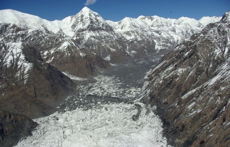
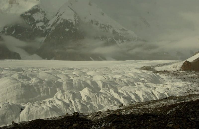
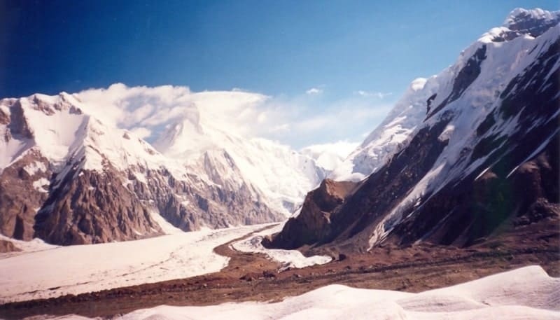
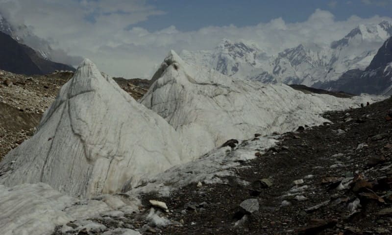
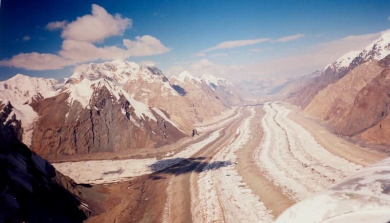
Southern Inylchek glacier.
Luxury travellers in Kyrgyzstan.
“A person learns through defeats, not victories, as it may seem. To correctly assess the situation, you need to know your limit and it can only be determined in practice. I have failed on thirteen 8000m peaks and I want to be remembered as the climber who has failed the most. I wasn't interested in records. If I had not failed at Dhaulagiri, Makalu and Lhotse at one time, I would have died long ago. I love challenges, but I know how to retreat in time."
Reinhold Messner.
Travel preferences in Kyrgyzstan.
South Inylchek glacier (South Engilchek Kyrgyzstan Tushtuk Enilchek) is located at following heights: beginning is southeastern cirque of glacier - Nagela peak with a height of 6565, Rapasova peak (Bezymyannaya) with a height of 6814, nameless height 6746, Military Topographers peak 6873, Vysoky pass 5730 and peak Aktau is 6181 meters above sea level, end of glacier (source of Inylchek River) at an altitude of 2978 meters above sea level, located in Ak-Su district in southeast of Issyk-Kul region.
Southern Inylchek, a valley, tree-like glacier, is located in the mountains of the Central Tien Shan, in the upper reaches of the Inylchek River, a left tributary of the Saryjaz River. The sources of the glacier begin from the state border between the Kyrgyz Republic and the People's Republic of China, from the southeastern part of the Meridional Ridge.
In the upper reaches, the glacier is located on the eastern and northern sides of the Aktau ridge. On the southern side, the glacier borders on the northern spurs of the Kokshaal-Too ridge and the northern slopes of the Inylchek-Too ridge. From the north, the glacier borders the central part of the southern slopes of the Saryjaz ridge and the southern slopes of the Tengri-Too ridge.
The glacier flows north for several kilometers and then turns sharply to the west. Its powerful left tributaries, located in the northern spurs of the Kokshaal-Too ridge, have their own names: Zvezdochka, Dikiy, Proletarsky Tourist, Komsomolets (from east to west).
The length of the South Inylchek glacier is 62 kilometers (11.2021) from an elevation of 6747 meters above sea level, which is located south of Rapasova Peak at 6814 meters above sea level. The glacier's area reaches 567.2 square kilometers - the largest glacier in the Tien-Shan and the second largest mountain glacier in Central Asia after the Fedchenko glacier in the Pmir.
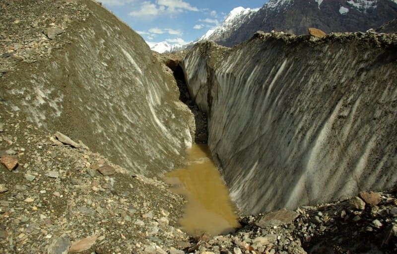
The glacier originates from several huge cirque-shaped firn pools. The glacier tongue is 43.2 kilometers long with an average width of 2.2 kilometers and descends to 2978 meters above sea level with an average surface slope of 2°. The lower 14 kilometers of the glacier's end are under a moraine.
The ice thickness in this part of the glacier is 150 - 200 meters. The South Inylchek glacier system consists of 78 glaciers of tributaries of different orders.
History of South Inylchek glacier.
South Inylchek glacier was discovered in 1876 by an expedition of the Russian Geographical Society. Subsequently, it was visited many times by scientists and climbers, who noted the continuous degradation of the glacier, which was expressed in lowering the surface and cutting off separate tributaries from the main trunk of the glacier.
The largest of them flow down from the northern slopes of the Kakshaal-Too ridge. These are complex valley glaciers: Zvezdochka, with an area of 87.4 square kilometers, Dikiy, with an area of 31.9 square kilometers, Proletarsky Tourist, with an area of 47.3 square kilometers, Komsomolsky with an area of 68.1 square kilometers, Shokalsky with an area of 24.2 square kilometers and other.
On the northern side of the Tengri-Too ridge, the Demchenko glacier originates, which connects with the South Inylchek glacier in the upper reaches.
Geographic coordinates of South Inylchek glacier: N42°09'16 E79°58'28


Authority:
Alexander Petrov.
Photos by:
Alexander Petrov, V. Serbenko


