Вы здесь
Lake Bilkol.


Sights of Lake Bilikol.
“Nature is good!
They look
The eyes of the lakes
In the eyelashes of reeds"
Ilyas Dzhansugurov. "Pictures of Dzhetysu." 1925.
A trip to Lake Bilkol.
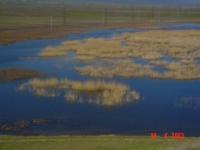
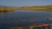
The fresh lake Bilkol is located on the territory of the Talas and Dzhuvali districts of the Zhambyl region at the northern foot of the Karatau ridge. It is located at an altitude of 438.6 meters above sea level, an area of 86.5 kilometers square.
A length the Bilikol lake of 18.5 kilometers, a width of 7.3 kilometers, a coastline of 53 kilometers, an average depth of 2.1 meters (the largest depth is 4.5 meters) , the volume of water mass is 182.6 million cubic meters, the catchment area is 5170 kilometers.
The hollow is shallow, the bottom is even, clean, silted off the coast. Silt gray, up to 0.5 meters. The shores of the lake are open, gentle, steep in places in the northern and western parts. The southern shore of Lake Bilikol is pebble, the rest are composed of loam, sandy loam, sand.
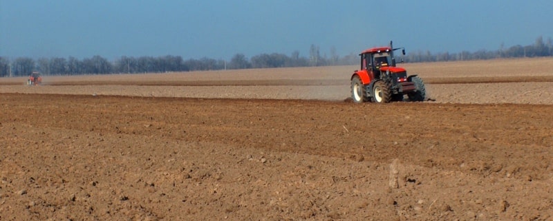
The catchment area in the south and west is mountainous, the rest is hilly, part of it is plowed, the other, overgrown with feather grass, fescue, white wormwood, and hodgepodge vegetation, is used for grazing. It flows into the lake from the southeast, and the Assa River flows from it in the north.
The Bilikol Lake is fed by the river runoff of the Assa River, snowmelt and precipitation. High water levels are observed in March and April, low - in September. The water is brownish and yellow in color, transparency from 0.2 to 1.5 meters.
The dace, tench, bream, marinka, gudgeon, common char, catfish, pike perch and other fish are found in the lake; geese, waders, ducks, gulls, herons nest along the banks; in the reed thicket - muskrat.

Authority:
Books: “The Nature of the Trans-Ili Alatau”, M.Zh. Zhandaev, ed. Kazakhstan, Alma-Ata, 1978 "Across the Northern Tien Shan," Explanatory Dictionary of Geographical Names and Terms. " - Almaty, 2006. Murzaev EM. Geography in the names. - M., 1982
Photos
Alexander Petrov.


