Вы здесь
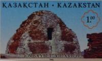
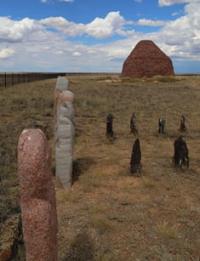
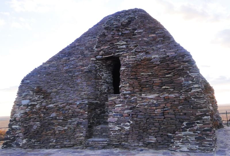
Mausoleum of Dombauyl.
Tours of the mausoleums in of Ulytau.
«Memory is the treasure house of the mind wherein the monuments thereof are kept and preserved»
Thomas Fuller.
Historical sights Ulytau.
Dombauyl Mausoleum is located at an altitude of 403 meters above sea level, in western part of ancient necropolis of Dambaul, 710 meters from left (eastern) bank of Kara-Kengir River, 22.1 kilometers south of village of Malshybai, 39.5 kilometers northeast of town of Satpayev, 53.9 kilometers northwest of village of Terekty, north of Kyzylzhal Mountains, in Ulytau district of region of same name.
Research of Dombauyl mausoleum.
The first written mention of the Dombauyl mausoleum is found in Ch. Ch. Valikhanov's article "On the Kyrgyz-Keisak graves (mols) and antiquities in general." In 1946, the Central Kazakhstan Archaeological Expedition of the Academy of Sciences of the Kazakh SSR (headed by A.Kh. Margulan) together with representatives of the Department of Architecture under the Council of Ministers of the Kazakh SSR, architects M.B. Levinson and G.G. Gerasimov, examined the mausoleum.
In 1974, restoration work was carried out: the corners of the building and the entrance opening were restored. The floor was laid with stone tiles, and blind areas were made. The chief architect of the restoration project was M.A. Mamanbaev. In 1973, an expedition of the Ministry of Culture of the Kazakh SSR carried out measurements, photographic recording and topographic survey of the mausoleum (M.A. Mamanbaev, M.K. Sembin, M.S. Nurkabaev).
Monument of history and architecture of republican significance (Resolution of the Council of Ministers of the Kazakh SSR No. 133 of 17.02.1949).
Description of Dombauyl Mausoleum.
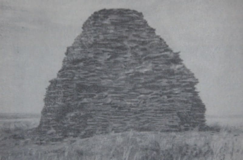
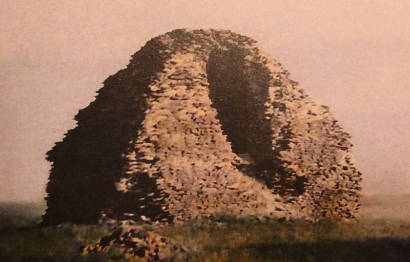
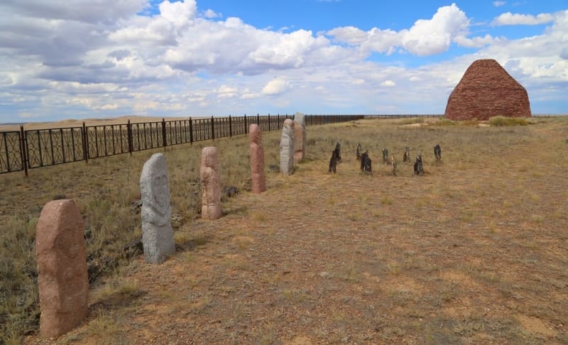
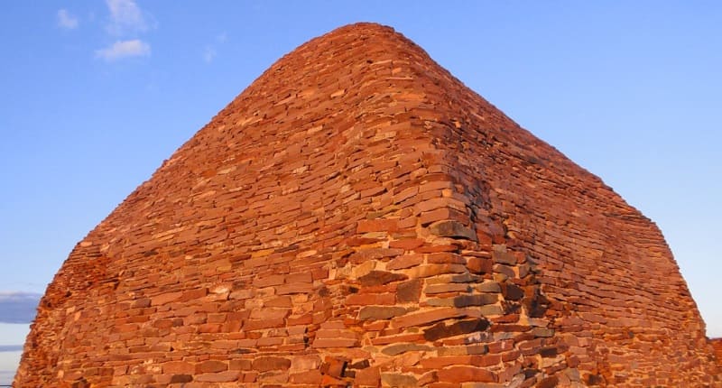
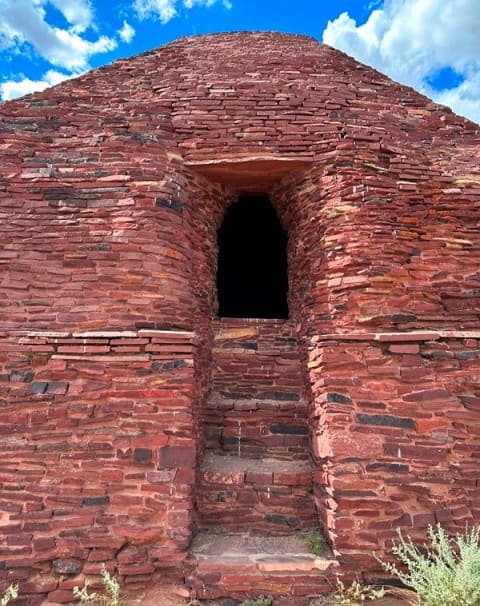
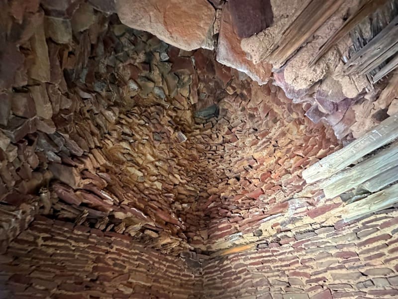
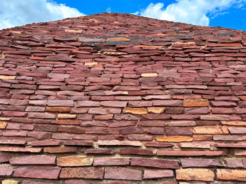
The author, builder and history of creation are unknown. One of the largest stone structures in Kazakhstan, built in the pre-Islamic period, VIII - IX centuries. The mausoleum is built of flagstone on clay mortar. The plan of the interior is trapezoidal. The entrance is oriented to the east.
The total height of the cone-shaped building is 6 meters. The thickness of the walls reaches 2.5 meters. The dimensions in plan along the outer perimeter are 8.5 x 7.5 meters. The mausoleum is a high cone-shaped structure on a base close to a square.
The entrance opening is raised from the ground level by 2 meters, to which five high steps of 37 centimeters each lead. The Kazakhs called stone tombstones like Dombauyl "uytasy", "dynas". They are widespread in Central Kazakhstan, especially in the valley of the Torgai River.
Geographic coordinates of Dombaul mausoleum: N48°11'36 E67°50'41.

Authority:
"Archaeological map of Kazakhstan." Alma-Ata, 1960. No. 937, table III, 16.21. Akishev K.A. "Antiquities of Northern Kazakhstan." “Proceedings of the Institute of History, Archeology and Ethnography” T.7. Archeology. Alma-Ata, 1959. p. 9, fig. 4-5, tab. I. Margulan A.Kh. "The remains of settled settlements in Central Kazakhstan." “Archaeological Monuments of Kazakhstan” Alma-Ata, 1978. p. 19. "Code of historical and cultural monuments of the Republic of Kazakhstan", "Akmola region." Almaty, Aruna, 2009 .-- 568 p. Smailov Zh. E. “Monuments of archeology of Western Sarah-Arka”. "Medieval settlements and settlements." Zhezkazgan, 1996.111 s. Aruna. Medoev A.G.
Photos by:
Alexander Petrov.


