Вы здесь
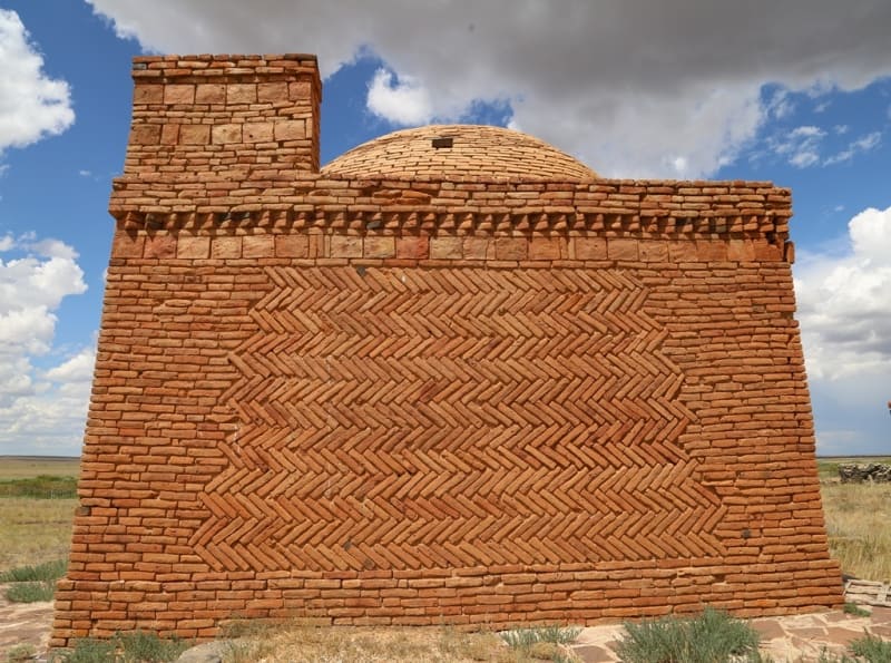
Mausoleum of Ketebay in Ulytau.
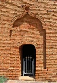
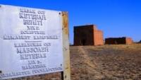
Discover Tours in Ulytau Kazakhstan.
"He who swims for the fleece through the abysses of wild waters
And sows dragon's teeth into the earth - soon
He will see in the furrows not winter crops, but the shoots
Of fighting giants... Woe!"
Maximilian Voloshin. February 3, 1915.
Guided Tours in Ulytau Kazakhstan.
Ketebay Mausoleum (XIXth century) is located at an altitude of 399 meters above sea level, is located on ancient necropolis of Koptam, 12.1 kilometers southeast of village of Malshybay, 117 meters from left bank of Kara-Kengir River, 5.2 kilometers south and slightly west of mouth of Sary-Kengir River into Kara-Kengir River, 57.4 kilometers northeast of town of Satpayev, 50.5 kilometers northwest of village of Terekty in Ulytau district of region of the same name.
History of study of Ketebay Mausoleum.
In the summer of 1975, the monument was examined by an expedition of the Ministry of Culture of the Kazakh SSR (M. Mamanbayev, M. Nurkabayev, M. Sembin).
Description of Ketebay Mausoleum.
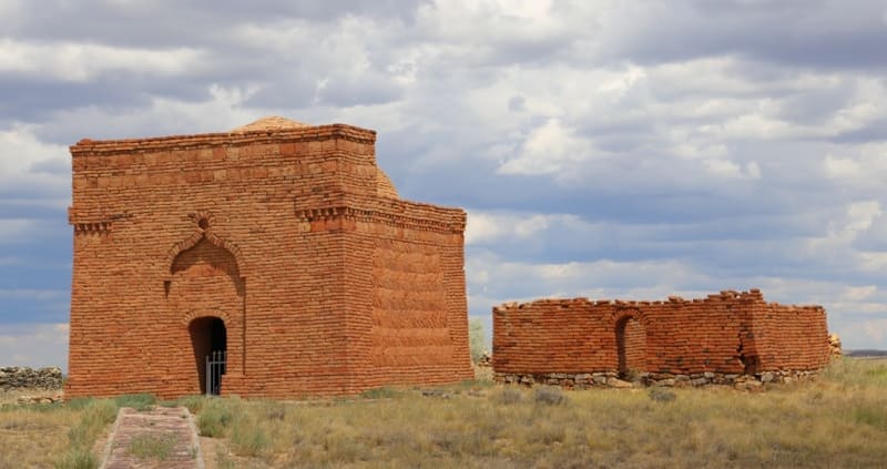
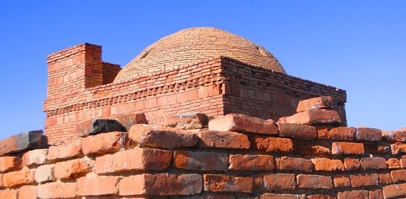
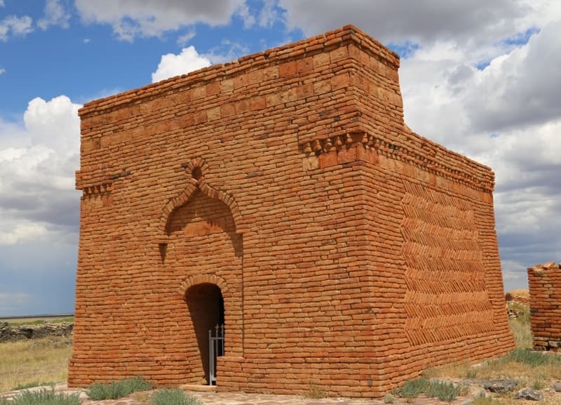
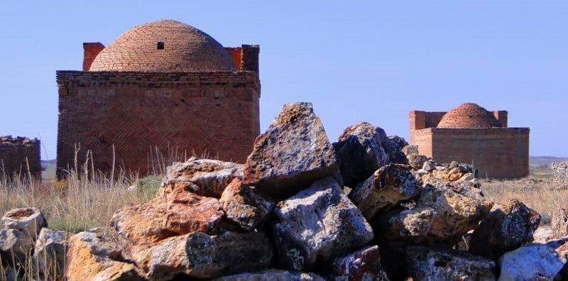
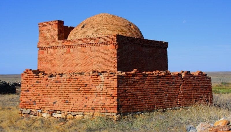
The author, builder and history of creation are unknown. Portal-dome structure. The mausoleum is built of adobe bricks and faced with baked bricks. Dimensions in plan: Dimensions in plan along the outer perimeter are 6.55 x 6.35 meters. The height of the portal part is 5.55 meters, the height of the mausoleum is 20 meters.
The dome is collapsed. The entrance opening is oriented to the southwest. It is part of the Labak monument complex. The Kazakh batyr, Ketebay Zholayuly, is buried in the mausoleum. When transitioning from a square plan to a circle of the dome, corner niches are used, the sinuses of which are filled with brick consoles.
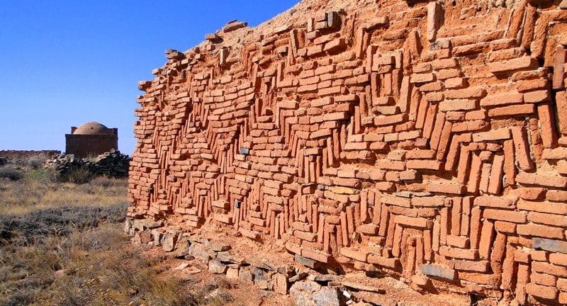
The entrance opening is covered with a box vault, the arch of a shallow niche of the entrance reception is completed with a round three-quarter medallion. The remaining facades have a decor in the form of a figured carpet brickwork in a herringbone pattern.
Ketebay's kumbez was recognized as one of the best examples of 19th-century mausoleums in Central Kazakhstan. Monument of history and architecture of republican significance (Resolution of the Council of Ministers of the Kazakh SSR No. 133 of 17.02.1949).
In 1982, it was included in the list of state historical and cultural monuments of republican significance.
Geographic coordinates of Ketebay Mausoleum: N48°19'28 E67°59'05

Authority:
"Archaeological map of Kazakhstan." Alma-Ata, 1960. No. 937, table III, 16.21. Akishev K.A. "Antiquities of Northern Kazakhstan." “Proceedings of the Institute of History, Archeology and Ethnography” T.7. Archeology. Alma-Ata, 1959. p. 9, fig. 4-5, tab. I. Margulan A.Kh. "The remains of settled settlements in Central Kazakhstan." "Medieval hillforts and settlements." Zhezkazgan, 1996.111 s. www. tengrifund.ru
Photos by:
Alexander Petrov.


