







Вы здесь
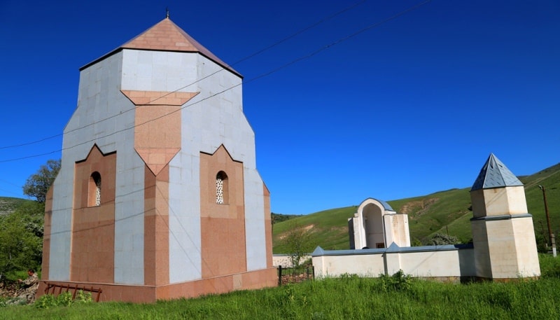
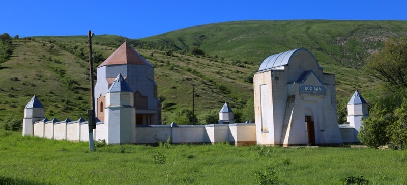
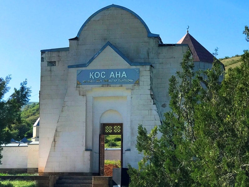
Mausoleum of Kos Ana.
Tours from Shymkent to Aktobe.
“Let the heart feed on love,
The clothes of happiness will hide the body.
By the power of love I want to rise
And a bird down on a twig of consciousness”
Hikmet Khoja Ahmed Yasavi.
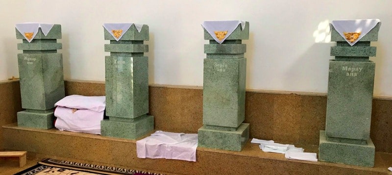
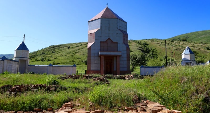
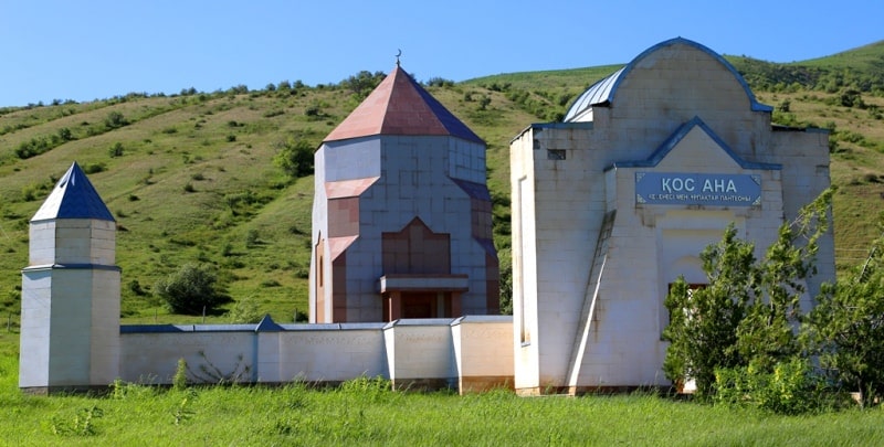
Excursion to mausoleum of Kos Ana.
Kos Ana (Zerip Slandy) complex is situated at an elevation of 837 meters above sea level on a river terrace above the floodplain, 156 meters from the left bank of the Bala-Bugun River. It lies 5.9 km east-northeast of the village of Baidibek Ata, positioned between the western part of the Karatau Mountains and the northeastern section of the Boroldai Ridge, and northeast of the Aktau Ridge, within the Baidibek District of the Turkistan Region.
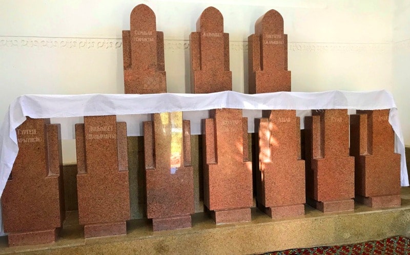
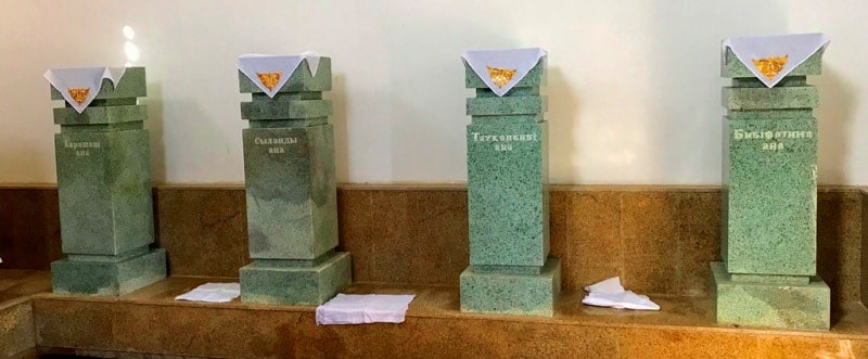
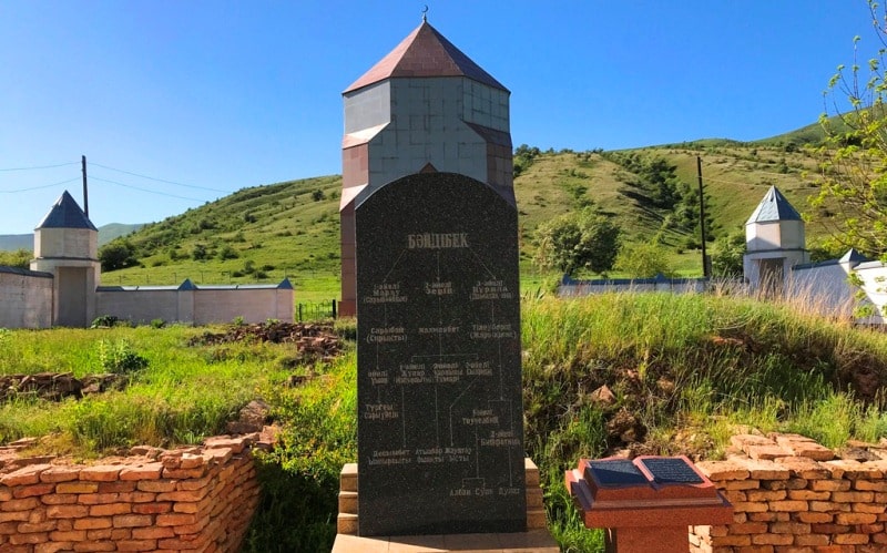
The story of the discovery of this new monumental medieval structure in the Baidibek district dates back to the late 1990s. G. S. Sadyrbaev reported the discovery of the remains of a structure in the upper reaches of the Bala-Bugun River. According to local legend, the daughter of Baidibek and his son-in-law, Zerip-Slandy, were buried here.
A joint archaeological team - comprising specialists from the Regional Department of Culture (led by A. N. Grishchenko) and the South Kazakhstan Regional Museum of History and Local Lore - began investigating the structure in the spring of 2001.
The construction utilized square fired bricks (measuring 25x25x5 cm or 25x25x6 cm), a building material that came into use in Central Asia in the Xth century. The rectangular main structure is enclosed within a perimeter wall of the same shape, featuring three-quarter-round towers up to 1.6 meters in diameter at the corners.
The dimensions of the rectangular enclosure, including the three-quarter-round towers, are 22.31 (22.1) by 18.8 meters. Overall, the layout of the five chambers - situated along the axes of the structure and interconnected by arched passageways - forms a cross-shaped composition.
Remains of a rectangular hearth measuring 1.1x0.6 meters were recorded, along with fragments of ceramic vessels dating from the mid-12th to early 13th centuries and the bones of domestic animals (sheep and cattle). Direct parallels regarding the structural elements - as well as the volumetric and spatial layout - of the excavated building have been noted in numerous reports on early structures identified and studied by researchers of urban planning and architectural monuments in southern Kazakhstan.
The building undoubtedly served as a Muslim mosque and functioned either as a *ribat* or as a *khanqah* belonging to a Sufi brotherhood or order of which no historical record has survived. Based on the fact that the building shares the same orientation as the *khanqah* of Ahmed Yasawi, the author leans toward the view that the excavated architectural remains belong to the type of structures characteristic of dervish community retreats known as "khanqahs"*.
Geographic coordinates of Kos Ana (Zerip Slandy) archaeological complex: N43°00'03 E69°59'48.
Authority:
D. A. Taleev. "Code of monuments of the South Kazakhstan region." Architectural and archaeological heritage of the South Kazakhstan region. In the framework of the regional program "Cultural Heritage".
http://www.farsah.kz
Photos by:
Alexander Petrov.