


![]()
Вы здесь
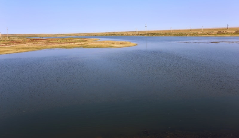
Irgiz River.
Birding Tours Aktybinsk Region.
“Ulu-Irgiz emerges from the Karaadyr Mountains and flows first to the southeast, then to the south, finally, again turning to the southeast, it flows into Turgai, not far from the confluence of this latter into Lake Aksakal. We are talking here about the main Irghiz, and not about small rivers, to which the Kirghiz also give the name Irghiz and of which they number several. Many people confuse Ulu-Irgiz with Chit-Irgiz, flowing from the Mugojar mountains and connecting with the previous one. Ulu-Irgiz is very narrow, and although it overflows far in the spring, at the end of summer, like many neighboring rivers, it stops flowing continuously and turns into a series of lakes. Its banks are for the most part very steep and high. Destroyed sea shells were seen in the layers of these shores, and weak shrubs and lakes were found on the surface of the shores. In addition to fish, there are many turtles in the water. There are quite salty springs along the banks of the Irgiz, which is why its water also has a salty taste.”
Levshin A.I. “Description of the Kyrgyz-Cossack or Kyrgyz-Kaisak mountains and steppes.” 1833.
Tours and travels in Aktybinsk Region.
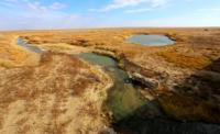
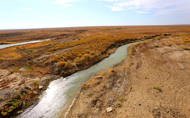
The Irgiz River (Kyrgyz, Kazakh, Irgyz) is a river in the Aktobe region of the Republic of Kazakhstan, the right tributary of Turgai. The length of the Irgiz River is 593 km, the basin area is about 32,000 square kilometers.
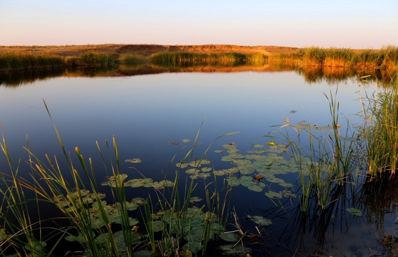
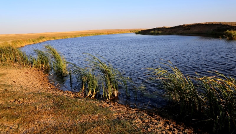
The source of Irgiz is located on the eastern slopes of the Mugalzhar mountains. The width of the channel is 80 - 100 m, the river valley - from 300 m to 2 km; coast height - 5 - 8 m. In summer (especially in the lower reaches), the water flow in the river is significantly reduced; in a number of sections, the river breaks up into separate stretches.
In the upper reaches, the water is fresh, in the lower reaches brackish. The food of the river is mostly snow. The average annual water flow at the mouth is about 8 m³ / s. In April, there is a flood with an increase of 4 – 5 m relative to normal. Low-water levels are observed in July - October.
It freezes in mid-November (ice thickness reaches 1 m by the end of winter), it opens in early April. The river is used for water supply to settlements located on its banks, as well as for watering livestock, watering gardens and estuary irrigation.


Authority:
https://ru.wikipedia.org
Photos by:
Alexander Petrov.