Вы здесь
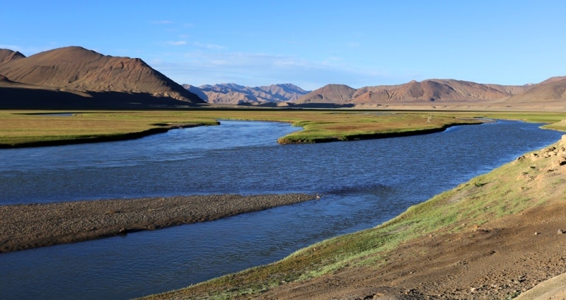
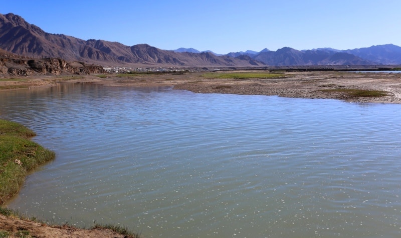
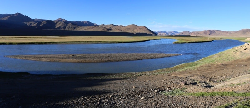
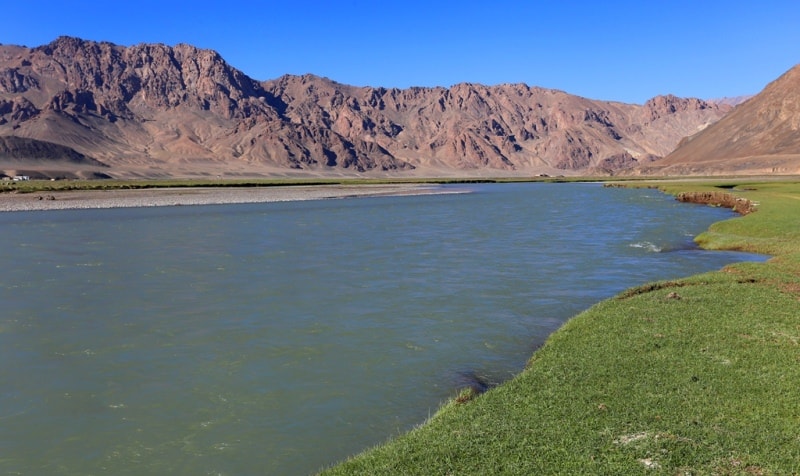
Murghab river on Pamir.
Tours along Silk Road of Tajikistan and Central Asia.
“What is that feeling when you're driving away from people and they recede on the plain till you see their specks dispersing? - it's the too-huge world vaulting us, and it's good-bye. But we lean forward to the next crazy venture beneath the skies”
Jack Kerouac, «On the Road».
Tours to valley Murghab on Pamir.
The Murghab River flows through the territory of the Murghab district of the Gorno-Badhashan Autonomous Region for 115 kilometers. The total length of the river is 538 kilometers, the basin area is 24,700 square kilometers.
It originates under the name Aksu in the southeastern Pamirs. The Aksu River flows out of the mountain lake Chakmaktyn, located in the extreme north-east of Afghanistan in the Badakhshan province. The Aksu river flows through the territory of Afghanistan for about 30 kilometers in a northeastern direction, then in an eastern direction, along the state border of Afghanistan and Tajikistan.
Then, it goes around the eastern end of the Wakhan ridge and turns to the north-west, receiving the left tributary of the Sulistyk. Soon the Aksu river turns to the west, receives the right tributary Akbaital near the village of Konakurgan and receives the name Murghab. Near the village of Murghab, the Pamir Highway crosses.
It goes around the Pshart ridge and Muzkol from the south and at an altitude of 3255, 7 meters above sea level, flows into the dammed Sarez lake, which arose as a result of the catastrophic blocking of the Murghab channel that occurred on February 18 (March 3) 1911.
It is filtered through the body of the Usoi dam, turns to the northwest, receives the right tributary of the Gudar and receives the name Bartang. Soon the Bartang River turns to the southwest, bends around the Yazgulem ridge from the south and flows into the Pyanj east of the Rushan village on the border with Afghanistan.
Authority:
https://ru.wikipedia.org
Photos by
Alexander Petrov.


