Вы здесь
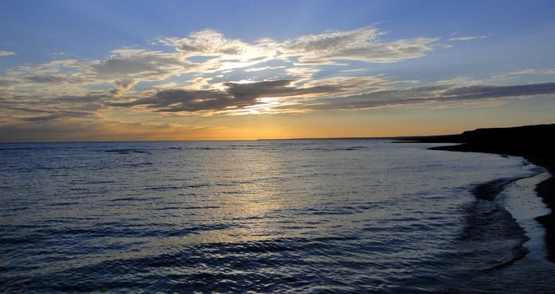
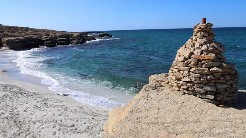
Mangyshlak Bay.

Tours to Kazakhstan.
“I imperceptibly fell in love
Your harsh edges.
A flock of swans have made us akin.
Here is my life and youth.
I discovered your beauty -
A bird's ball in the sunshine
And the Caspian, roaring menacingly,
Gray and Foaming Shaft"
Raisa Yasonovna Grigorashvili. 22.04.1994.
Boat trip on Caspian Sea in Kazakhstan.
Mangyshlak Bay - located in the northeastern part of the Caspian Sea, located on the eastern shore of the Caspian Sea, between the western coast of the Buzachi peninsula and the northern coast of the Tyub-Karagan peninsula). From the northwest it is bounded by the Seal Islands group in the Mangistau and Atyrau regions of Kazakhstan.
The top of the Mangyshlak Bay is called the Kochak Bay, to the west of the Kochak Bay is the Sarytash Bay. In the western part of the bay there is a group of Seal Islands. The dimensions of the bay: length from east to west - about 37 kilometers, width from south to north at the entrance - about 31 kilometers.
The depth of the Mangyshlak Bay is 9 - 10 and 12 - 14 meters. The eastern shore of the Mangyshlak Bay is low and bordered by dry land, the southern one is an elevated plateau cut by ravines, gullies, stream beds, has a stepped steep slope towards the sea. Here, hills and mountains come close to the shore. Vegetation is sparse. It usually freezes in winter.
Geographical coordinates of Mangyshlak Bay: N44°41'21.47" E51°03'14.68"


Authority:
Wikipedia.
Photos by
Alexander Petrov.


