Вы здесь
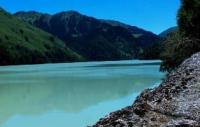
Lake Upper Zhasyl-Kol.

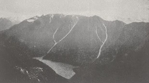
"Finally we reached a sharp ridge - the watershed of Bermuin and Keng-Uzenya. The valley of the latter had even steeper slopes and is a gorge, at the bottom of which stretches a winding strip of turquoise lake - Upper Dzhasyl-kul. Exposed rocks and rock falls into the lake terribly steeply, and only at its lower end does its natural dam consist of more gentle hills covered with spruce forest."
V.V. Sapozhnikov. "Dzungarian Alatau and one excursion to the Zailiysky Alatau." 1904.
Walk to lakes Dzhungarskiy Alatau.
Flowing lake Upper Zhasyl-Kol is located at an altitude of 2262 meters above sea level, is located on northern slope of Dzhungarsky Alatau ridge in valley of Kinozen River, 14.1 kilometers (in a straight line) from Lake Lower Zhasyl-Kol on territory of Zhongar-Alatau Nature Park in Alakol district of the Zhetysu region.
From the north, the Kinozen River flows into Lake Upper Zhasylkol, which receives tributaries from the Kyzylauz River - the eastern tributary and the Taldy River - the western tributary. The Taldy River basin is formed from the glaciers Koshachiy Glaz located at an altitude of 3808 meters above sea level, Zenkov, Arkhipov Zapadny, Avsyuka and the glacier of the Novosibirsk University located at an altitude of 4260 meters above sea level.
The Kyzylauz River is formed from the Shumsky glacier located at an altitude of 4115 meters above sea level (not to be confused with the Shumsky glacier in the Maly Baskan River basin), Dalniy I (Semyonov Tyan-Shansky) located at an altitude of 4280 meters above sea level and the Lepsinsky glacier.
The greatest length of Lake Zhasyl-Kol from the southeast to the north is 3.3 kilometers, the greatest width in the central part of the lake is 631 meters. in the southern part of the lake 525 meters in the northern part 632 meters. The area of the lake is 0.95 square kilometers, the length of the coastline reaches 5.2 kilometers.
The delta of the Aganakty River in the southern part of the lake is 312 meters. Flowing through the lake, in the southwestern part the river overcomes huge stones in the channel and forms a waterfall discharge outside the lake.
Geographic coordinates of Upper Zhasyl-Kol lake: N45 ° 15'41 "E80 ° 37'34

Authority and photos:
Alexander Petrov.


