


![]()
Вы здесь
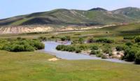
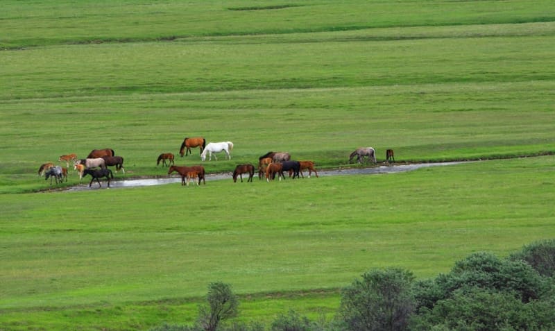
Karkara valley in Kyrgyzstan.
Tourist trips along Kazakhstan and Kyrgyzstan.
"What pheasants are summertime
We met here in the thick thicket,
What was the noise of the people and the trampling of the flocks,
The steppe wind swayed like yurts."
Nura. Saken Seifullin. 1910 - 1913. Translated by Vsevolod Rozhdestvensky.
Trip to Karkara valley from Almaty.
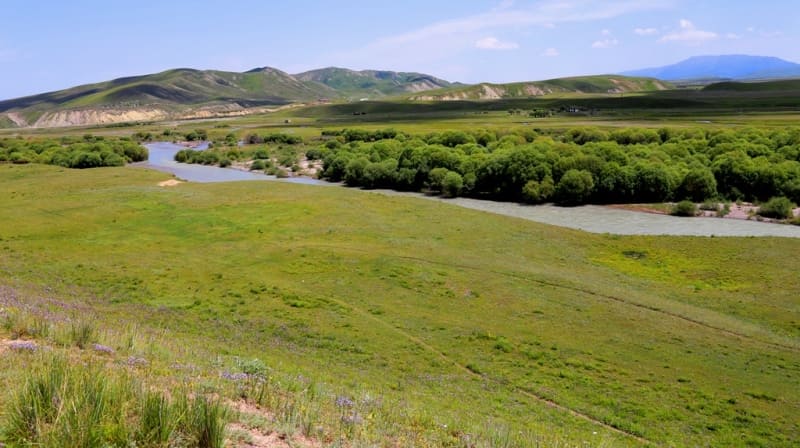
The area and valley Karkara (translated from Kyrgyz - Zhuravl) is located on the territory of Kazakhstan and Kyrgyzstan at an altitude of 1970 to 2200 m. a. s. l. On the territory of Kazakhstan, the area is located in the Kegen district of the Almaty region.
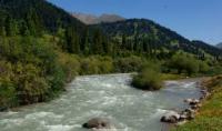
On the territory of Kyrgyzstan, it is located in the Tyup district of the Issyk-Kul region. From the east, the area is bounded by the Kurtubay River, which at an altitude of 2204 m. a. s. l. merges with the left tributary and further is called Zhelkaragay.
In the north, the border of the tract is the western spurs of the Shoaldyr mountains, the southern environs of the Kazakh village of Karkara and the Irsu river, which turns north at this place. From the west, the area is limited by the floodplain of the Irsu River.
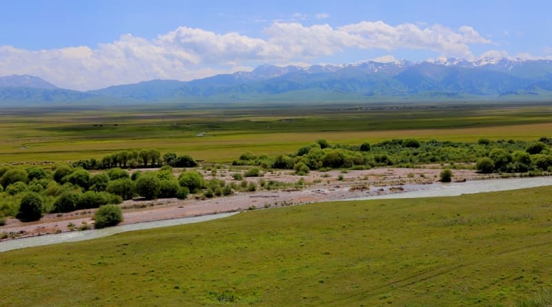
From the south - the northern spurs of the Terskey Ala-Too ridge and the eastern end of the Kungei Ala-Too ridge. The perimeter of this area is 58 kilometers, the area is 126 square kilometers. In this area, in the second half of the XIXth and early XXth centuries, the Karkarinskaya fair was held, which was timed to coincide with the summer period.
The fair was held between the Dzharkent and Przhevalsky counties, that is, on the territory of the modern Kegen district of the Almaty region. The Karkarinsky fair was attended by merchants from China, Khiva, Bukhara, Kyrgyz, Kazakh and Russian merchants.
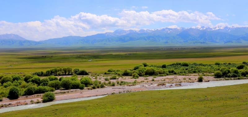
The fair ceased to exist in 1916 after the Karkarin uprising. The entire territory is confined to the lower course of the Karkara River, after it ends its course in the gorge of the same name and goes to the intermountain plain. In this vast area there are a large number of small rivers that flow from south to east: Zhelkarkara, Akkarkar, Kurkarkara, Sarysu, Irsu, Kylchikbai.
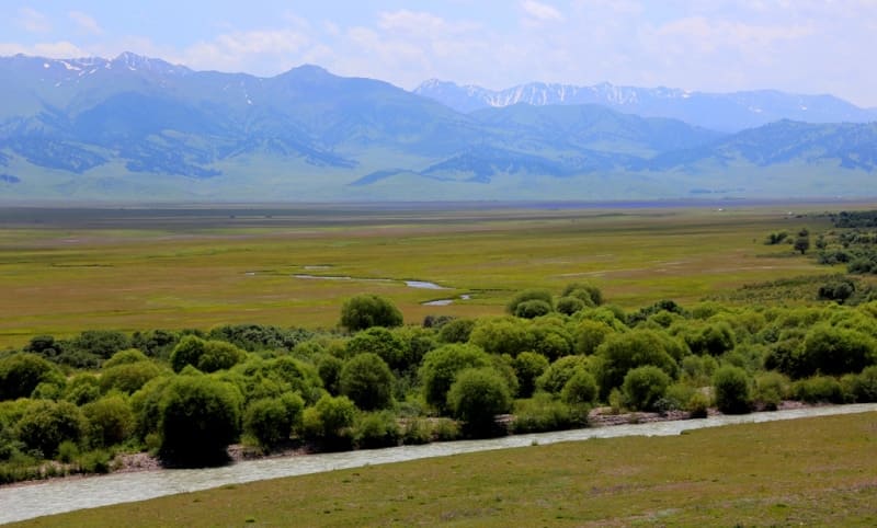
In the lower reaches, they are all left and right tributaries of the Karkara. There are a large number of ancient burial mounds, some of which date back to the Saka time. In the western part of the Sholadyr mountains, the Kainatpa Tuz salt deposit is located at an altitude of 1965 m. a. s. l. on the right bank of the small stream Kainatpa Tuz.
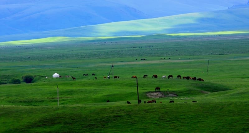
In the central part of the tract is the village of Ereul administratively belonging to the Kegen district. The soil in the tract is sufficiently moistened and is a convenient place for grazing livestock. In the valley of the Karkara River, flocks of cranes stop for rest in early summer and autumn.
Geographic coordinates of area and Karkara valley: N42°46'10 E79°08'50
Authority and photos by:
Alexander Petrov.