Вы здесь
Toguz-Bulak South Waterfall.

Trip to Toguz-Bulak South Waterfall from Tossor Pass.
"I stand under the roaring foam,
where there is a roar and a howl,
where you crash into white dust
and - you will crash again!
And from above you rush to crash again,
and you are already crashing again into white dust,
into a billion diamonds!
And a new stream behind
madly rushes forward
with a prize multi-colored ribbon
of a rainbow prism on a powerfully thundering,
awarded with thousands of medals chest!
Semyon Kirsanov. "Waterfall". 1952.
Natural attractions in Uchemchek Valley.
Toguz-Bulak South waterfall is located at an altitude of 3,361 meters above sea level, is located in rocky bed of river of same name, on southern slope of Terskey Ala-Too ridge, 120 meters north of road:source of Jilu-Suu - Tossor pass, 12.5 kilometers (by road) from Tossor pass, 20 kilometers from sources of Jilu-Suu, in Ton district of Issyk-Kul region.
The Toguz-Bulak River, 7 kilometers long, forms the main channel of two tributaries at an altitude of 3,773 meters above sea level. The tributaries originate from small glaciers and moraine lakes located on the southern slope of the Terskey Ala-Too ridge.
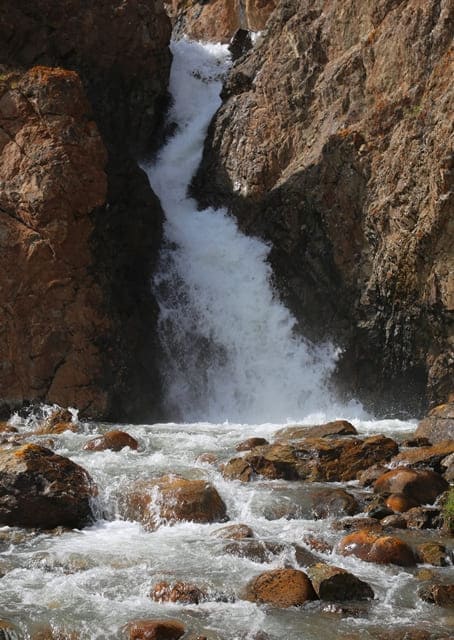
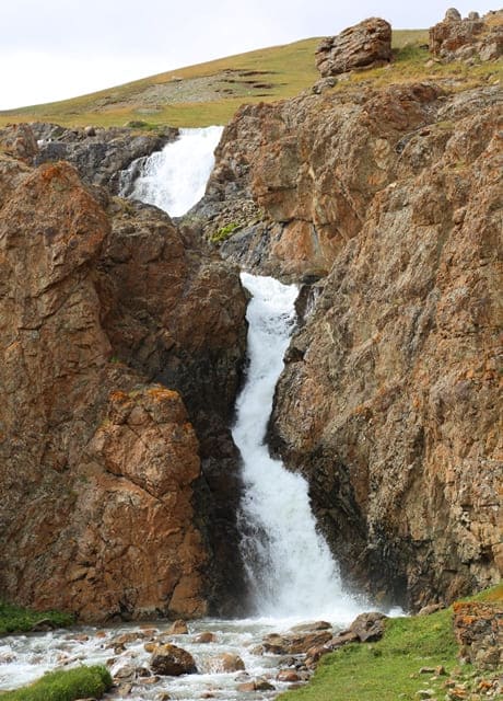
Overcoming a small rocky spur on its way, the river formed a tiered, multi-stage waterfall of the same name. After the river laid a narrow, sloping channel in the rock, which meanders and when reaching a steeper slope of the last rock terrace, four cascades of falling water are formed.
Toguz-Bulak is a tiered, multi-stage). The angle of falling water on the first cascade is approximately 75 degrees, its length is just over 4 meters, it is clearly visible from the left bank of the river in the immediate vicinity of the waterfall. The second cascade is more gentle, more than six meters long and not visible at all from the river, its view is blocked by the rocky, right ledge.
The third cascade, more than five meters long with an angle of water falling at about 80 degrees, is clearly visible from the right bank of the river. The fourth, lower cascade, more than four meters long with an angle of water falling at about 80 degrees, breaks into numerous streams on random fragments of rock lying near the rocky cliff.
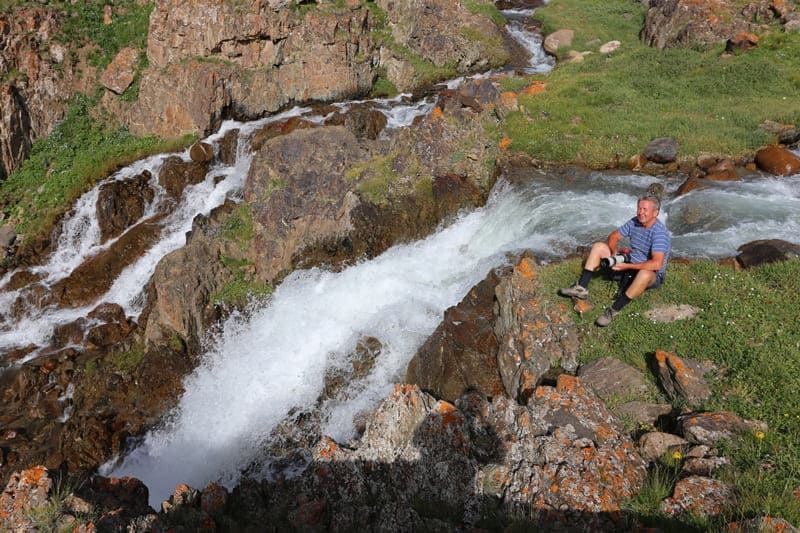
Gusts of wind form a curtain of water in the form of water dust, which moves down the river. The waterfall is clearly visible from the road, you need to stop before the ford across the river and walk along the left bank to the platform from which you can observe the fall of the water, from here you can examine it together with the first, third and fourth cascades.
You can climb up the slope of the left part of the rocky ledge to the upper terrace, which offers a view of the upper rocky bed of the river and the valley of the Uchemchek River
Geographical coordinates of Toguz-Bulak South waterfall: N41°52'43 E76°59'06


Authority and photos by:
Alexander Petrov.


