


![]()
Вы здесь
A walk through Karkaraly Nature Park.


Classic hiking route:
Three Caves - Bolshaya Kamennyaya Palata - Lake Shaitankol - Mount Kokshetau.
Total length: approximately 12 kilometers.
Duration: 5 - 6 hours at a leisurely pace with stops.
Elevations: 930 to 1,330 meters above sea level.
Difficulty: moderate.
Route type: circular, starts and ends in Karkaraly.
1. From Karkaraly to Maliksai tract and Three Caves.
Distance: 1.5 kilometers.
Travel time: 20 - 25 minutes.
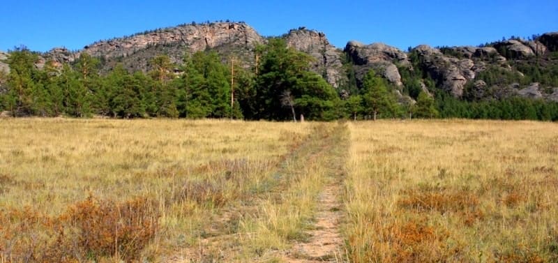
The route begins at the northern outskirts of Karkaraly, at the entrance to the Karkaraly Nature Park. Not far from the city, in the Maliksay tract, are the famous Three Caves, also known as the "Caves of Primitive Man." Within a few minutes, the trail enters the shade of pine and larch trees.
Wooden signs and tourist boards are found along the way. Granite walls soon appear ahead - this is the Maliksay tract, home to the famous Three Caves, also known as the "Cave of Primitive Man." The Three Caves are a trace of prehistoric man.
These natural grottoes served as shelter for ancient people during the harsh Ice Age. Archaeologists have found stone tools, pottery fragments, and traces of fires here. According to local legend, three brothers - the first hunters of these lands - once hid in one of the caves.
They protected their tribe from predators and later disappeared into the depths of the rock, becoming its guardian spirits. Now, if you listen long enough into the silence, you can catch the echo of their footsteps - a muffled echo of antiquity, frozen in the granite.
According to legend, the first inhabitants of the mountains - ancient hunters - once hid here, and in one of the caves, you can still see their time-polished "beds." Locals believe that spending the night near the caves brings lucid dreams and fortitude.
Tip: The caves are best explored in the morning - the sun's rays penetrate their entrances, softly illuminating the walls.
2. Hike to Bolshaya Kamennaya Palata Cave.
Distance: 900 meters.
Travel time: 15 – 20 minutes.
From the Three Caves, the trail ascends north along the slope. The city is visible to the right, and the granite waves of the mountains to the left. After fifteen minutes, you'll reach the Bolshaya Kamnaya Palata - a deep cave that extends almost 25 meters into the rock face.
It's cool here even on a hot day, and the walls are riddled with cracks and niches. Historians believe that this cave was first described in the XIXth century by the traveler and explorer A. Middendorf, who left behind notes about the unusual acoustics of the stone chamber.
According to legend, shamans came here in ancient times - here, in the silence, they "listened to the breathing of the mountains." Landmark: a natural granite arch is visible above the cave - a popular photo spot.
3. Path to Lake Shaitankol.
Distance: 2.2 kilometers.
Travel time: 40 – 50 minutes.
The trail then leads east, serpentining around a rocky ridge. After a kilometer, a sign appears for Lake Shaitankol, also known as "Devil's Lake." The lake is located at an altitude of 1,133 meters above sea level, in a natural basin amid a pine forest. In clear weather, its dark, almost mirror-like surface seems bottomless.
Legend has it that a star fragment once fell here, and since then the lake's water has held a secret. Others say that on moonlit nights, music can be heard from the depths – "the breath of Shaitan." In reality, the lake amazes with its tranquility and special energy: even the wind subsides here.
Rest area: There's a bench and observation deck on the northern shore. It's a great spot for a snack and photos.
Tip: Don't swim – the water is icy even in summer, with a temperature no higher than 10°C.
4. Ascent to Mount Kokshetau.
Distance: 2.8 kilometers.
Travel time: 1 hour.
The ascent to Mount Kokshetau (elevation approximately 1,330 meters above sea level) begins from Shaitankol. The trail passes through sparse forest and reaches the granite slabs of the summit. At the top, there's a panoramic platform with views of Karkaralynsk, the neighboring Kent and Turgen mountains, and, on a clear day, even the steppes of Central Kazakhstan.
Interesting fact: Kokshetau means "Blue Mountain." In certain lighting, the granite cliffs actually appear bluish, especially in the morning.
Tip: Climb to the summit closer to sunset - the golden light makes the landscape especially striking.
5. Return to Karkaralynsk.
Distance: 4.5 kilometers.
Travel time: 1 - 1.5 hours.
The descent runs along the southern slope of the mountain, through a pine forest. After half an hour, you'll reach a clearing and a spring where you can refill your water supply. The trail then descends gently to the outskirts of Karkaralynsk.
Useful information for travelers.
How to get there:
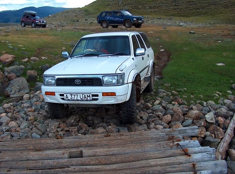
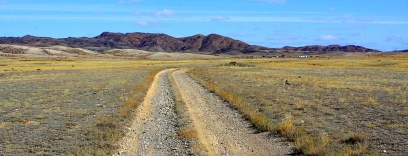
Karkaralinsk is located 220 kilometers from Karaganda. You can get there by car or bus. A network of trails and routes leading to the park's main attractions begins in the city.
Best time of year: late May through September. In the spring, steppe irises and fritillaries bloom profusely, while in the fall, the pines and shrubs are especially vibrant.
Equipment: comfortable trekking shoes, plenty of water (1.5 – 2 liters), light snacks, a hat, and a raincoat.
Photo points: at the Three Caves, the Great Stone Chamber, on the northern shore of Shaitankol, and at the summit of Kokshetau.
Safety: Stay on the marked trails as there are areas with cracks in the granite and cliffs.
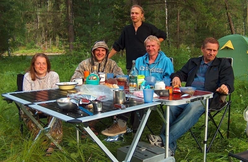
Accommodation:
There are hotels, tourist centers, and guesthouses in the city and within the park. For those seeking solitude, there are equipped campsites and recreation areas near the lakes.
Best time to travel:
From late May through September – the time when everything is in bloom and the weather is mildest. In autumn, the mountains are especially beautiful – the pines are golden, and the air is clear and cool.
What to bring:
Comfortable shoes, a light windbreaker, water, a hat, a camera, and, of course, a good mood.
If you're planning a mountain hike, bring warm clothing, even in summer.
Rules of conduct:
Don't leave trash or light fires outside designated areas.
Don't touch rare plants or approach wild animals.
Remember: you are a guest in nature's home, which preserves a thousand-year-old history.
The atmosphere of Lake Shaitankol is a poetic sketch.
In the morning, Shaitankol is like a mirror, reflecting the sky and mountain pines – as if nature itself is admiring itself. At midday, the water turns dark green, the sun shines into your eyes, and the lake seems like a living being, watching your every step.
And in the evening it plunges into darkness, as if closing its eyes, hidden by the haze of evening shadows. It then becomes clear why people have long called it "the mysterious heart of Karkaraly."
Short walks around Karkaraly.
If you're planning an easy day trip, a walk around the town is a good option:
Lake Pashennoye is just 2 km south of the center; a picturesque spot for relaxation and swimming.
Lake Bassein is a popular spot among locals, especially in the summer months.
Elephant Rock and the Valley of Fairy Tales is a 4-kilometer route convenient for family walks. Here you'll see dozens of rocks of the most bizarre shapes, reminiscent of animals, birds, and faces.
Trail to Peak of Immortality.
This route is one of the most impressive in the park. From the city center, the trail runs along the foot of Mount Koktas and then ascends a gentle slope. As you ascend, the panorama widens: valleys, granite domes, and, in the distance, mirror-like lakes are visible.
At the summit is an observation deck known as the Peak of Immortality. Locals say that anyone who watches the sunrise here will feel extraordinary peace and a surge of strength - the spirits of the mountains, according to legend, share their energy with travelers.
Distance: approximately 6 kilometers round trip.
Travel time: 2 – 3 hours.
Authority and photos by:
Alexander Petrov.