Вы здесь
Trip to Zhasylkol lake in Dzungarskiy Ala-Tau.
Tour to sights of Dzhungarskiy Ala-Tau.
“The real voyage of discovery consists not in seeking new landscapes, but in having new eyes”
Marcel Proust.
Short description of a route of a trip on jeeps to Dzungarskiy Ala-Tau:
Almaty - town Konaev - railway station Saryozek - town of Taldykorgan - settlement Sarkand - settlement Pokatilovka - lake Zhasylkol - Almaty.
Distance of route: 964 km.
Season: from 20 of April, 1st till September, 30th.
Best time for excursion: June - August.
Distance of active part of walk: 8 – 10 km.
Duration of tour: 3 days, 2 nights.
Detailed program of automobile and foot walk to lake Zhasylkol in Dzungarskiy Ala-Tau mountains:
Travel across Dzhungarskiy Ala-Tau.
Day 1. Almaty – Zhasylkol cordon (482 km).
Transfer: Almaty - Konaev town - Taldykorgan toan - Zhansugurovo settlement - Sarkand settlement (414 km).
Departure from Almaty at 7.00. The path from Almaty leads to the northeast, past the town of Konaev (formerly Kapshagai), which is the administrative center of the Zhetysu region. The country's largest gambling zone with casinos and hotels is located in the roadside, western and northwestern parts of the town.
The Kapshagai reservoir, which stretches from west to east for almost 100 kilometers with beaches, boarding houses, hotels and holiday homes, is adjacent to the town. Soon, along the bypass road we pass the town of Taldykorgan and then our path lies along the northern slopes of the Dzhungarskiy Alatau. Arrival in the village of Sarkand, late lunch at a local cafe.
Transfer: Sarkand village - Ekiasha (Pokatilovka) village - Topolevka village - Terekty river - Mynbulak tract - Maket kol lake (48 km).
From Sarkand our path lies to the southeast, along the northern slopes of the Markatau mountains. We pass the village of Ekiasha, which until 1993 was called Pokatilovka. The 11-time champion of Kazakhstan in freestyle wrestling Abilseit Aykhanov, actor Kuman Tastanbekov, who played one of the main roles in the film “Kyz-Zhibek” (1970), was born and raised in the village; the hero of the Soviet Union Vasily Belenko, a participant in Great Patriotic War.
We head to the village of Ekiasha, pass the bridge over the Bolshoy Baskan River and turn northeast to the next village - Topolevka, which is located in the northern part of the Zhamankotyrta Mountains. If desired, in the village you can visit the apiary of Pitenko beekeepers.
After the village of Topolevka we pass the Terekty River, here is a picturesque place - granite slabs slope down into the river. Water flows among the thickets of aspen forest, apple trees, and bushes. From here we turn northwest and drive along the picturesque Mynbulak valley.
The Mynbulak valley is located in a small intermountain depression in the northern part in a natural depression where Lake Maket kol is located, this is one of the picturesque places in the northern foothills of the Dzhungarskiy Alatau. Lake Maket Kol is located at an altitude of 1093 meters above sea level; in its northern part there is a bulk dam that blocked the sources of the Maly Zhalanash River.
In the southwestern part of the lake grows the rare (Lychnis), a flowering plant with red flowers, which gives the lake a unique color against the backdrop of the snowy peaks of the Dzungarskiy Alatau. Walk around the lake.
Transfer: Lake Maket Kol – Big Zhalanash River – Aganakty River – Zhalanash Cordon (10 km).
From Lake Maket kol, since our path lies to the east, we ford the Bolshoy Zhalanash River, cross the Aganakty River over the bridge. Here, not far from the Zhalanash cordon of the Zhongar-Alatau Natural Park, there is a picturesque place.
Literally below the road bridge across Agantakty, a small tributary of the Karbushka flows into the right.
The water in the Aganakty River is turquoise in color, which mixes with the clear waters of Karbushka and forms a magnificent landscape. A short walk in the surrounding area.
Transfer: Zhalanash cordon – Martynov apiary – Zhasylkol cordon (10 km).
Our path from the Zhalanash cordon lies to the southeast, to the Martynov apiary we climb a slope among a mixed forest, which is located between the Karbushka and Aganakta rivers. From the apiary the road turns west and descends to the Aganakty River.
Next we drive along a rocky, bumpy road along the right bank of the river to the Zhasylkol cordon. In the vicinity of the cordon, dinner and overnight in tents.
Day 2. Cordon Zhasylkol – lake Zhasylkol – cordon Zhasylkol (8 + 8 = 16 km).
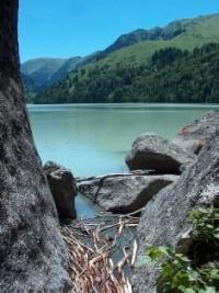
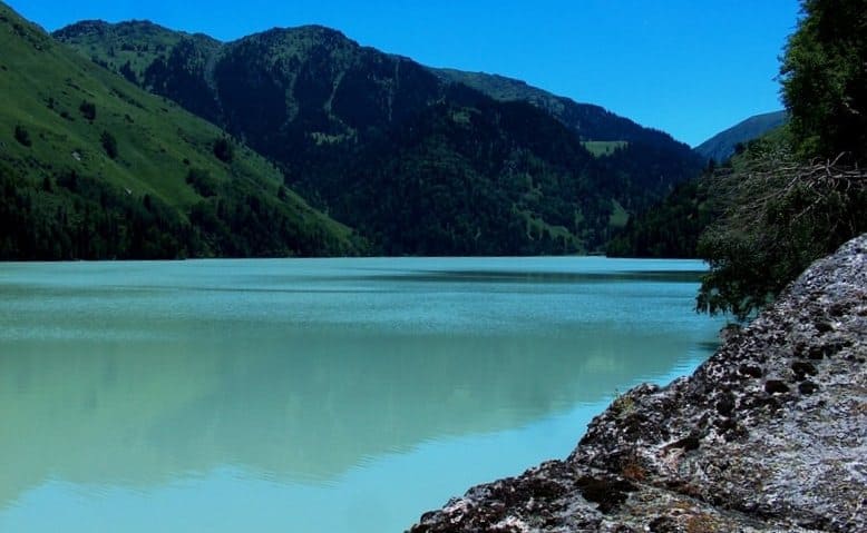
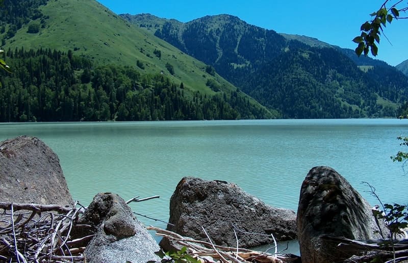
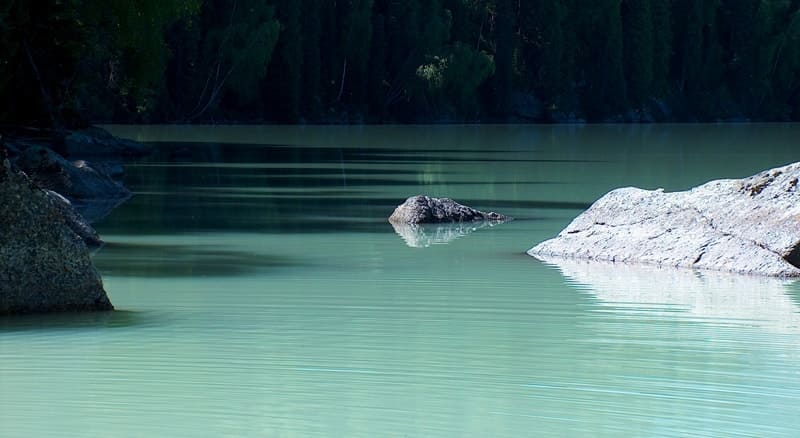
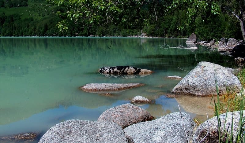
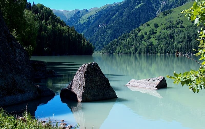
Breakfast. First, from the cordon we climb along the Aganakty River, then, gradually, the trail moves away from the river and begins the ascent to an ancient moraine, which blocked the river bed and formed a lake. The flowing, fresh lake Zhasylkol is located at an altitude of 1630.5 m. a. s. l., located on the northern slope of the Dzungarskiy Alatau ridge in the valley of the Aganakta River.
The greatest length of Lake Zhasylkol from the northern to the southern shore is 1.9 kilometers, the greatest width of the lake in the southern part of the lake is 525 meters. In the northern part, the greatest width of the lake reaches 632 meters.
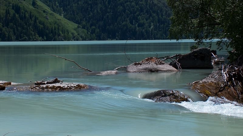
The area of the lake is 0.95 square kilometers, the length of the coastline reaches 5.2 kilometers. The delta of the Aganakta River in the southern part of the lake is 312 meters. Flowing through the lake, in the southwestern part the river overcomes huge rocks in the riverbed and forms a cascade of waterfalls outside the lake.
Walk around the lake. Lunch on the shore of the lake.
Return to the Zhasylkol cordon (4 km).
Dinner, overnight in tents.
Day 3. Cordon Zhasylkol – Almaty (482 km).
Breakfast. Cordon Zhasylkol - cordon Zhalanash - Topolevka settlements - Sarkand (68 km).
Transfer: Sarkand settlements - Zhansugurov - Taldykorgan town (151 km).
Lunch at a local cafe.
Further transfer: Taldykorgan - town of Konaev - Almaty (263 km).
Arrival in Almaty, end of the tour.
Note:
The author program Alexander Petrov. Copying and introduction - only from the sanction of the author - petrovsra@mail.ru
Alexander Petrov
photos.


