


![]()
You are here
Northern-Zhungar Alatau.

Tours to Dzhungarsky Ala-Tau in Kazakhstan.
"They lead along the valleys of Biyen, Aksu, Sarkand rivers, which are 30 - 50 km; in the east the starting point is Tekeli town; they lead along the valleys of Koktal and Koksu Rivers, which are up to 100 km; in the south the starting point is Zharkent; from it routes (50 - 70km) lead along the valleys of Usek and Tyshkan Rivers"
Tour Packages and Private Kazakhstan.
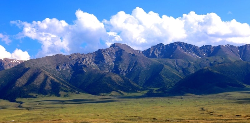
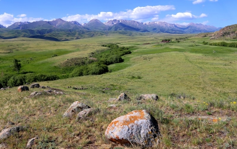
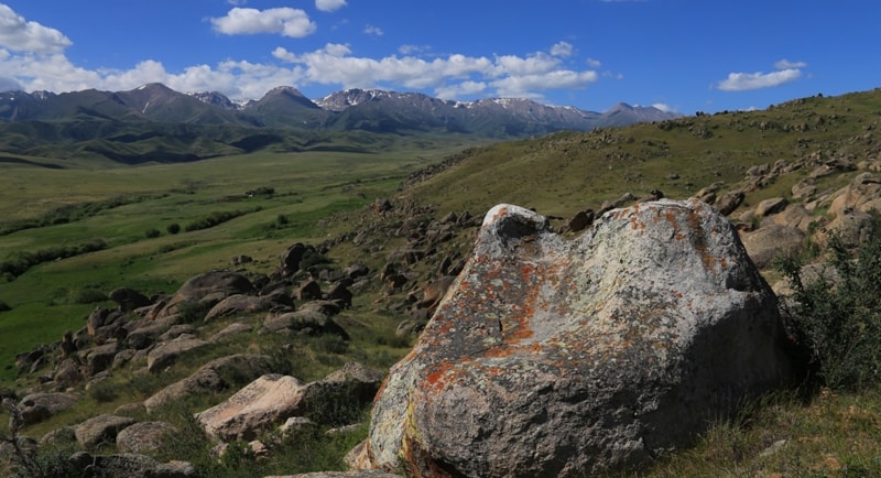
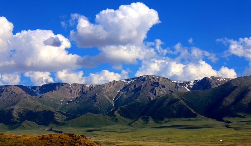
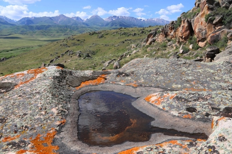
The foothills are of the desert-steppe character in the desert zone of the Northern-Zhungar area. The low hills there are steppe, with an apple-tree-pine forests and thickets of bushes along the rivers valleys; the middle hills are of the forest-meadow and forest-meadow-steppe character.
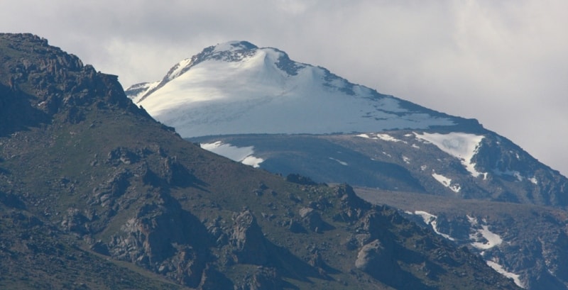
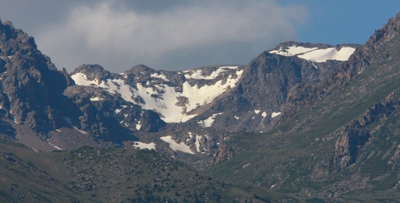
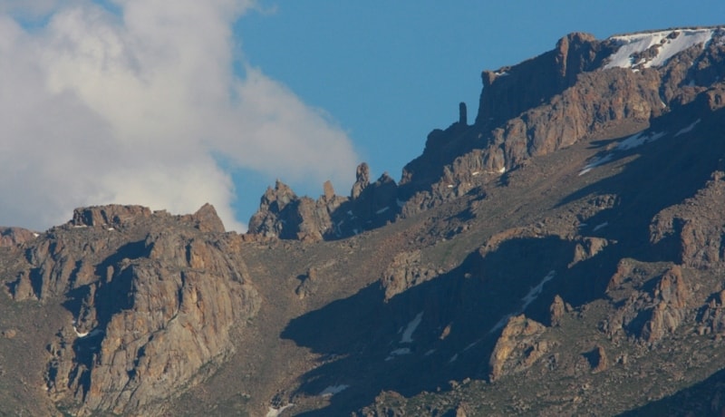
The woods include, mainly, the Tien-Shan fir-tree. The sub-Alpine, Alpine meadows, loaches, eternal snows and glaciers are above, in the high-mountain layer. The mountain meadows serve, as summer pastures - zhailyau.
Their grasses include kobresia, manzhetka, wild onions, poppies and yellow-cups. An edelweiss, a whitish-green flower can be occasionally met. The sub-Alpine meadows are covered with archies' cushions (juniper).
Rafting, canoeing and boats are available on the Lepsy, Tentek and other mountain rivers, and, also, on the Alakol Lake. Taldykorgan is starting point. The starting points in the North are located on the aldykorgan-Kzylagash highway, trips from them are directed to the Biyen, Aksu and Sarkand Rivers valleys, 30 - 50 km in length. On the northern slopes of Zhungar Alatau there are famous thermal radon springs Zharkent-Arasan, Kapal-Arasan, which are resorts. In North-Zhungar region, in the desert zone, the foothills are desert-steppe. Lowlands here have apple-tree and pine forests and bushes along the river valleys; medium hills have forests and meadows, as well as steppes.
Forests primarily consist of Tien-Shan spruces. Above, in the highlands there are sub-alpine and alpine meadows, eternal snow and glaciers. Mountainous meadows serve as summer grasslands (zhailau).
They have such grasses as cobresia, syndow, wild leek, poppy and buttercup. Sometimes you can see the white-green flower of edelweiss. Sub-alpine meadows are covered with juniper.
On Lepsy, Tentek and other mountainous rivers, as well as on Alakol Lake there are water trips by rafts, canoes or inflatable vessels. The starting point for the routes is Taldykorgan. Starting points for routes in the north are located on Taldykorgan-Kzylagash Road.
They lead along the valleys of Biyen, Aksu, Sarkand rivers, which are 30 - 50 km; in the east the starting point is Tekeli town; they lead along the valleys of Koktal and Koksu Rivers, which are up to 100 km; in the south the starting point is Zharkent; from it routes (50 - 70km) lead along the valleys of Usek and Tyshkan Rivers.
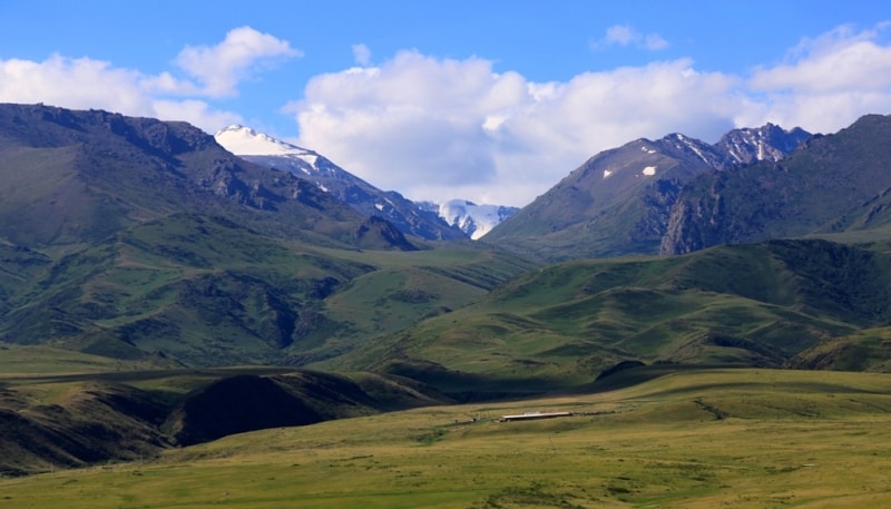
Here you can see typical mountainous animals like argali, ibex (tau-teke), snow leopard and brown bear. The mountainous country, Zhungar Alatau, is very diverse. Korinskoye Ravine is one of the most picturesque mountain tracts in Zhungar Alatau. Its length is 90 km, the highest point is 4100 m above sea level.
The ravine is ideal for the arrangement of the skiing resort. This area is also famous because it has one of the biggest waterfalls in Zhetysu - “Burkhan-Bulak”. Tekeli is the starting point in the East, trips from it pass the Koktal and Koksu River valleys, 100 km in length.
Zharkent is the starting point in the South, from it, trips go along the Usek and Tyshkan River valleys, 50 to 70 km in length. Typical high-mountain animals, i.e. the mountain ram (arkhar), goat (tau-teke), ounce, white-nailed bear are found there.
The Zhungar Alatau, a mountainous country is extremely diverse. The Kora Gorge is one of the most picturesque Zhungar Alatau Mountain Gorges, its length is 90 km; the highest point is 4100 m above sea level.
The gorge ideally suits mountain skiing. This place is also famous for Burkhan-Bulak, one of the largest waterfalls in Semirechye.
Authority:
"Zhetysu is the Land of tourism”. A Tourist Guide-book. Almaty. 2003. 68 p. and the material for this page is taken from the printed edition.
Photos
Alexander Petrov.