Вы здесь
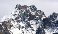
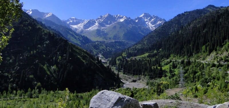
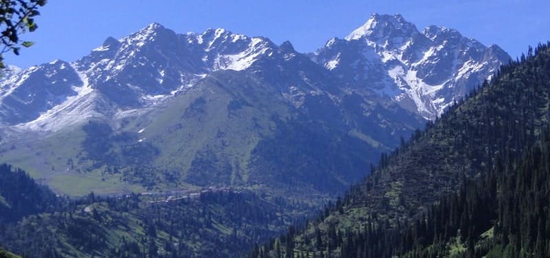
Abaya peak in North Tien-Shan.

Mountain climbing peaks around Almaty.
"Sheer walls - don't yawn!
Don't rely on luck here.
In the mountains, neither stone, nor ice, nor rock are reliable.
We rely only on the strength of our hands,
On the hands of a friend and a driven hook
And we pray that the insurance doesn't fail"
Vladimir Vysotsky. "The Summit".
Alpinism in Almaty.
Three-headed Abay peak, 4,010 meters above sea level, is located in western branch of Maly Almaty spur on northern slope of Zailiysky Alatau ridge. Abay peak is located in the second branch of the Maly Almaty spur, which is the watershed of the Malaya Almatinka and Komsomolka river basins, and is located between the Amangeldy summit and the Abay pass.
The peak's rock massif ends in steep slopes cut by couloirs. Behind the northern summit, the ridge drops sharply and stretches in the form of a rocky palisade in the direction of the Shkolnik summit. In the middle, lowest part, there is the Abay pass, 3,650 meters above sea level, connecting the Malaya Almaty gorge with the Bogdanovich glacier cirque.
The summit is composed of red granites. The Abay glacier descends from the summit on the northern side, and the western side faces the Malaya Alatinka river valley. The first ascent was made by a group of Almaty climbers led by G.I. Beloglazov in 1932.
The first mass alpiniad (ascent) in the history of Kazakhstan was the ascent of Abay Peak in 1995. The event was dedicated to the 100th anniversary of the great Kazakh poet, Abay Kunanbayev. The President of the Republic of Kazakhstan, Nursultan Nazarbayev, also took part in the ascent. He climbed to the top of the peak, accompanied by veterans and young Kazakhstani climbers.
Geographic coordinates of Abay Peak: N43°05'30 E77°05'50
Ascent routes to Abay Peak prepared by V.I. Stepanova.
Ascent to Abay Peak along the north-western ridge - 1b category of difficulty.
From the peak of Abayana to the north, northwest and southwest there are powerful side ridges, separated by deep! couloirs. The northwest ridge ends with a 300-meter rock wall, smoothed in the lower part) by an ancient glacier. The wall descends into the Malo-Almatinskoye gorge, forming the so-called Tuyuksu Gates.
The glaciation of the Abay peak is insignificant, only from its northern side a small steep Abay glacier descends into the Chertovo gorge. The movement along the route begins from the initial bivouac near the lake behind the Talgar Pass. Climb along the moraines to the eastern slopes of the peak and continue along the first couloir (landmark black rocks on the right).
Climb along a steep scree for 70 - 100 meters, then approach the base of the stepped rocks, which are overcome in bundles with belay. Having reached the middle scree, continue moving along the couloir to the next section of stepped rocks.
Then traverse the slope to the right and reach the ridge framing the Abay glacier from the east. Move along the edge of the glacier to the pre-summit rocks. Go to the couloir that rests against the side tower of the northern peak of Abay.
This section is the most difficult. The upper part of the tower is heavily damaged and is a pile of rocky boulders - extreme caution is required, careful belaying when traversing from right to left to reach the tower. The last section of the route is easy rocks leading to the northern peak.
Descent along the ascent route. The entire route takes 5 - 6 hours. The first ascent in 1929 was made by a group of Alma-Ata climbers led by G. Beloglazov. Approach to the route from the middle part of the Malo-Almatinskoye gorge. From the Tuyuksu Gate weather station, turn into the Devil's Gorge and here, among the ancient moraines, set up the initial bivouac.
The ascent begins along the right side. Having reached the Abay glacier, traverse it along the line of rocks. At the foot of the rocks, set up a team. The ascent is from the left side of the rock massif. The steepness slope no more than 25 - 30 °. After 60 - 70 meters there is a passage in the rocks, through it there is a transition to the right side of the rock massif.
Here the steepness of the snow slope increases to 35 - 40 °, the ascent is straight up to the foot of the summit rock tower. This section (450 - 500 meters) is overcome with careful belay. It is necessary to ascend and descend along it until the sun illuminates the slope and softens the snow.
Having reached the foot of the tower, turn north and after 30 - 40 meters of the path along light rocks approach a couloir with a steepness of 35 - 40 °. At the end of the season it can be icy (it is necessary to cut steps). After 25 - 30 meters turn left to the rocks and along them with careful belay climb to the tower of the northern summit.
This is the main summit of Abay Peak. Descent along the ascent route. The ascent takes 6-7 hours.


Authority:
"Zhetysu is the Land of tourism”. A Tourist Guide-book. Almaty. 2003. 68 p. and the material for this page is taken from the printed edition.
"Across the Trans-Ili Alatau." V.I. Stepanova. Almaty, Kazakhstan, 1976.
Photos by:
Alexander Petrov.


