


![]()
Вы здесь
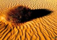
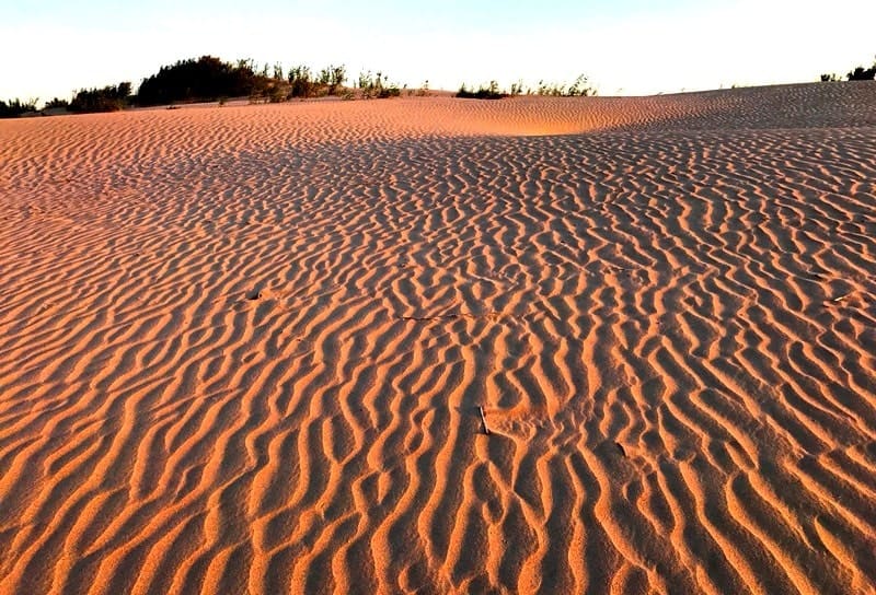
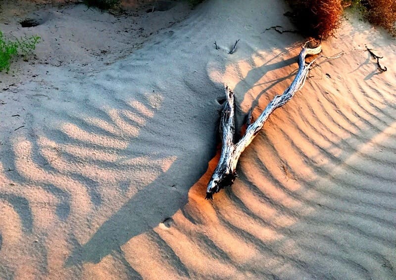
Sands Sam on Ustyurt plateau
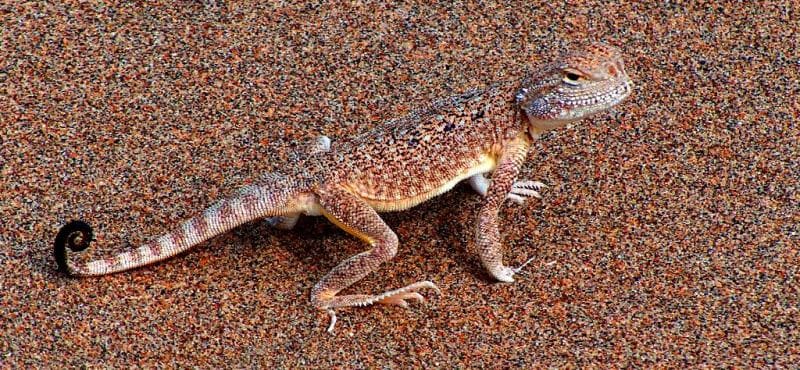
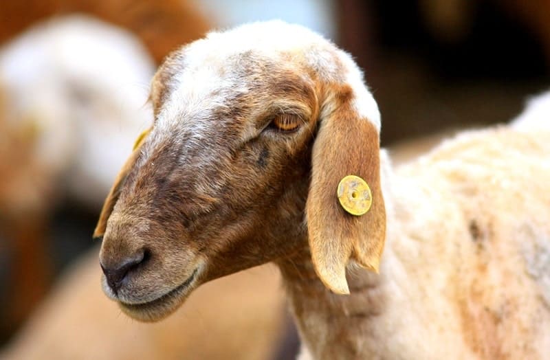
Bird-watching on Mangyshlak.
“Having passed the large cemetery of Mamai, before our eyes whole mountains of loose sand soon opened up in the distance - these are the Sam dunes. We reached them near the cemetery of Amanturly-batyr. The sands appeared as countless hills and ridges covering huge areas. Before our eyes, it seemed, was a sandy, strongly agitated sea. In places the sands were overgrown with bushes of uzgonya and silvery kuyanchsuyeka; in most places, uncovered by anything, they yielded to the action of the slightest breeze and were subject to the movement of the ridges, these, like dunes, are stretched in the direction opposite to the direction of the acting winds - the slope on which the wind acts and along which the sand grains are carried is always gentle, covered with wavy streams, while the opposite slope, onto which the sand grains are poured, is steep. The direction of the ridges is not rectilinear, but usually in the form of a weak arc, with the concavity facing the acting winds. The height of these ridges above the steppe was up to 15 - 30 sazhens. I tried in vain to find some dominant direction in the arrangement of the ridges. Having climbed the sands, the caravan moved with great difficulty from one elevation to another, and the depressions dividing the ridges and hills often had the shape of a fairly regular bowl. "
"Through Mangyshlak and Ustyurt to Turkestan." Barbot de Marni. 1874.
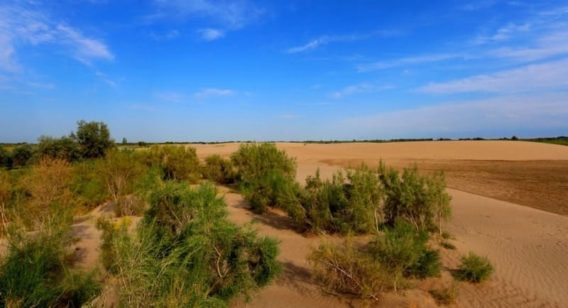
Familiarization tour from Aktau to Atyrau.
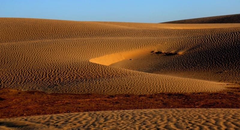
Sam sands are located at an altitude of 89 m. a. s. l. in east and up to 83 m. a. s. l. in southwest, are located in Beineu district in northeastern part of Mangistau region and a very small part is located in Baiganinsky district in south of Aktobe region.
The northern and eastern parts of the sands itself surrounds the saline march itself, which stretches for 45 kilometers in the meridional direction. The eastern part of the litter itself is located in the Aktobe region. On the northwestern border of the sands is the village of Turysh, which serves as a station for servicing “The Central Asia – Center” gas pipeline.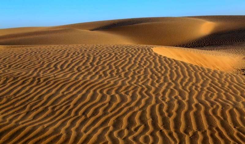
The sands themselves got the name from several sands scattered throughout 77 kilometers, which have their own names. So in the eastern part of the border in the Aktobe region located sand Zharkum. To the west of the saline tract of Saparkand are the Shonai Sands, which extend westward to the Karabulak Upland, beyond which the Sorsha Sands begin.
The southernmost part of the sands itself got its name - the Sholkum sands, which in the south border the Zharykkuduk salt marsh. The southern part of the salt marsh Zharykkuduk is located on the territory of the Republic of Uzbekistan, the northern part in Kazakhstan.
The state border between Kazakhstan and Uzbekistan divides the Zharykkuduk salt marsh in half in the meridional direction. In the north-western part there are the sands of Uyaly, which in the south are bounded by the Zharykkuduk salt marsh.
The length of the sands itself from south to north and further to the east is 77 kilometers, the greatest width, 28 kilometers to the south from the village of Turush to the south. By the Sam sand, along the sands of Uyaly and the Sam station, a new railway line runs from the Shalkar railway station located in the Aktobe region to the Beineu station in the Mangystau region.
The length of the railway from the station Shalkar to the station Beyneu is 471 kilometers. From Dzhezkazgan to Beyneu, the length of the railway was 988 kilometers. The construction of the road began in August 2012 and on July 3, 2016, a passenger train No. 377\378 followed Almaty-Mangyshlak.
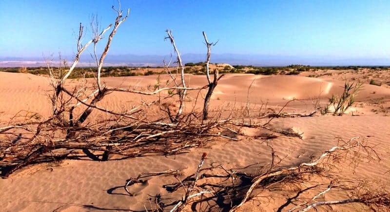
The sands of Sam are represented by hilly and cellular sands fixed by sands, the height of the sand mounds is 5 - 10, the depth of the sand cells is from 3 to 5 meters. In the sands themselves grow a feather grass, comb wheat grass, Zhuzgun, weeds, biyurgun from shrubs in the sands are represented by saxaul.
History of exploration of Sam sands.
In 1874, a geological expedition of the Russian Geographical Society moved through the Sam sands, along the wells on the way to Kungrad. It consisted of: for: the Caspian fauna was explored by O. A. Grimm, for the study of the animal life of the Aral Sea V. D. Alenitsyn, on land: part of the expedition was taken on by zoologists M. N. Bogdanov and M. A. Butlerov, and for geological research Nikolai Pavlovich Barbot de Marni.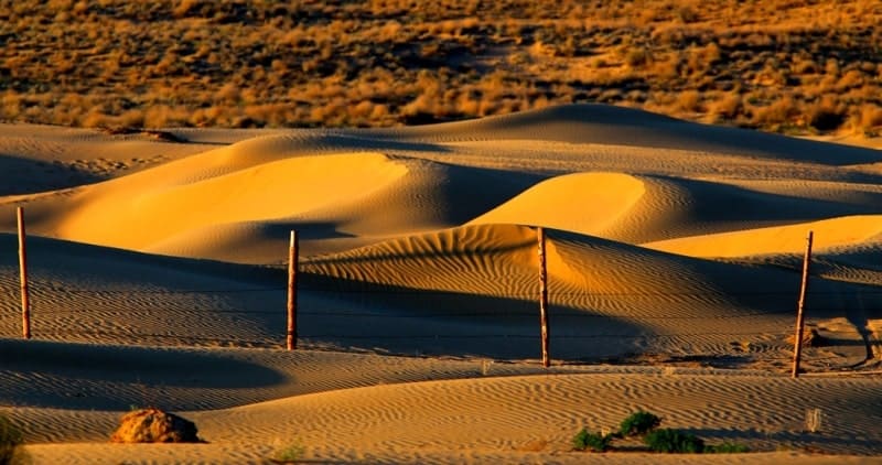
The expedition route from Fort Aleksandrovsky was supposed to be as follows. Go east through the whole of Mangyshlak, climb Ustyurt in Karatai, visit the ruins of the former Novo-Aleksandrovsky fortification, and from there to the Sam sands, where the Orenburg detachment of Cossacks is stationed in the summer.
Having changed the convoy in Sama, we headed to the Kara-tamak tract on the northwestern shore of the Aral Sea, where another Orenburg detachment was sent to stop in the summer and where a barge was supposed to arrive to take us for transportation to the mouth of the Amu Darya.
Geographical coordinates of Sam sands: N45°22'21 E56°11'13
Authority and photos by:
Alexander Petrov.