


![]()
You are here
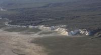
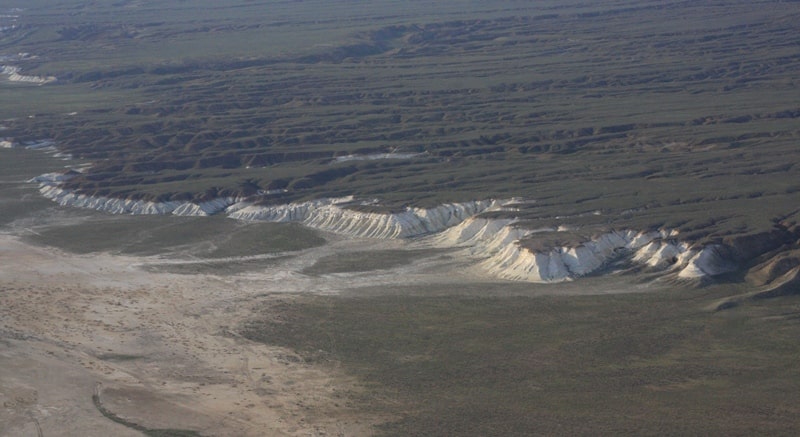
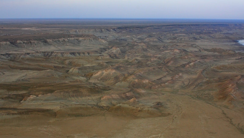
Depression of Zhasgurly.
Camping in mountains Mangyshlak.
"Be discreet in business and passionate about travel"
Hiking Tour One Day Mangistau.
The Zhasgurly depression is located in the south of the Mangyshlak peninsula on the Kenderli-Kayasan depression, 20 kilometers east of the Kuandy depression and north of the Basgurly depression in the Karakiya region, Mangistau region, Kazakhstan.
The Zhasgurly depression is confined to the Basgurly-Zhazgurly depression. The depression stretches from west to east and is 12.2 kilometers long, with a width of 5.7 kilometers in the middle. The depression is characterized by steep, precipitous northern slopes, indented by ravines.
In the south, 2.7 kilometers away, there is the Basgurly depression. The gentle eastern and southeastern slopes gradually turn into a slightly undulating accumulative plain, dividing the depression into two halves - Zhazgurly and Basgurly.
It has been established that the depressions were formed during arid epochs during 5 - 6 million years (in the post-Pontic time) due to salt disintegration of rocks and deepening by the wind, therefore they are "relict".
Authority:
Alexander Petrov. "On the origin of the drainless depressions of South Mangyshlak". V.V. Sholokhov. Institute of Physics of the Earth, RAS, Moscow, Russia.
Photos by:
Alexander Petrov.