


![]()
Вы здесь
Inder Lake in Atyrau region.
Individual tours in Kazakhstan.
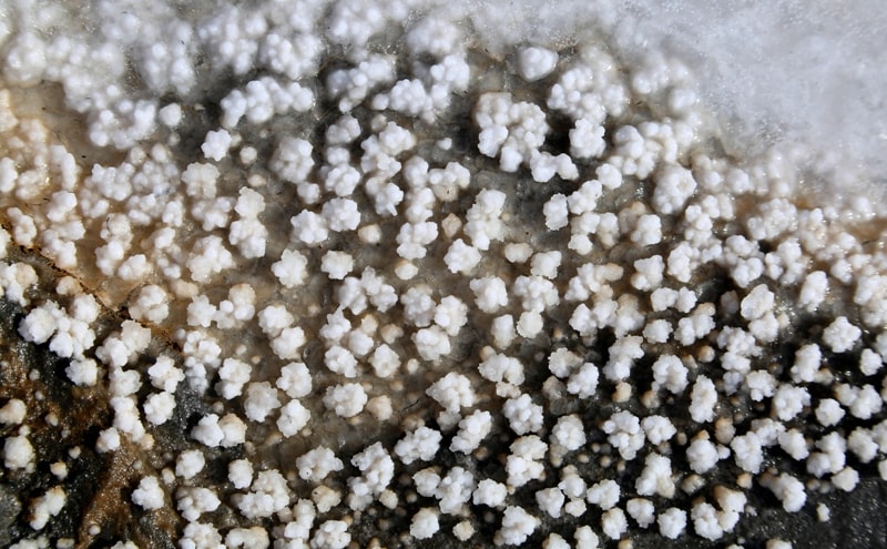
“Lake Inderskoye, like Ebeleysky, serves as an abundant source, where not only the Kyrgyz, but also the Ural Cossacks take salt. It lies on the left side of the Urals near the fortress, which received the name Inderskaya from it (Kosh-Uralskaya too). This lake has a circumference of up to 40 miles. In the mountains surrounding it there are many holes and caves. Their position makes us think that this lake lies above the surface of the Urals. Pallas thought so, and his assumption seems fair to the traveler’s eyes, but the research of one mining official (Mr. Vecheslov), who mapped Lake Indera with the help of instruments in 1821, discovered that it is 15 fathoms below the surface of the Urals. The best salt extracted from it sits at the top, in the form of small crystals that easily crumble. It tastes bitter. The bottom of this lake is covered with a thick layer of salt.”
Levshin A.I. “Description of the Kyrgyz-Cossack or Kyrgyz-Kaisak mountains and steppes.” 1833.
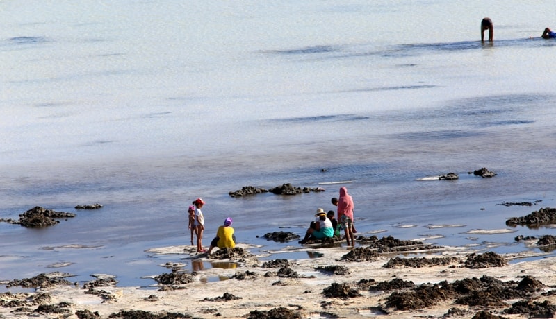
Trip to Inder Lake in Atyrau region.
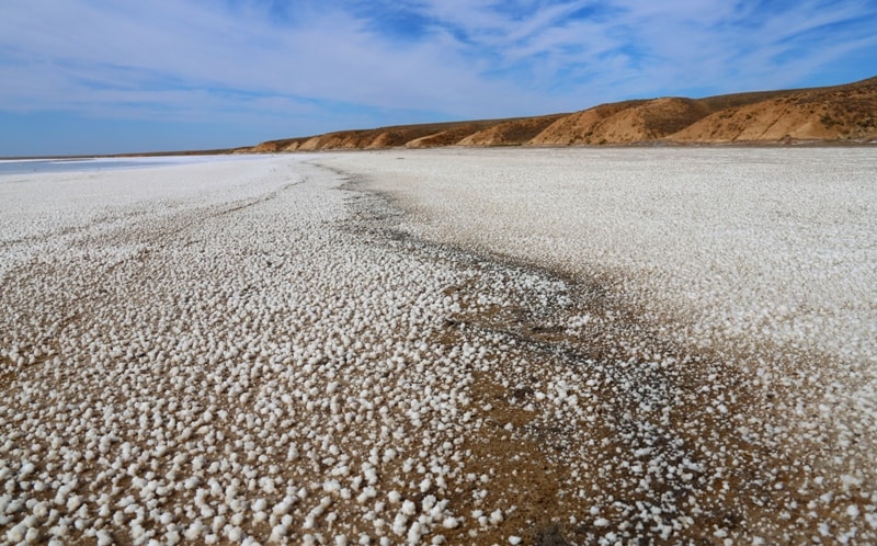
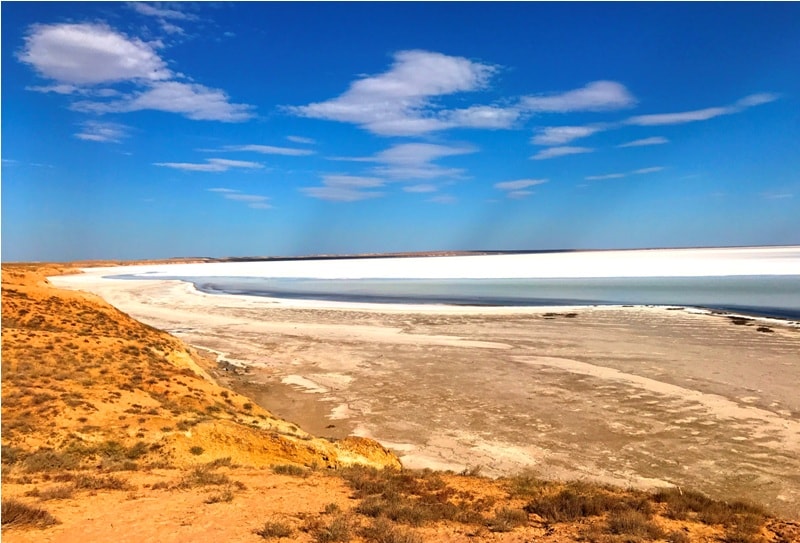
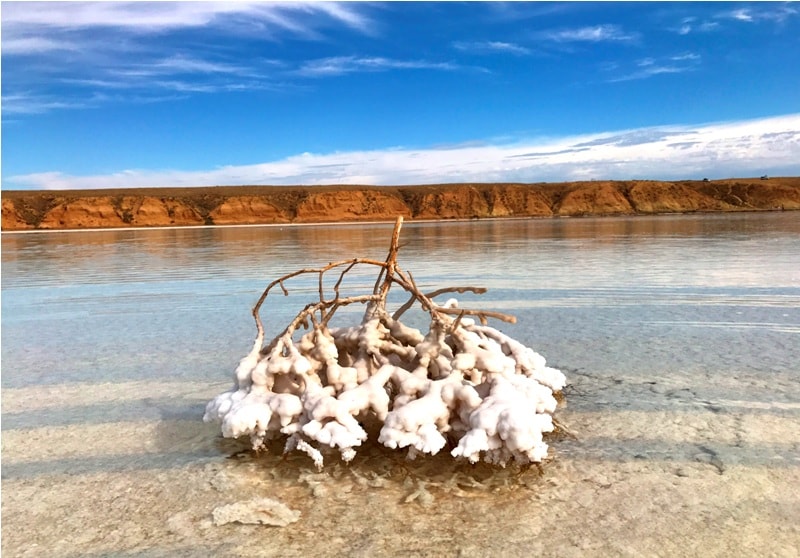
Inder Lake (local name Tuzdykol) is a large, salt lake in the northern part of the Atyrau region of Kazakhstan in the Inder district. It is located in the northern part of the Caspian lowland, 9 kilometers east of the Ural River, 4 kilometers from the southern border of the West Kazakhstan region, 180 kilometers north of the coastline of the Caspian Sea.
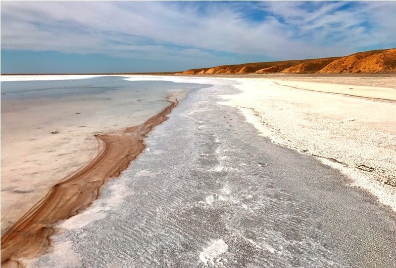
The northern and northeastern shores of the lake border the Inder Mountains. The area of the mirror is about 110 square kilometers. The shape of the lake is round, slightly elongated from the northwest to the southeast.
The diameter of the lake from the northwest to southeast is 13 kilometers, from the southwest to northeast - 10 kilometers. Rivers do not flow into the lake, food is mostly underground: salt springs, which are many off the coast, also melt and rainwater in spring.
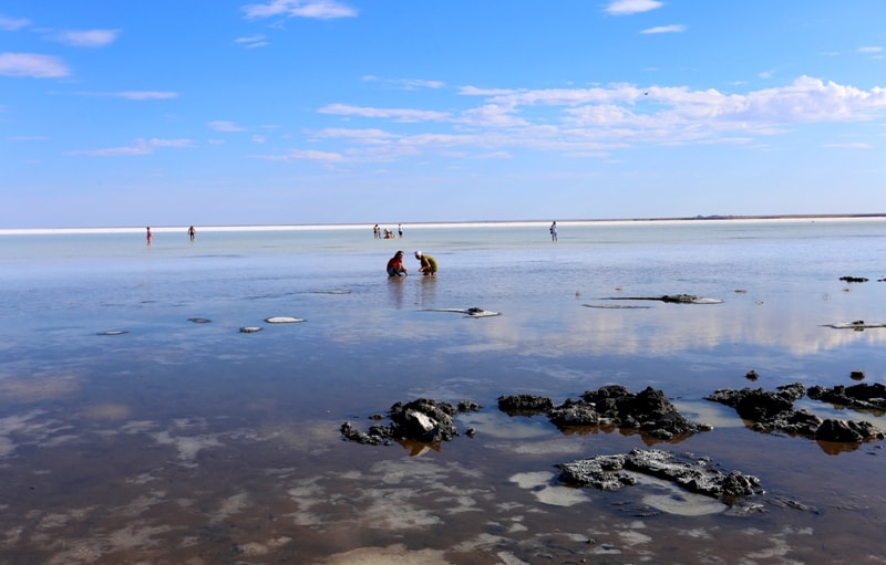
Inder Lake is fed by 32-salty cold springs, one of which is Asche-Bulak (22.5 l / s) - located on the north-eastern shore of the lake, the source is healing. The total production rate of all sources is approximately 35.25 liters per second, or 1.1 million liters per year.
It is assumed that the sources originate in ice caves, where ice lies all year round, this was confirmed by Astrakhan speleologists who conducted studies of the surrounding caves from 1998 to 2015. The legendary source “Kyz auliye” (“Holy Girl”) is well known, often women spend night at this source, who hope that God will help them wait for the child.
The circle of Indera is up to 70 kilometers.
Tourists who have visited the Inder Mountains will take away samples of fossils - sea urchins, shells, corals. Inder Lake surroundings are the Inder Mountains, composed of gypsum, marl, and limestone. The mountains have a length of about 40 kilometers in width and not more than 10 kilometers, the highest height of the mountains 52 meters above sea level.
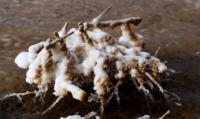
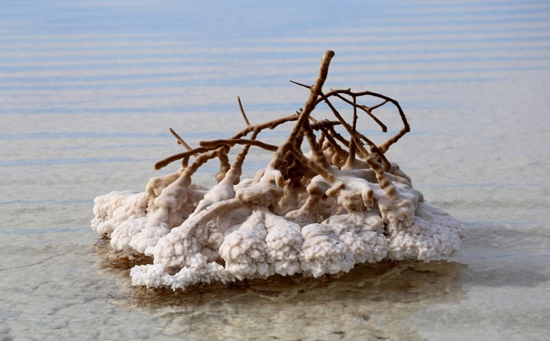
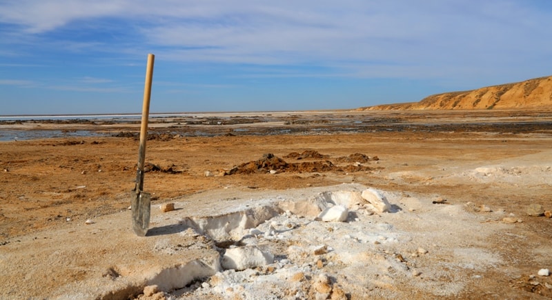
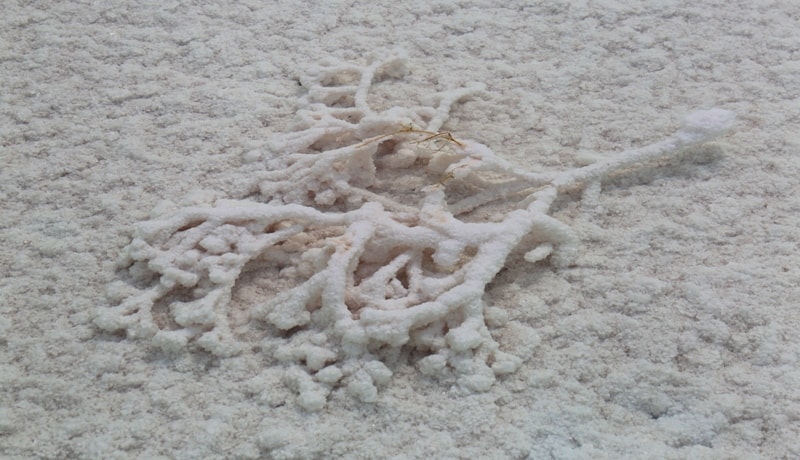
Lake waters contain high quality salts such as potassium, bromine and boron. Salt production was carried out (information for 2017). The thickness of the salt layer in some places reaches 10 - 15 meters. Inderbor's salt mountain formations contain 16 elements of the periodic table.
The northern part of the Inder Lake is protected by the Inder Mountain, and the southern, more gentle, passes into the plain. Salt reserves are approximately 647 million tons. In the spring, a healing lake is filled with subsoil waters from springs breaking through clay layers; it becomes shallow by summer.
In the composition of lake water, bromine, potassium, magnesium, a small amount of iodine and sodium chloride were found. Mud on the coast of the lake is an indispensable tool for various diseases.
Authority:
https://ru.wikipedia.org
Photos
Alexander Petrov.