You are here
Oglan ata necropolis.
Travel to religious monuments of Mangystau.
"Monument: a structure designed to immortalize something that either does not need to be immortalized, or cannot be immortalized"
Ambrose Bierce.
Cultural and educational tours to monuments of Mangistau region.
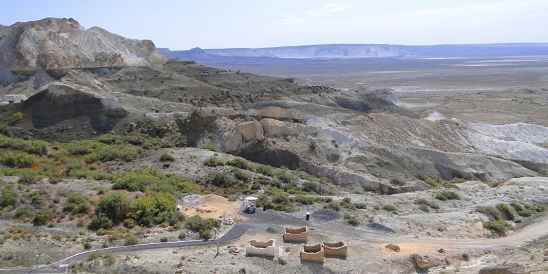
The Oglan ata necropolis is located in the eastern Oglandy valley, the central part of the Western Chink of the Ustyurt plateau, 1.1 kilometers to the east and slightly south of the Beket ata underground mosque, 19 kilometers to the north and slightly west of the Boszhira valley, 56 kilometers to the east and slightly north of the underground mosque Shopan ata, 103.1 kilometers (in a straight line) northeast of the city of Zhanaozen in the Karakiyan region, in the southeastern part of the Mangistau region.
The Oglan ata necropolis is a vast necropolis located in the Oglandy valley, on the flat, gentle slopes of two ravines and consists of burials of various periods dating from the XVIIth to the beginning of the XVIIIth centuries.
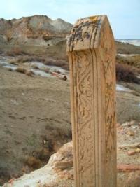
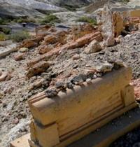
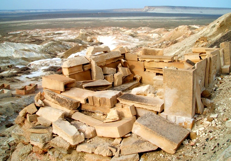
The necropolis stretches along the hill, its most ancient and visible on the modern surface part is represented by burials marked by stone masonry of rough stone with vertically installed roughly worked slabs, simple enclosures, stone boxes-sandyktases.
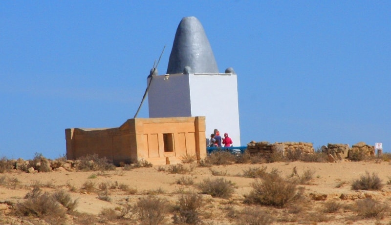
In the XIXth century, simple saganatams and kulpytas appeared on the necropolis, the surface of the walls covered with highly artistic ornamental carvings. The modern mausoleum was erected over the grave of Oglan ata and is located at the entrance to the necropolis and has simple architectural forms and a non-standard shape of an elongated dome.
There is a legend-story about Oglan ata:
"Ogylandy" in translation from Turkmen means a child, a child. According to legend, among the tribes of Turkmens who roamed here, a large number of children died in one year due to an epidemic of one of the infectious diseases.
All of them were buried in one cemetery, which was later named Oglandy, i.e. Baby. Even during his lifetime, Becket Ata bequeathed that pilgrims, before worshiping him, visit this place, which the locals also consider holy.
According to another legend, the prophet Yafis named his son Yafis-Oglanli and made him the leader of the whole people.
S. Polyakov notes that the word "oglan" is often found in this region, and the last person who was so called is the father of Tokhtamysh Khan, who was the ruler of Mangistau in the 50s and 60s. XIV century - Tuyekozha oglan (Toykozha-oglan).
Abish Kekilbaev suggested that Oglan in Mangistau is possibly connected with Tuykozha oglan.
The necropolis was discovered and surveyed by the expedition of the Kazproektrestavratsiya Institute of the Ministry of Culture of the Kazakh SSR in 1980, an additional survey was carried out by the staff of the Mangistau State Historical and Cultural Reserve.
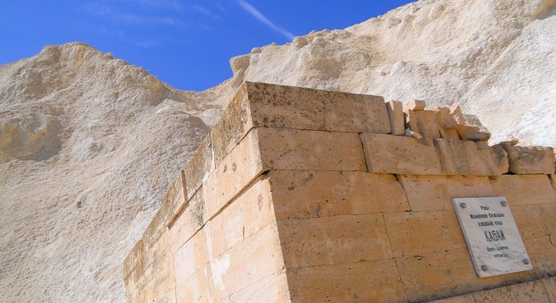
Currently, by decree No. 3 of the akimat of the Mangistau region dated January 5, 2018, it was included in the State list of historical and cultural monuments of local importance. At present, the necropolis includes: an ancient underground mosque, carved out in a rocky cape massif, a sacred spring, central domed mausoleums with helmet-shaped domes; kulpytasy, besik-tasy, grave slabs.
Geographic coordinates of the Oglan ata necropolis on the upper part of the Western Chink of the Ustyurt Plateau: N43 ° 35'46.63 "E54 ° 05'05.42"
Geographic coordinates of the Oglan Ata necropolis near the Beket ata underground mosque: N43 ° 35'49.59 "E54 ° 04'13.81"


Authority:
1. Materials of the archive of GU MGIKZ;
2. "Manystau Um Kazaktyk Epiya Shezhiresi" Mukhambetkarim Kozhyrbayuly, Almaty 2013;
3. Materials of the survey by the expedition of the institute "Kazproektrestavratsiya" of the Ministry of Culture of the Kazakh SSR 1980. Archive of the RSE "Kazrestavratsiya", Almaty.
https://mangystau.inmap.kz/ru/places/?title=zahoronenie_oglandyi_ata_602
Photos by
Alexander Petrov.


