You are here
Mount Panorama.

Tourist routes in Kim Asar gorge.
"Hello, gloomy days,
Mountain sun, farewell!
We will forever keep
This land in our hearts…"
Yuriy Vizbor.
Peaks in upper reaches of Kim Asar gorge.
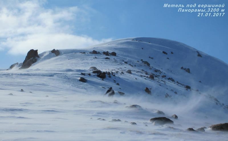
Mount Panorama, 3,260 meters above sea level, is located in upper reaches of Kim Asar gorge, 764 meters south of Furmanov peak, on northern slope of Zailiysky Alatau ridge in Talgar district of Almaty region.
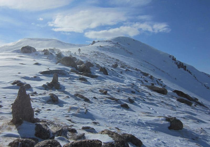
The classic route to Mount Panorama runs along the western ridge of the Kim Asa gorge, which begins with a saddle in the western ridge, in the Kachel area. Then the path lies through the Furmanov peak, 3,053 meters above sea level. Furmanov offers a view of Mount Panorama, and a trail has been laid here and there that will not let you stray from the right path.
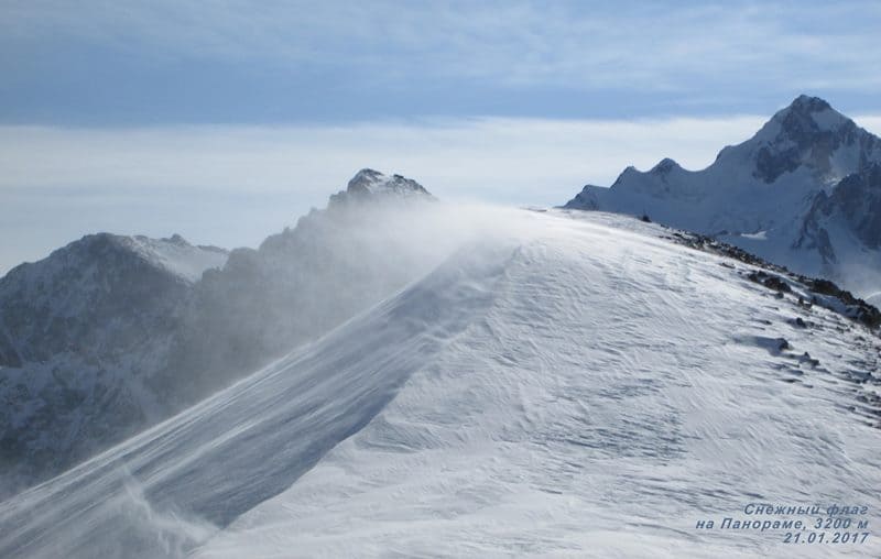
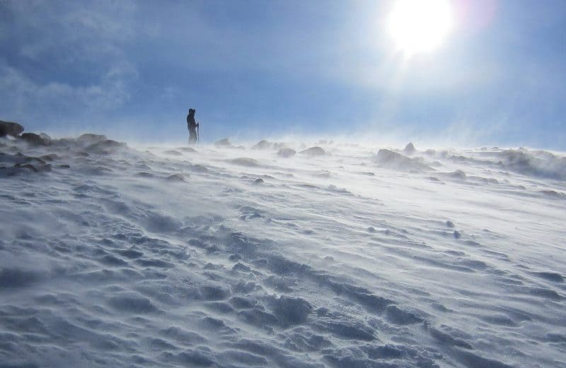
The further path goes along the western ridge to the summit. The views from the mountain justify its name, a visible circular panorama of the Zailiysky Alatau ridge, the northernmost spur in the Northern Tien Shan system, really opens up.
From here, perspectives open up to the peaks of the Bolshealmatinsky, Maloalmatinsky and Left Talgar gorges. A grandiose view of the northern and northwestern walls of Talgar Peak opens up. The panorama of Almaty is as if in the palm of your hand with dark clouds stretching from east to west.
Geographical coordinates of Mount Panorama: N43°08'34 E77°07'00


Authority:
Alexander Petrov.
Photos by:
Sergey Mikhalkov.


