You are here
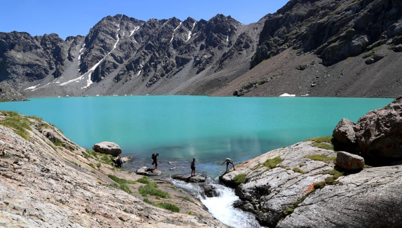
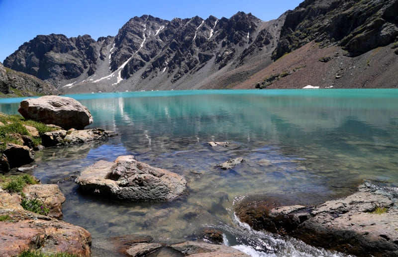
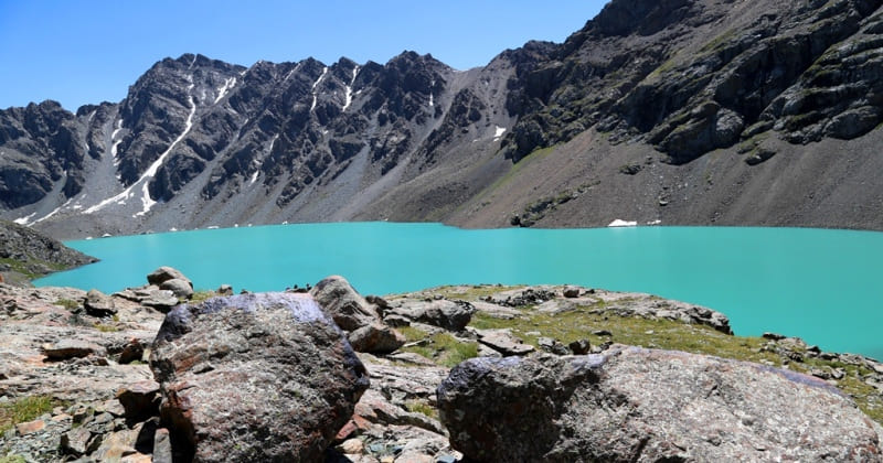
Ala-Kel lake in Terskey Ala-Too.

Walk on lakes in mountains Terskey Ala-Too.
“Nature is wise. You can learn everywhere and from everything”
Leonardo da Vinci.
Terskey Ala-Too tours.
High-altitude, flowing, fresh lake Ala-Kel is located at an altitude of 3532 meters above sea level, located in upper reaches of Ala-Kel River, in Terimtor spur, on northern slope of Terskey Ala-Too ridge in Ak-Suu district in east of Issyk-Kul region.
The lake is located in the basin of the right tributary of the Karakol River. The length of the lake from north-west to east is 2.8 kilometers, the greatest width in the eastern part is 650 meters, the perimeter is 6277 meters, the area is 1.28 square kilometers, the catchment area is 9.46 square kilometers.
The lake is of dammed origin, formed as a result of damming up the river valley by a mountain avalanche. In configuration, it repeats the trough valley, the depths of the lake increase from the headwaters to the dam. Regarding the regime, it belongs to flowing lakes.
From the western part of the lake flows the stormy and high-water river Ala-Kel with a length of 4.5 kilometers, which is the right tributary of the Karakol River. The mouth of the river is located at an altitude of 2475 meters above sea level.
In the watershed ridge in the northeastern part of the lake, there is the Ak-Kel Severny pass, 3858 meters above sea level. A trail leads from the pass to the Keldeke gorge and further to the Arasan river. The lake receives its main food from the glacier located in the southeastern part of the lake.
In the upper reaches of the glacier, there is the Alakul-Kyra peak with a height of 4322 meters above sea level. The discharge from the lake is carried out through the body of the natural dam in the western part.
Geographic coordinates of Lake Ala-Kel: N42°18'59 E78°32'00


Authority:
Alexander Petrov.
«Issyk Kul. Naryn» the encyclopedia, Frunze, 1991. "Kirghizia", publishing house "Idea", Moscow, 1977.
Photos by
Alexander Petrov.


