


![]()
You are here
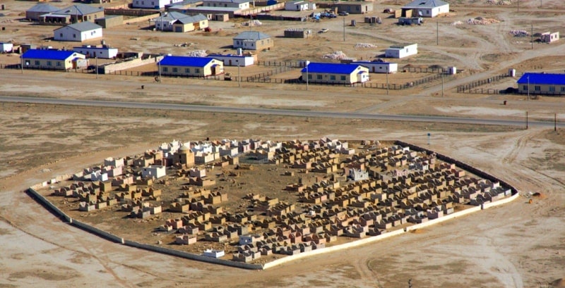
Turan lowland.
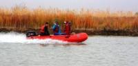

Silk Road Tours Kazakhstan.
"The result of all my enhanced searches was that I resolutely did not find any volcanoes, nor true volcanic phenomena, nor even volcanic rocks in the Heavenly Range."
Semenov Tian-Shansky. "Geography of Asia."
Best destinations Kazakhstan.
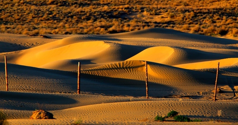
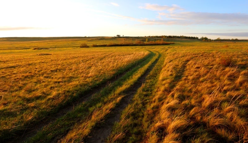
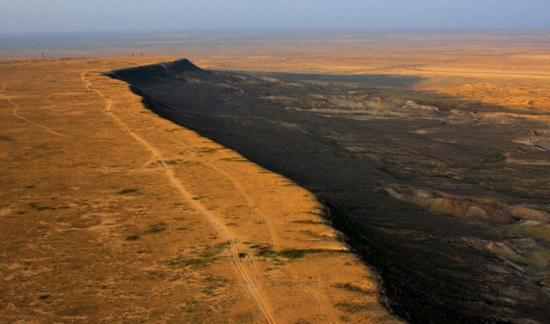
The Turan lowland is a wide plain stretching from west to east in Kazakhstan. On its territory there are lakes Balkhash and Alakol, Mangystau plateau, Ustyurt, Turgai plateau, Aral Sea, Syrdarya river, Kyzylkum sands, Betpakdala, Moyynkum sands.
Judging by the relief of the lowland, the geological history, its formation is complex and diverse. The main foundation of the Turan lowland is the young Epigercin platform formed in the Paleozoic. In the formation of the lowland relief, an important role is played by denudation - accumulative alluvial processes.
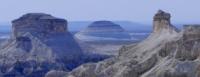
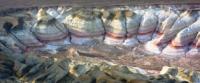
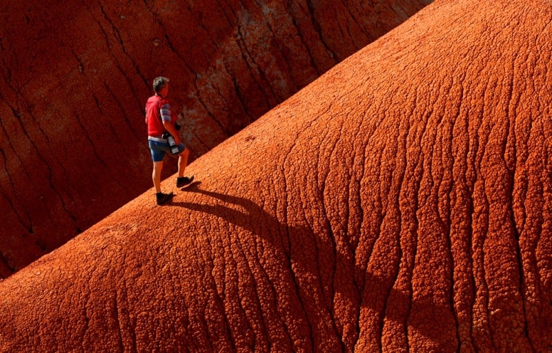
Mangystau low mountain region. The highest point of Karatau is Besshoky (555 m). The slopes of Karatau are divided by gorges and hollows in the form of hilly hills. Only the ridge looks steep, bare, rocky. Between the Mangystau Peninsula and the Aral Sea there is a hilly plain - the Ustyurt Plateau.
Its height is 200-300 m, area - 170 thousand km2, length - 600 km, width - 300 - 400 km. The plateau enters the territory of Kazakhstan only with its northwestern part. Its relief is smooth, composed of shells - oolitic limestones, puff and clay-silicon marls and white limestones with clay. In some places, there are dried basins of lake depressions covered with sand (Sam, Asmantai, Matai).
There are no surface waters.
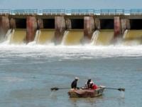
In the Turan lowland, minerals such as oil, gas, and building materials are mined. Mangystau is one of the main oil regions of our country. Oil produced at the wells of Uzen, Zhetybai is transported through seaports to other regions of Kazakhstan.
In Mangystau and in other areas, deposits of iron, copper, phosphorite, and manganese have been discovered. Charcoal was found on the territory of the Turgai plateau and the Ili River basin. In the bowels there are large reserves of clay, sand, gravel.
Light granite B
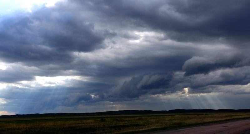
The climate of the Turan lowland is characterized by a dry and sharply continental climate. Summer is hot and winter is cold. The average January temperature in the north is 18 ° C, in the south -2 ° C. In winter, cold Arctic air masses and Siberian anticyclone often penetrate the territory.
At this time, the temperature drops to -30 - 40 ° С, and in the warm season the average temperature in July in the north is + 22 ° С, in the south + 29 ° С. Often dry winds. In spring and autumn, there is relatively much rainfall. The river network of the Turan lowland is poorly developed.
Amu Darya and Syr Darya originate outside the territory of Kazakhstan. After using their waters for agricultural purposes, a very small amount of river water flows into the Aral Sea. Recently, the Syr Darya practically does not reach the sea. The condition of the rivers, Chu and Talas is also similar to these rivers.
They reach Kazakhstani territory with a small amount of water, and therefore do not fully provide the water needs of Moyynkum and Betpak-Dala. The rivers of the Turgai plateau Turgai, Irgiz, Ulyzhylanshyk dry up in the summer, turning into old people, small lakes, or remain in the sands. In the lower reaches of the rivers there are such lakes as Ubagan, Shalkar, Shalkarteniz, Akkol, Sarykop.
Many of them are salty. Zhetysu rivers - Ili, Karatal, Aksu, Lepsy, Tentek - freshwater. Over the course of a year, their stock also decreases. Reducing the flow of rivers in the Turan lowland complicates the ecological state of the Aral Sea and Lake Balkhash. The Aral Sea begins to dry out.
The water level in Balkhash is also falling. In solving the water problem of the Turan lowland, groundwater is of great importance. Here, groundwater is located at a depth of 20 - 50 m, and artesian waters are even deeper. In the desert, drinking water and water used for the needs of the economy are extracted from the ground.
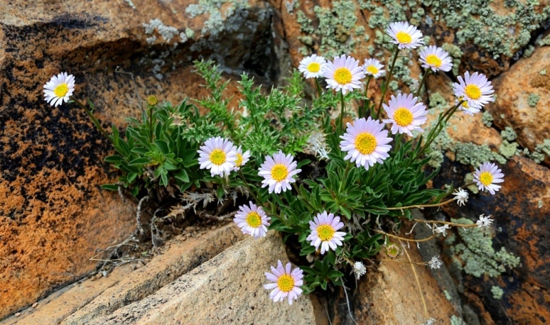
Flora and fauna of the Turan lowland. Only the north of the Turan lowland - the Turgai plateau is included in the dry-steppe and semi-desert zones, and the rest of it fully belongs to the desert zone. Soil and land cover development corresponds to them.
On Turgai dark chestnut soils, fescue and white feather grass grow. The soils of the semi-desert steppe, extending to the south, are usually light chestnut. They correspond to vegetation from wormwood and kokhiya. Turanian desert territories belong to the northern and southern type of deserts.
The northern type of desert is developed in the Northern Aral Sea region, Betpakdal, Moyynkum, Balkhash-Alakol depression. On their brown and chestnut soils wormwood and solonchak plants. They mixed Turanian plant species characteristic of Central Asia and the Central Asian deserts (red wormwood, teresken, wheatgrass, zhuzgun, tamarisk, buoyan, itsigek, boyalych, saxaul, black saxaul, black wormwood). Compared with desert vegetation, they grow better on sand dunes.
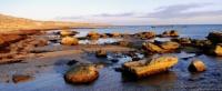
The clay shores of salt lakes and takyrs are mostly without vegetation. In the river valleys, few meadow grasses grow. In Mangystau and Prisyrdarya (Kyzylkum), which belong to the southern type of deserts, serozem prevail. They grow ephemera and wormwood, solonchak grasses.
In Syr Darya there are a lot of irrigated lands. The main territories of the Turan lowland are favorable for the development of animal husbandry. Sown land is found only in the north of Turgay. The remaining territories are used for pasture.
n the clay deserts of the Turan lowland, saigas and gazelles live.
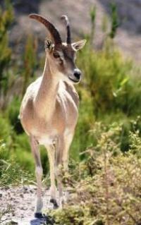
On Ustyurt there are mouflons. From predatory animals live wolves, foxes, dune cats, caracals. Jerboa, mice, lizards, turtles, snakes, and other reptiles characteristic of desert zones are often found. Muskrats live in the floodplain of the Ili River.
Since the nature type of the Turan lowland is deserted, its ecological state is unstable. There are often dry winds - sultry dust storms. The decline in the water level of the Aral Sea complicates the situation, salts and solonetzes from the bottom of the dry sea are carried away by the wind and cover the surroundings, increase saline areas.
This situation threatens the life of animals. There are facts of the death of saigas and kulans. In order to protect nature from such disasters, nature reserves are organized. One of them - the Barsakelmes Nature Reserve (1939), was located on the Barsakelmes island in the Aral Sea. Its area was 18.3 thousand ha.
Due to the drying up of the sea, all animals left Barsakelmes, the office of the reserve continues its work, but the reserve, as such, no longer exists. In 1984, the Ustyurt reserve was organized in the Mangistau region. Its area is 223.3 thousand ha. It is home to 45 species of mammals, 220 species of birds.
The reserve is home to such rare species of wild animals as mouflon (eastern ram), caracal, sand dune, lynx, leopard, gray saiga, etc.
Authority:
A.G. Isachenko, A.A. Shlyarnikov. The nature of the world. “Landscapes”, Moscow, “Thought”, 1989.
Photos by:
Alexander Petrov.