You are here
Aktau ridge in Uzbekistan.
Nature of Uzbekistan.
“Beauty is a manifestation of secret natural laws, which otherwise would have been hidden from us forever”
Johann Wolfgang von Goethe.
Natural sights of Uzbekistan.
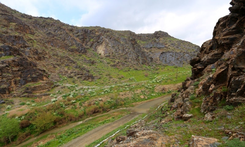
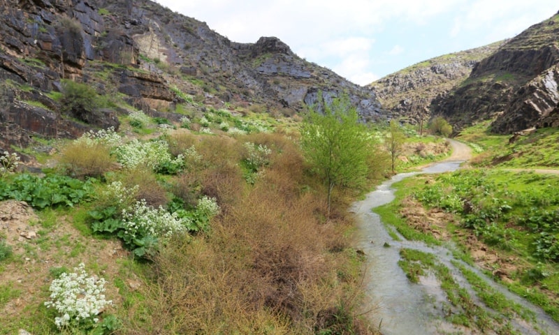
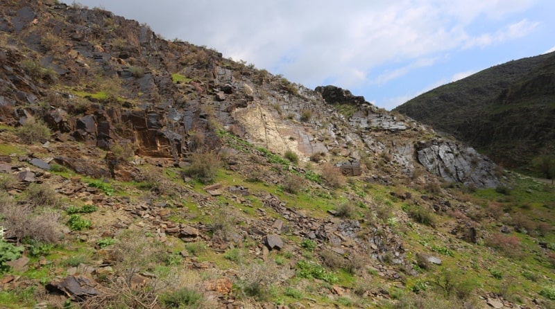
The Aktau mountain range is located in the Navoi and Samarkand regions of Uzbekistan, a mountain range that forms the main part of the South Nurata ridge as part of the Nuratau ridge. Aktau mountains are located in the southern part of the Nurata mountains.
The ridge stretches for 87 kilometers in the direction from the south-east to the north-west. Occupying an area of 1340 square kilometers, it forms the main part of the South Nurata ridge. The chain is separated from the Northern Nurata ridge (Nuratau proper) by the Nurata depression.
In the east, Aktau is adjoined by the Karakchitau (Karachatau) mountains, delimited by the Aktepasai river valley, and the Karatau mountains in the south-west. In the west, Aktau comes in contact with the Kyzyl Kum sands.
The mountains have an average height of 1000 - 1300 meters above sea level, in the north-western part - 600 meters above sea level, lowering and merging with the plain. The relative height of the ridge, along which the main watershed passes, fluctuates in the range of 400 - 800 meters above sea level for the northern slope and 600 - 1000 meters above sea level for the southern one.
The main ridge forms rocky peaks: Shirkatar, 1693 meters above sea level, Akchoki (Akchoki), 1404 meters above sea level and the highest point - Takhku peak, 1993 meters above sea level. These mountain peaks are interspersed with steep depressions with heights ranging from 900 - 1150 to 1400 - 1750 meters above sea level.
Aktau includes several small ridges: Bakhiltau, Pistali, Dzhultali, Aktash and others. The Aktau ridge is a Hercynian anticlinal structure that has risen under the influence of new Paleozoic movements. The mountains included in it are composed of limestone, shale and granite.
The climate is sharply continental. In the extreme western part of the ridge, over 250 mm of precipitation falls per year, in the extreme eastern (at an altitude of 720 meters above sea level) - over 450 mm. Precipitation is more abundant in the upper zones of the mountains.
The ridge has a large number of karst springs, which are the main source of river feeding (especially in summer). The rivers of the Zeravshan basin, its right-bank part: Zarbandsay, Kuruksay, Andak, Tasmachi, Maidan, Altynsay flow down from the southern slope of Aktau.
On the northern slope, there are gorges, rivers and streams, which are filled with water mainly in the spring months. The mountain slopes are covered with typical gray soils, dark gray soils and mountain chestnut soils.
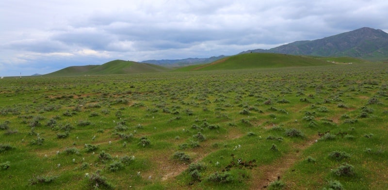
The flora includes ephemera and ephemeroids, including herbaceous plants: wormwood, tartar, zopnik, wheatgrass, fescue, tall steppe grasses. Among the trees and shrubs, there are pistachio, almonds, rose hips, hawthorns, honeysuckle.
The mountain range contains deposits of granite, marble and feldspar. Aktau meadows are used as mountain pastures (dzhailau).
Authority:
https://ru.wikipedia.org/
Photos by
Alexander Petrov.


