You are here
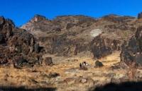
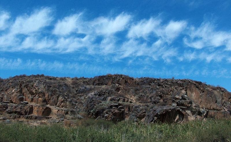
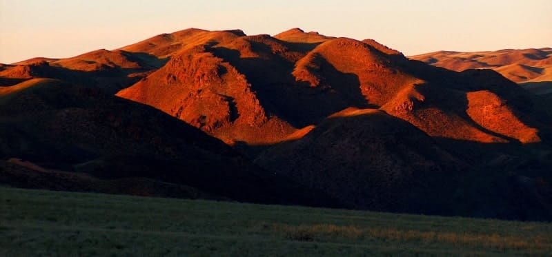
Chu-Ili mountains.
Observing excursion tour in Astana.
“Beauty is a manifestation of secret natural laws, which otherwise would have been hidden from us forever”
Johann Wolfgang von Goethe.
Familiarization tour in Turkestan.
The Chu-Ili mountains are located between the Kopa valley in the east and the Chu river valley in the west, they are located on the territory of the Zhambyl district of the Almaty region and the Kordai district of the Zhambyl region.
In the northeast, the mountains border on the latitudinal Kastek ridge and the gorge of the Kastek river, extending from the western spurs of the Northern Tien Shan ridge, in the northeast, the Chu-Ili mountains start from the Akkuduk mountain range with a dominant height of 943.7 meters above sea level.
The Chu-Ili mountains stretch from southeast to northwest for 155 kilometers, the greatest width in the central part reaches 54 kilometers. The mountains are located in a system of ridges separated by intermountain depressions, the low-mountain and low-mountain relief is combined here with the plains framing it.
In the northwest are the Akkuduk Mountains with a dominant peak 943.7 meters above sea level, here a little to the east are the Alama Mountains with a dominant nameless peak 1098 meters above sea level, in the north of Mount Shokpar with a dominant, nameless peak 873.8 meters high. meters above sea level.
In the central part, in the east of the ridge, there are the Kendyktas mountains with a dominant, nameless peak 1519.8 meters above sea level. The Kendyktas mountains are located 14 kilometers southwest of the Kulzhabasy mountain between which the Kopa valley is located.
In the western part are the Tarlygan Mountains with a dominant peak 986 meters above sea level. In the southeast of the Kendyktas mountains, there are the latitudinal Degeres-Kordai mountains with a dominant, nameless peak 1384.1 meters above sea level.
Behind them, small Kulakshyn mountains stretched to the southeast with the highest elevation of 1790.2 meters above sea level. Behind him lies the Aktas ridge with a dominant peak 2123.8 meters above sea level. To the southeast lie the Atzhailau mountains with the dominant Al-Tash peak 2405.2 meters above sea level. In the south of the Chu-Ili mountainous country, there is a vast and high Zhetyzhol ridge with a dominant Bugymuyiz hill 2876.6 meters above sea level.
To the east of the Zhetyzhol mountains lie the small Suyktobe mountains with the dominating Suyktobe mountain of the same name at a height of 3267.7 meters above sea level. The Chu-Ili mountains are low-mountain-small hills - peneplanized territories of the ancient mountain system.
The relief is mostly low mountains, located in groups or small mountain ranges, composed of rocks of the Cambrian and Devonian ages. Small hills are widespread over a large area. Between mountains and hills, vast flat valleys and flat spaces stand out.
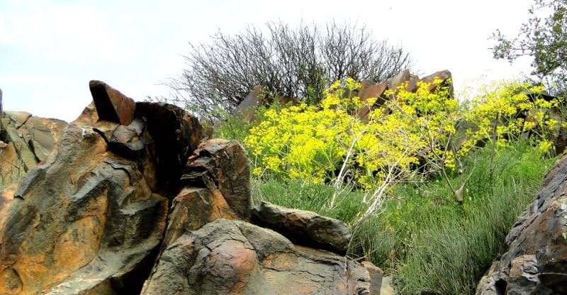
The Chu-Ili mountains were formed from Precambrian metamorphic rocks and thick layers of gneiss. Their surfaces are composed of sedimentary-effusive rocks of the Lower Paleozoic - shales, sandstones. The slopes of the mountains are dry, dissected by deep gorges, the terrain is flat, behind them is the Betpak-Dala plateau.
They are typical of preserved fragments of ancient leveling surfaces and depressions, bordered by steep mountains, on the periphery turning into small hills, composed of intrusive and effusive-sedimentary rocks.
The area is characterized by complex geological. geomorphological and neotectonic structure. The main factors that had a decisive influence on the formation of the modern low-mountain-small hilly relief of the Chu-Ili region were the long-term continental regime in the Mesozoic and Cenozoic with its characteristic intense denudation and the formation of extensive denudation plains (peneplain).
The latest tectonic movements of the earth's crust in the Neogene-Quaternary period led to intense processes of mountain formation. At this stage, the formation of the Chu-Ili mountains took place. Ashchysu, Kopylysay, Zhingildy rivers originate from the slopes of the Chu-Ili mountains.
Tesik, Kakpaktas and others, which are filled with water only for a short time (in spring), in summer they turn into dry logs or stony channels. Stone Age people inhabited the Eastern Chu-Ili from about the fifth millennium BC to the beginning of the second millennium BC.
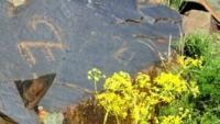
This is evidenced by Neolithic stone artifacts and one of the oldest archaic rock paintings in Kazakhstan dating back to 3000 BC. At the end of the second millennium BC. e. (the end of the Bronze Age) Sakas, related to the Aryans, appear and settle here for a thousand years.
In the II half of the first millennium BC. e. Turkic-speaking Usuns migrated to Semirechye (Zhetysu). In the first and second millennia of our era, the region was subjected to migratory waves of other Turkic as well as Mongolian tribes.
In the Chu-Ili mountains, there are numerous petroglyphs and burial places of the peoples who lived here, the ruins of their dwellings, cattle pens, the remains of reclamation structures, tours on the peaks. The largest archaeological centers of this region are the tracts of Almaly, Karakyr, Kogaly, Kopalysay, Tanbaly and the ridge of Kolzhabasy, Khantau.
The winter is cold, the summer is hot, the average annual precipitation is 200 - 400 mm. Until mid-autumn in the Chu-Ili mountains, the weather is warm and dry; rains begin only in the second half of the season. Autumn is short, with a quick transition to winter.
During this period, the valleys resume their flow, but less than in spring, and the direction of movement along the roads is close to spring time.
Geographical coordinates of Chu-Ili mountains: N43°29'58.85" E74°47'20.13"





Authority:
M. Zhandayev. N. A Gvozdetsky, Yu. N. Golubchikov. "Mountains", World Nature series. Moscow, "Thought", 1987. http://www.paleokazakhstan.info
Photos by
Alexander Petrov.


