You are here
Complex of Ak-Baur.
Travel to Eastern Kazakhstan.
“The distance of time’s separation brings us remnants of memories so ancient that most are lost in the mists of illusion…”
A.J. Vosse.
Tour and walking in Kazakhstan.
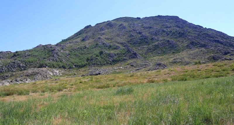
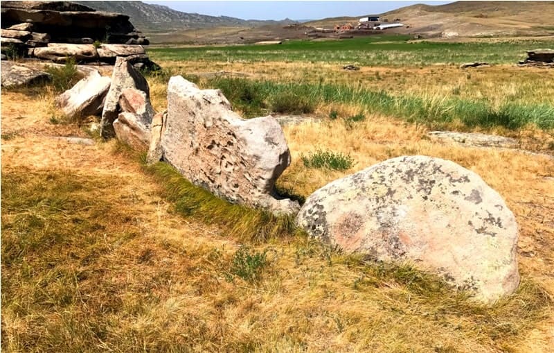
Ak-Baur complex is located at an altitude of 505 meters above sea level, located in upper reaches of Ak-Baur stream, on Mount Korzhimbay, in Kalba Mountains, 2.1 kilometers east of right bank of Urunkay River, 4.5 kilometers south and a little east of village of Sagyr (former village of Leninka), 4.4 kilometers north and a little east of village of Besterek, 32.2 kilometers south and a little east of town of Ust-Kamenogorsk, in Ulansky district, in East Kazakhstan region.
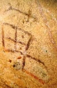
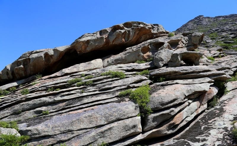
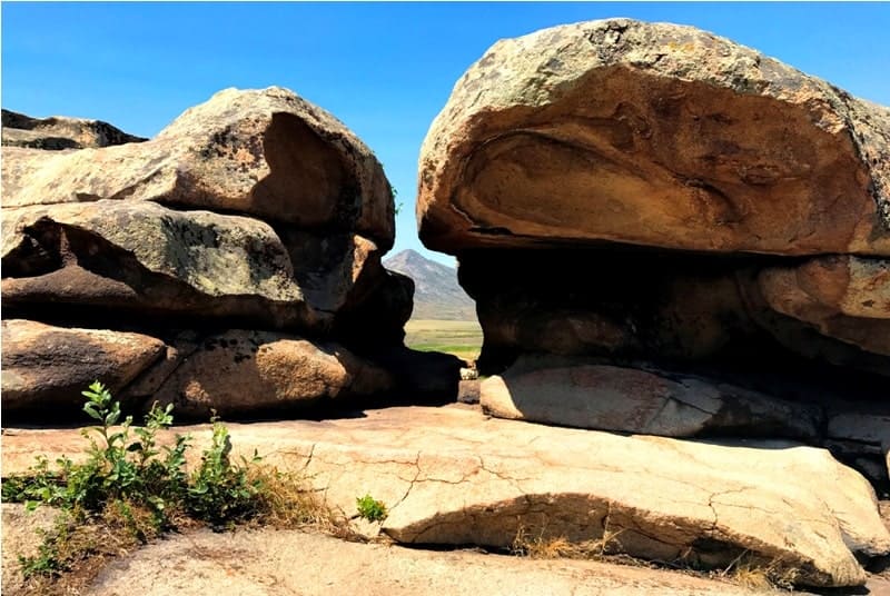
One of the most unique cultural monuments of Rudny Altai is Ak-Baur. Ak-Baur got its name from the hill of the same name and a grotto with a natural hole “on the roof” and paintings inside. The word "Ak-Baur" is sometimes literally translated as "white liver
In the modern Kazakh language, the word “bauyr” has a figurative meaning - younger brother, and it can be associated with the concept of “younger”, “smaller”, since next to the low Ak-Baur hill there are the Kyzyl-tas (Red Stone) mountains. The Ak-Baur grotto seems to “look” to the west, and if you watch the sunset from it, the Kyzyl-tas mountains really seem red.
Geographic coordinates of Ak-Baur complex: N49°40'51 E82°41'05



Authority and photos
Alexander Petrov.


