


![]()
You are here
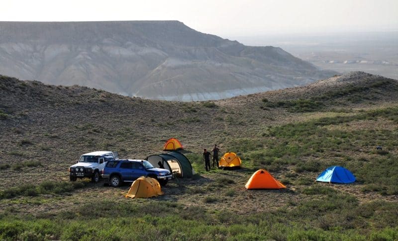
Eastern Karatau Ridge.
Tour to Eastern Karatau Ridge on Mangyshlak.
“Having drastically rushed forward, in lonely solitude, I lost the road to the finish and now I was the last to stumble”
Hannibal.
Custom trip Aktobe to Aktau.
East Karatau ridge is located in the central part of the Mangyshlak peninsula in the Mangystau region of the region of the same name. The Eastern Karatau ridge is the highest massif of the mountainous Mangyshlak. Its elevations range from 380 to 480 meters above sea level.
The highest point - Mount Besshoky - rises to 556.1 meters above sea level. To the west of Mount Besshoky rises Mount Zhalpakshi, 530 meters above sea level, and in the north, 1.5 kilometers, Mount Northern Besshoky, 517.6 meters above sea level.
The eastern part of the Eastern Karatau is the most dominant rock massif, here at the greatest distance of 5 kilometers there are four peaks over 500 meters above sea level. The ridge is extended for 54 kilometers in the sublatitudinal direction with a width of about 13 kilometers in the central part.
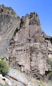
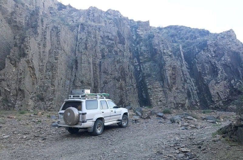
Eastern Karatau has very steep slopes, almost vertical in places. The slopes are heavily cut by deep ravines. Its peaks are a peneplanized ridge-hilly surface with manes of dense rocks, elongated parallel to each other and rising 5 - 10 meters above the plain.
Separate conical peaks rise above the peneplain by 50 - 100 meters (mountains Zhalpakshi, Besshoky, Northern Besshoky, and others). The northern and southern macroslopes of the ridge are very steep, stony-gravelly, with outcrops of bedrock, indented by numerous canyon-like gorges, deep ravines, logs.
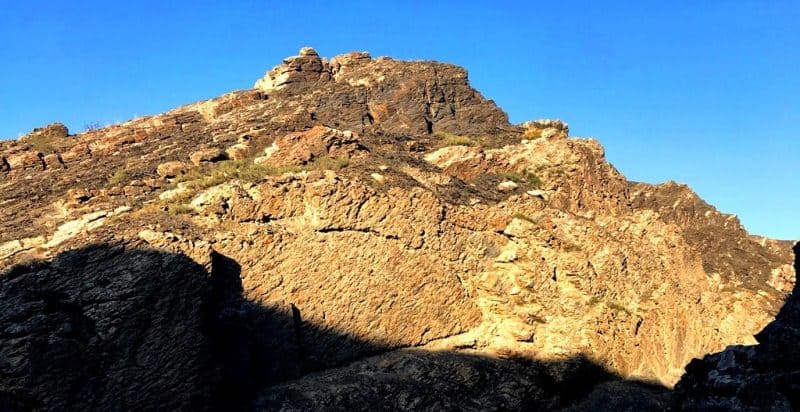
The lithological composition of the rocks that make up East Karatau is very varied. It is represented by a variety of sandstones, siltstones, shales, with a predominance of one or the other rocks. In the central and eastern parts of the Eastern Karatau mountain range, the peak has an even more complex relief.
Along with small ridges, there are many higher cone-shaped peaks, some of which are stony-blocky, rocky (including Mount Besshoky). In the western part of the ridge, at its beginning, near the western slopes, there are settlements of Shetpe. Kosbulak, Ausar.
In the northwestern part, the dominant elevation is Mount Karadermen, 316.7 meters above sea level. North Aktau ridge rises 5 kilometers northeast of the East Karatau ridge. The southeastern part of the ridge ends at an acute angle with an elevation of 265.6 meters above sea level.
The southeastern and northern slopes of the ridge abound with springs with a flow rate of 10 to 1000 liters per hour, these are the springs of Zhaksytamdy, Zhamantamdy, Ushkuz, Zhamanushkuz, Akbulak, Sauran, Zhamansauran.
7 kilometers from the village of Zharmysh to the east, on the northern slope of the ridge, there is a small reservoir, which is used for local livestock.
Geographical coordinates of East Karatau Range on Mangyshlak Peninsula: N44°07'52.88" E52°17'48.28"

Authority:
I.N.Safronova. "Mangyshlak desert" (sketch of vegetation). St. Petersburg, 1996.
Alexander Petrov.
Photos by
Alexander Petrov.