







You are here
Glaciers of Kungei-Ala-Too Range.
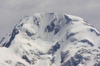
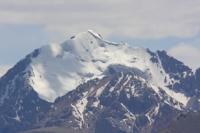
Trekking in Kungei Ala-Too mountains.
“No one comes back from a trip as it was before”
Chinese proverb.
Sights of Kungei Ala-Too mountains.
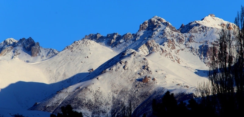
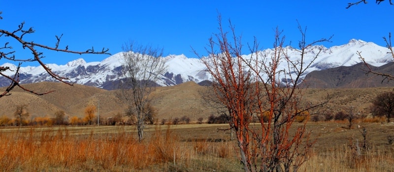
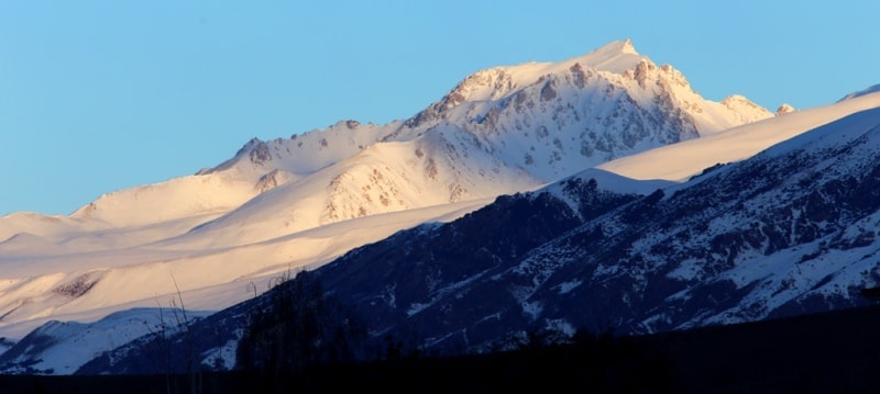
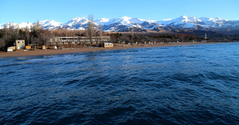
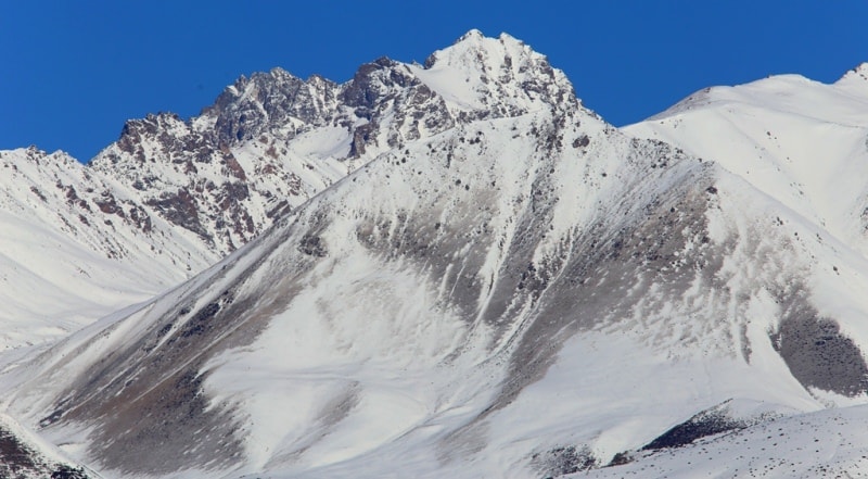
Kyungey-Ala-Too (Kungey Alatau), a ridge in the Northern Tien Shan, located in Kyrgyzstan and Kazakhstan, bordering the Issyk-Kul basin from the north. It stretches from west to east from the Boom Gorge to the source of the Charyn River for almost 200 kilometers.
Southeast of the Kungei Ala-Too spur adjoins the Terskey-Ala-Too ridge. It is connected by the Chiliko-Kemin bridge with the Zailiysky Alatau ridge, which divides the Kungei Ala-Too into Western Kungoy and Eastern Kungey. The highest altitude is up to 4771 m. a. s. l. - Chok-Tal peak.
The northern slopes are weakly dissected by short spurs and bounded by the valleys of the Chong-Kemin and Chilik rivers, the southern slopes are spurs 25-30 km long and go down to the shores of Lake Issyk-Kul. The longest span is the Kum-Bel spur with the peak of Soviet Topographers, 4,550 m. a. s. l..
The valleys of the tributaries of the Chong-Kemin and Chilik rivers rise from an altitude of 1,500 m. a. s. l.and to a height of passes of 3,960-4,000 meters above sea level, side valleys have elevations ranging from 2,000 to 4,000 m. a. s. l.
The valleys of the southern slope descend from a height of 4000 m. a. s. l. to the level of Issyk-Kul Lake, 1609 m. a. s. l..
The height of the snow line is from 3800 to 4200 m. a. s. l. The total area of glaciation is 237 sq. km. The northern slopes are covered with alpine meadows, alternating above the landscapes of the glacial-nival zone. On the southern slopes of the forest, from the Tien-Shan spruce at an altitude of 2600-2800 m. a. s. l., they pass into tall grass subalpine meadows with juniper thickets and above 3000 m. a. s. l. into alpine meadows.
The total glaciation area of the Kungei-Ala-Too ridge exceeds 237 square kilometers, the number of glaciers is 427.
The icing of the northern slope (64%) is significantly superior to the glaciation of the southern, which, however, is understandable, since more humid air masses are intercepted mainly by the Zailiysky Alatau. The rest falls in the form of precipitation on the northern slopes of Kungei-Ala-Too and only a small part on its southern slopes.
On the southern slopes of Kungei Alatau in the summer there are torrential rains in the afternoon, which come with thunderclouds from the side of Lake Issyk-Kul, but they do not significantly affect the size of the glaciers. The largest glaciation nodes are Central, Aksuysky, Syutbulaksky, Chong-Aksuysky and Choktalsky.
More than half of the glaciers are small forms of glaciation, caravan and hanging, various types of valley glaciers are widespread. The largest of them are Zhangyryk, with a length of 8.9 kilometers, South Zhangyryk, with a length of 8.0 kilometers, Atajayloo (Chon-Ak-Suu), 7.6 kilometers long, Novy, 6.4 kilometers long.
Glaciers fall respectively to heights of 3550-3600 and 3650-3700 m. a. s. l.
The total area of glaciation of the Kungei Ala-Too ridge is 237 sq. km.
The largest glaciers of the Kungei-Ala-Too ridge.
Zhangaryk Glacier in Kungei-Ala-Too ridge.
With a length of 8.0 kilometers, an area of 17.7 sq. km., located at an altitude of 3370 to 4520 m. a. s. l.l, belongs to the Chilik River Basin.
The South Zhangaryk Glacier in Kungei-Ala-Too ridge.
With a length of 8.0 kilometers, an area of 9.2 sq. km., is located at an altitude of 3370 to 4640 m. a. s. l., belongs to the Chilik River Basin.
The Novyi Glacier in Kungei-Ala-Too ridge.
With a length of 6.4 kilometers, an area of 13.2 sq. km., located at an altitude of 3370 to 4690 m. a. s. l., belongs to the Chilik River Basin.
The Chong-Ak-Suu glacier in Kungei-Ala-Too ridge.
With a length of 6.1 kilometers, an area of 8.1 sq. km., located at an altitude of 3380 to 4060 m. a. s. l., belongs to the basin of Lake Issyk-Kul.
5.2 km long Mashkovtsev Glacier in Kungei-Ala-Too ridge.
An area of 6.9 sq. km., located at an altitude of 3570 to 4490 m. a. s. l., belongs to the Chong-Kemin River Basin.
The Ak-Suu East Glacier in Kungei-Ala-Too ridge.
With a length of 4.9 kilometers, an area of 6.9 sq. km., located at an altitude of 3520 to 4338 m. a. s. l., belongs to the Chu and Chong-Kemin rivers.
The Korumduk Glacier in Kungei-Ala-Too ridge.
With a length of 4.9 kilometers, an area of 6.0 sq. km., is located at an altitude of 3350 to 4260 m. a. s. l., belongs to the Chilik River Basin.
The Chong-Kemin Glacier in Kungei-Ala-Too ridge.
Wth a length of 4.7 kilometers, an area of 11.0 sq. km., located at an altitude of 3450 to 4640 m. a. s. l., belongs to the basin of the Chu and Chong-Kemin rivers.
The Ak-Suu West Glacier in Kungei-Ala-Too ridge.
With a length of 4.6 kilometers, an area of 4.7 sq. km., located at an altitude of 3480 to 4470 m. a. s. l., belongs to the basin of the Chong-Kemin and Chu rivers.
The Kara-Kya glacier in Kungei-Ala-Too ridge.
With a length of 4.3 kilometers, an area of 2.9 sq. km., is located at an altitude of 3150 to 3980 m. a. s. l., belongs to the Chilik River Basin.
Glacier No. 529 in Kungei-Ala-Too ridge.
With a length of 4.1 kilometers, an area of 6.3 sq. km., located at an altitude of 3360 to 4600 m. a. s. l., belongs to the basin of Lake Issyk-Kul.
The Syut-Bulak glacier in Kungei-Ala-Too ridge.
With a length of 4.0 kilometers, an area of 6.4 sq. km., located at an altitude of 3480 to 4240 m. a. s. l., belongs to the Chilik River Basin.
The 4.0 km long Olonata Glacier in Kungei-Ala-Too ridge.
An area of 3.2 sq. km., is located at an altitude of 3490 to 4440 m. a. s. l., belongs to the basin of the Chong-Kemin and Chu rivers.
The Kairakty Glacier in Kungei-Ala-Too ridge.
With a length of 3.9 kilometers, an area of 2.8 sq. km., is located at an altitude of 3380 to 3240 m. a. s. l., belongs to the Chilik River Basin.
Authority:
"Glaciers." L.D. Dolgushin, G.B. Osipova. Series "Nature of the world." Moscow, the publishing house "Thought". 1989.
Photos by:
Alexander Petrov.