


![]()
You are here
Kenderli-Kayasan plateau.
What to see at Mangystau.
"Life while traveling is a pure dream"
Geographic map of Mangystau.
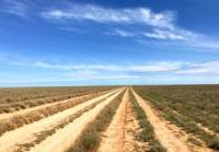
The Kenderli-Kayasan plateau is located in the south-west of the Mangyshlak peninsula in the Karakiyan district of the Mangistau region. It stretches from the southwest to the northeast, approximately from Cape Sengirli, which is located on the eastern coast of the Caspian Sea, to the northern end of the Basgurly depression for 117 kilometers.
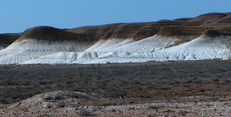
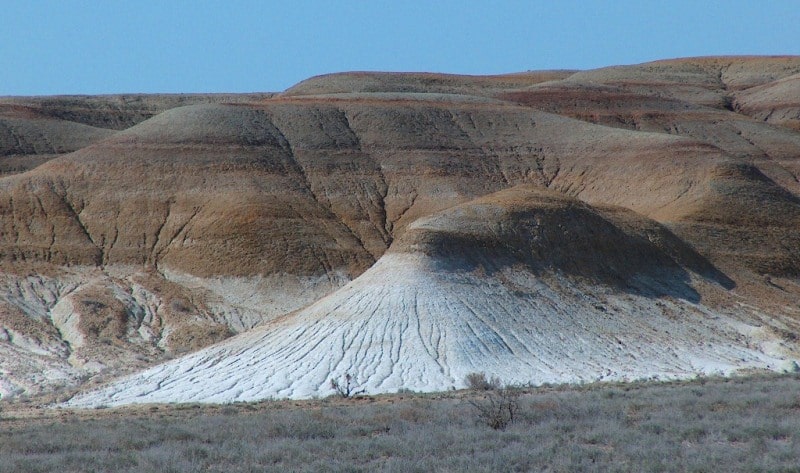
The dominant height of the Sai plateau is 176 meters above sea level. In the south and southeast on the territory of Kazakhstan, the plateau is bordered by the border with Turkmenistan, in the west and southwest, the eastern coast of the Caspian Sea in the north of the plateau is bordered by the Basgurly-Zhasgurly and Kuanda depressions.
The southern part of the plateau tends to go down to the shores of the Caspian Sea up to 80 meters above sea level, the central part is the most elevated from 151 to 176 meters above sea level, the northern part is from 136 to 140 meters above sea level.
On the limits of the plateau, the Kenderli-Kayasan State Reserve Zone was created to preserve the habitat and natural reproduction of the beauty bustard (Chlamydotis undulata) and the Saker Falcon (Falco cherrug).
Geographic coordinates of the Kendirli-Kayasan plateau: N42 ° 17'48.01 "E52 ° 56'05.84"
Authority and photos:
Alexander Petrov.