


![]()
You are here
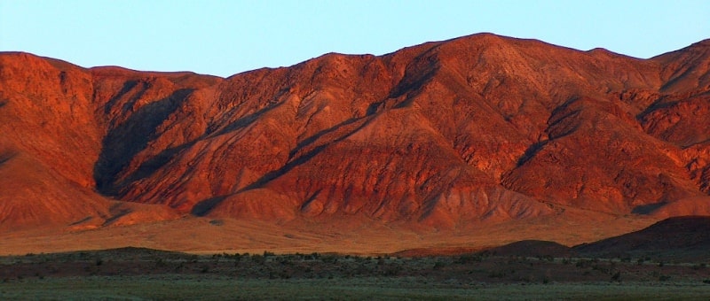
Matai Mountains.

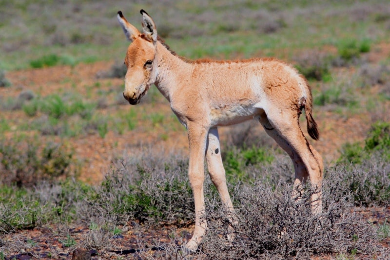
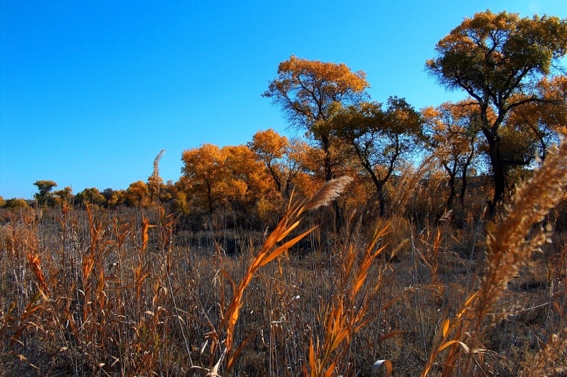
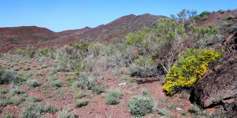
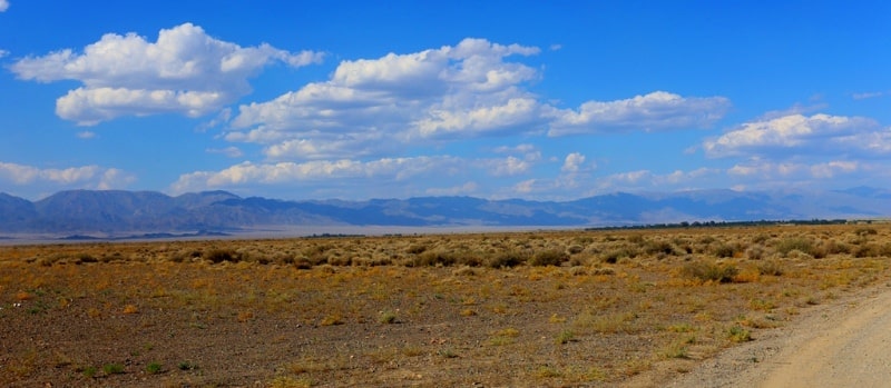
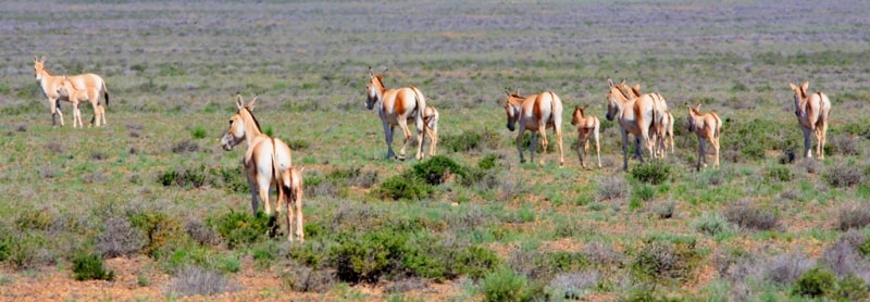
Traveling in Altyn-Emel park.
"Mountains determine not only the landscape but also the climate, serving as wind barriers and reservoirs of fresh water in their glaciers."
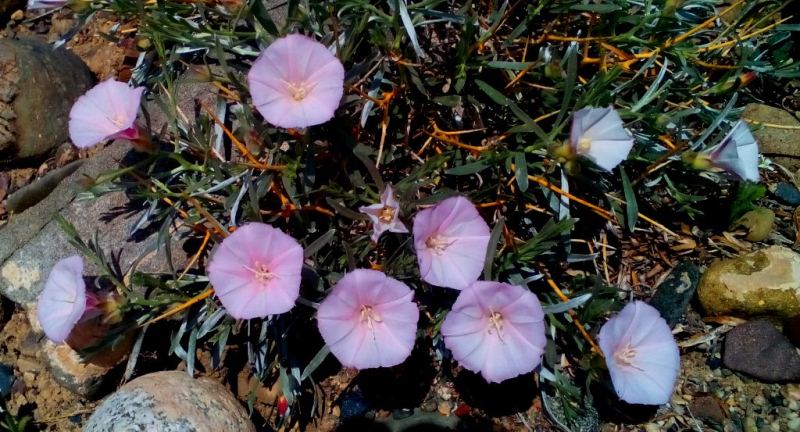
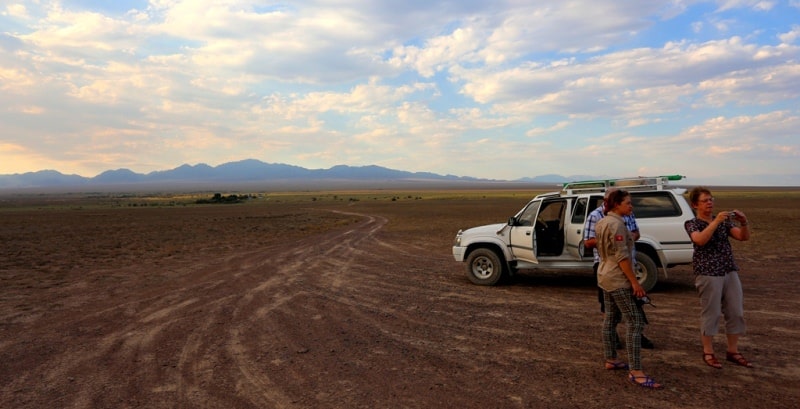
Rest in park Altyn-Emel.
Matai Mountains are southwestern spurs of Altyn-Emel Range, located north of Ili River. Their southern spurs are located within Altyn-Emel Nature Park in Kerbulak District of Zhetysu Region.
Physical and Geographical Description of Matai Mountains.
The Matai Mountains are located in a mountain range that extends from southwest to northeast, consisting of several mountain ranges – Sholak, Degeres, and Altyn-Emel. The mountain range, which encircles the Altyn-Emel Nature Park from the south, extends for 182 kilometers. Its greatest width, in the eastern part, is 23 kilometers.
To the west, the Matai Mountains border the Degeres Mountains, and to the northeast, the Altyn-Emel Range. The natural boundary is the Saryozek-Zharkent highway with the Altyn-Emel Pass, 1,711 m. a. s. l. The southern part of the Matai Mountains descends gently to the right bank of the Ili River, where the gentle slope meets the Kysty-Kalkan and Ulken-Kalkan Mountains.
The Kyzylbeldeu tract is located in the southwestern part of the Matai Mountains. The dominant feature in the central part of the mountains is Mount Matai, 2,880.3 m. a. s. l. Mount Kokkurum, 2,352.4 m. a. s. l., is 6.8 kilometers southeast of Mount Matai.
The Matai Mountains extend 21 kilometers from west to east and are 22 kilometers wide from south to north.
Hydography of rivers in Matai Mountains.
The mountain hydrography is characterized by a small number of seasonal rivers with extensive channels flowing into the Ili River. These include the Itmuryn, Baigabay, Akkora, Kurimytai, Kavray, Sonerli, and other rivers. A trail runs along the Itmuryn and Sonerli river valleys from south to north, passing the Sonerli Pass at 2,277.2 m. a. s. l.
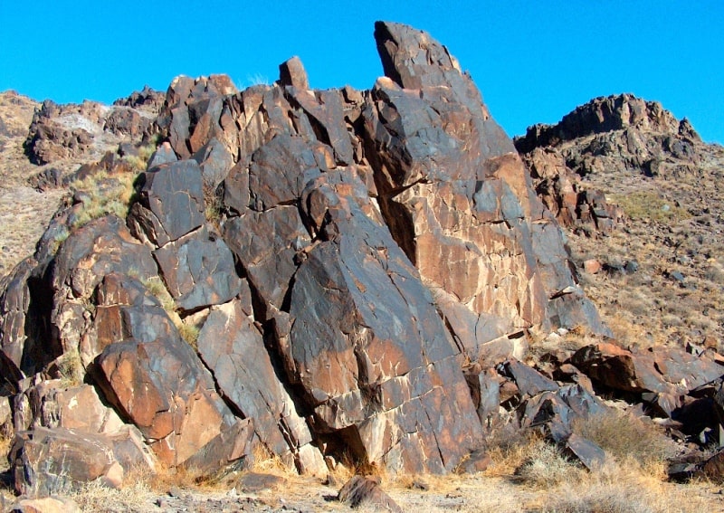
Geology of Matai Mountains
The Matai Mountains are composed of 300-million-year-old Carboniferous effusive and granitoid deposits. These deposits are primarily volcanic, Permian, and Carboniferous, with the oldest deposits being Silurian. Most of the rocks are Paleozoic, 200 to 400 million years old.
Geographical coordinates of Matai Mountains are: N44°09'44 E78°26'33


Authority and photos:
Alexander Petrov.