You are here
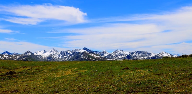
Pass Radostnyi near Lake Rakhmany.
Nature and geography of Katon-Karagai park.
“At all the tourist centers the same picture was observed:“ We didn’t wait! ”
A. Abramov.
Landscape natural monuments of Kazakhstan Altai.
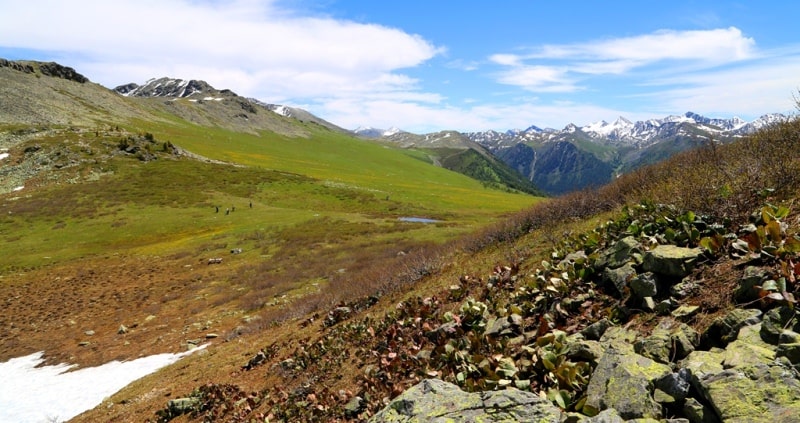
The Radostny pass is located at an altitude of 2260 meters above sea level in the eastern part, on the southern slope of the Listvyaga ridge in the Katon-Karagai region of the East Kazakhstan region on the territory of the Katon-Karagai national natural park.
The pass is located in a small ridge and is the watershed of the Black Berel and Arasan rivers. The pass is a favorite place for walking from the Rakhmanovskiye Klyuchi sanatorium. The length of the route from the sanatorium to the pass is 5 kilometers.
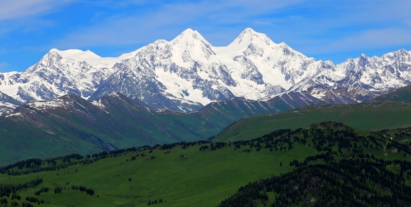
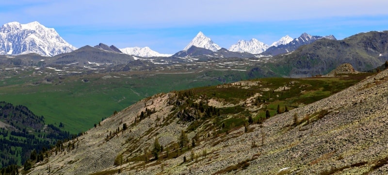
From the pass to the north-east, in good weather at a distance of 29 kilometers, a magnificent view of the Belukha peak massif 4,506 meters above sea level opens. Well from here, in the northern part of the pass, you can see the channel of the Black Berel River.
Lake Arasan, located 2 kilometers to the southwest, is also at a glance. The road leading to the sanatorium Rakhmanovskie Klyuchi is also visible. Throughout the ascent to the pass, you can see Lake Rakhmanovskoye - the pearl of the Kazakh Altai - in the southeast.
Geographic coordinates of the Pass Radostny: N49 ° 33'21.18 "E86 ° 29'30.04"


Authority and photos:
Alexander Petrov.


