You are here
Photo tour to petroglyphs Dardamty.


Cognitive travel on Petroglyphs Kazakhstan.
«Always choose the most difficult way - on it you will not meet competitors»
Brief description of route of excursion to Saka burial mounds and northern slope of Ketmen ridge:
Almaty - settlement Chilik - settlement Baiseit - settlement Nura - settlement Kokpek - settlement Chundzha - settlement Dardamty - Almaty.
Distance of route: 612 km.
Season: from April 15th till September, 15th.
Best time for excursion: April - May.
Duration of excursion: 2 days, 1 night.
Detailed program of an excursion trip to petroglyphs of Dardamty:
Participation in photo tour of petroglyphs in Kazakhstan.
Day 1. Almaty - Dardamty rock paintings (303 km).
Transfer: Almaty - Panfilovo village - Bayterek village - Bakovskaya road (technological road laid along the Big Almaty Canal during its construction from 1979 to the end of 1985) - Ashybulak village - Saka burial mounds (76 km). In the Baiterek village we turn left and gradually drive onto the road that runs along the Big Almaty Canal. There are several Saka burial mounds in the vicinity of Ashybulak village. Visit to a group of burial mounds, there are about 6 burial mounds in total.
Further transfer: Ashybulak - Kairat village (48 km). The next stop is at the burial mounds of the Saka period in the northern part of Kyzylsharyk village (the burial mounds are located below the Big Almaty Canal) and slightly north of Kairat village (clearly visible just behind the canal).
Some of the burial mounds are located immediately behind the Big Almaty Canal. The largest burial mound, Bekbau Tobe, is approximately 20 meters high and is located in close proximity to the canal. The other four burial mounds are located to the south of the main mound, approximately 800 meters away. Visiting the burial mounds and their surroundings.
Further transfer: Kairat village - Malybai village - Bayseit village (25 km). Lunch at the Dilmurat cafe, Uyghur cuisine.
Transfer: Bayseit - Nura village - Kokpek village - Chundzha village (105 km).
Transfer: Chundzha - Dardamty village - Kyzyl Tash cave (68 km). The village of Dardamty is located under the Ketmen mountain range on the northern side, our way to the south lies along the right bank of the Dardamty River, then the steppe, dirt road descends into the dried-up bed of the right tributary of the Dardamty River along which we move, crossing the Dardamty River, the first stop is at the cave (ancient man's site). Walk to the cave along a mountain path along a scree slope (200 meters). Visit to the cave.
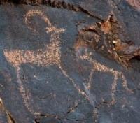
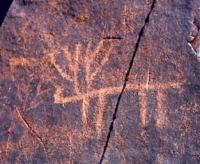
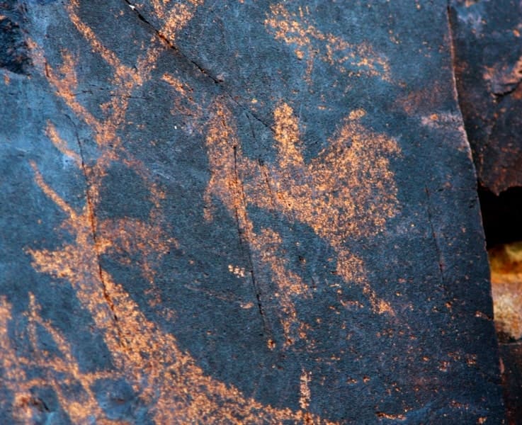
Transfer: Kyzyl Tash cave - Dardamty rock paintings (6 km). Transfer to the rocks on which the rock paintings of the Saka period of Dardamty are carved. Arrival at the Dardamty rock paintings, accommodation in tents. Visit to the rock paintings, the paintings are at an altitude of 1355 meters above sea level. Dinner, overnight in tents.
Day 2. Dardamty rock paintings - Almaty (309 km).
Breakfast. After breakfast, visit the petroglyphs. The drawings are on the rocks, when climbing the rocks, you must be careful. Lunch. In the afternoon, transfer to Almaty.


Note:
Author program is Alexander Petrov. Copying and introduction - from the sanction of the author.
Alexander Petrov
photos by:


