


![]()
You are here
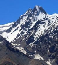
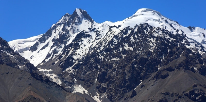
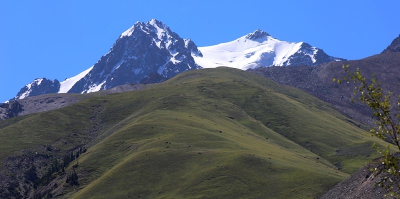
Ridge of Kaindy-Katta.
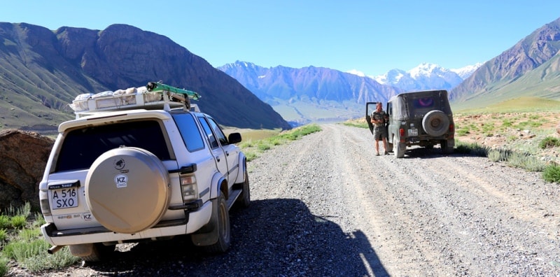
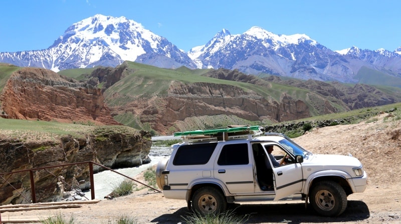
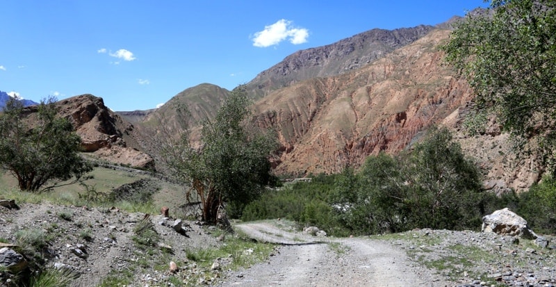
Trip to mountains Kaindy in Kyrgyzstan.
“Beauty is a manifestation of secret natural laws, which otherwise would have been hidden from us forever”
Johann Wolfgang von Goethe.
Mountain routes of Kyrgyzstan.
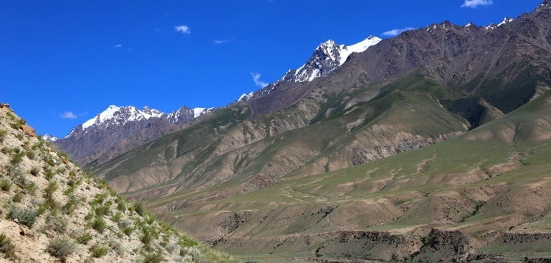
Kaindy-Katta ridge, (Kaindy, Kaindy), located in the Central Tien-Shan, the territory of the Aksuu district of the Issyk-Kul region. The rivers and glaciers of the ridge belong to the basin of the Sary-Jazz River. The ridge is located between the northern slopes of the Kokshaal-Too ridge and the southern slopes of the Inylchek-Tau ridge.
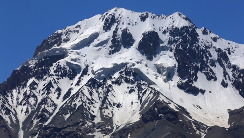
The average height of the ridge is located at an altitude of 4500 - 5000 meters above sea level. The dominant, nameless height of the ridge is in the eastern part of the ridge - 5784 meters above sea level. The ridge starts from the center of glaciation between the Kuyukap and Komsomolets glaciers and stretches southwest to the environs of the eastern slopes of Mount Karaulchon, 3992 meters high at 35 kilometers and up to 9 kilometers wide.
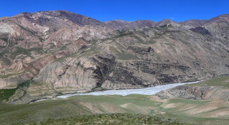
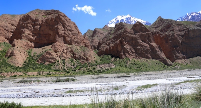
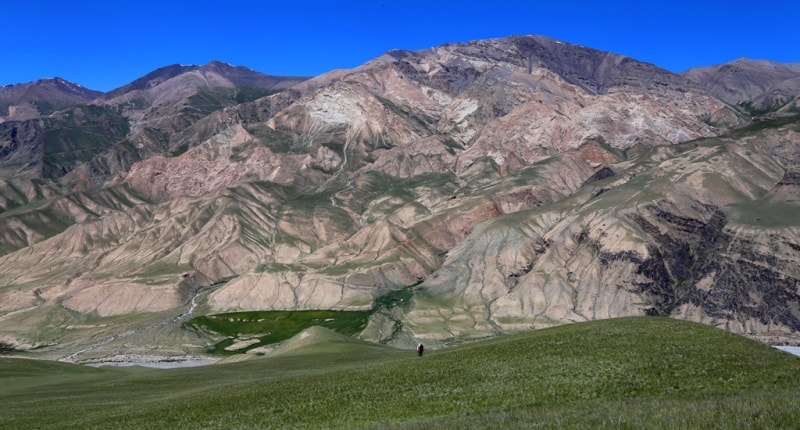
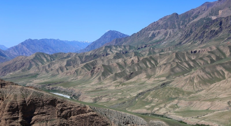
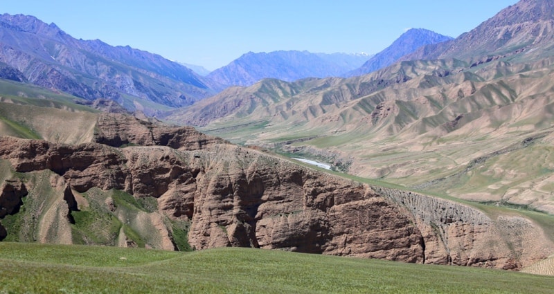
From the south, the ridge is bounded by a deep gorge and the valley of the Terekty River, originating from the Kuyukap Glacier, from the north the Kaindy valley glacier is the border of the ridge. The ridge is composed of metamorphic schists, limestones. It is composed mainly of Paleozoic igneous rocks. Intrusive rocks are found.
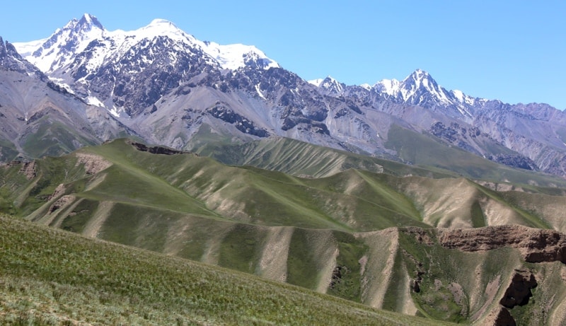
The relief is deeply dissected with an extremely complex network of ridges and minor river valleys. The slopes of the ranges are particularly deeply divided in the upper and middle reaches of the Kayynda River, where individual peaks and ridges abruptly (1,500 to 2,000 meters) rise above the bottoms of the valleys.
The ridge is covered with eternal snows and glaciers, especially in the eastern part. Rocks and talus prevail on the slopes, at the foot in the west - high mountain semi-desert. There are more than 73 glaciers in the ridge, the largest Kaiynda glacier.
At the head of the Kaindy River is the Kaindy Glacier, with a length of 29.0 kilometers and an area of 84.1 square kilometers. Its feeding area occupies two huge circuses at an altitude of more than 5500 meters above sea level and, through a low ice section, connects to the feeding area of the Komsomoles glacier, a tributary of the South Inylchek glacier.
The end of the glacier with a thickness of about 170 meters with a wide blade descends to an altitude of 3400 meters above sea level. Between 1943 and 1960, the end of the glacier advanced 1.3 kilometers, and in 1960 its surface was a chaotic pile of acute-angled ice blocks.
The upper part of the ridge is a valley, the middle is wide, and the lower is a “V” -shaped gorge.
The climate of the Kaindy-Katta ridge is sharply continental, the average temperature in January is 16, - 17 ° C, July - up to 10, 11 C. Osadkov 250 - 300 mm per year. The main waterway is the Kayynda River with tributaries of At-Dzhayloo, Karagatta.
The landscape consists of subalpine meadow steppes (up to 2700 meters above sea level), spruce forests interspersed with mountain steppes and sections of subalpine meadows along the slopes of northern expositions (2700 - 3200 meters above sea level), a high mountain belt with subalpine and alpine vegetation (3200 - 3600 meters above sea level), above 3600 meters above sea level - a belt of stone placers, rocks, snow and ice.
Kayandy the ridge is in the Central Tien-Shan in the territory of Aksuusky district. Stretches to the West between Enilchek and Kayndy ridges. Length of the 75th kilometer, width is 3 - 5 km. Height above sea level 2100 - 5420 m.
The top part - the trough valley, average - wide, lower - the "V"-shaped gorge. The climate is sharply continental; average temperature of January - 16, - 17' With, July - to 10, 11 S. Rainfall of 250 - 300 mm a year.
The main waterway - the river Kayndy with At-Dzhayloo, Karagatta inflows. In a river basin glaciers (only 73), the largest - Kayndy. Subalpine, Alpine and landscapes. It is used as a pasture, the average height of 4500 - 5000 m, the maximum height of 5721 meters.
It is put by generally Paleozoic magmatic breeds. Intrusive breeds meet. The relief dismembered with extremely complex network of crests and minor river valleys. Slopes of ridges in the top and average current of river of Kayndy where separate tops and crests abruptly (on 1500 - 2000 m) rise over the bottoms of valleys are especially deeply dismembered. 73 glaciers, the largest - Kayndy.
Landscape the ridge of Kaindy-Katta, subalpine meadow steppes (to 2700 m); the fir groves alternating with mountain steppes and sites of subalpine meadows on slopes of northern expositions (2700 - 3200 m), a mountain belt with subalpine and Alpine vegetation (3200 - 3600 m) with participation of a kobreziya, sedge, the mountaineer it is higher than 3600 m - a belt of stone scatterings, rocks, snow and ices.

Authority:
"The big Soviet encyclopedia".
Photos by
Alexander Petrov.