


![]()
You are here
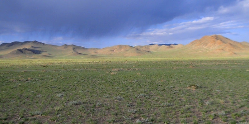
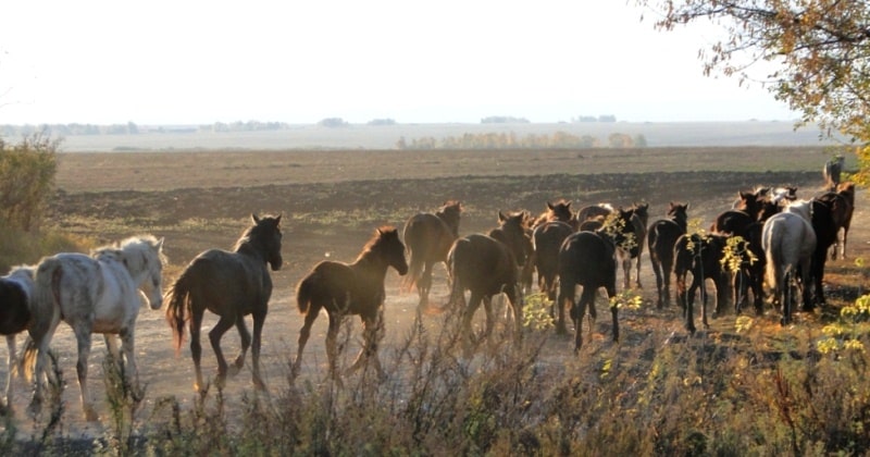
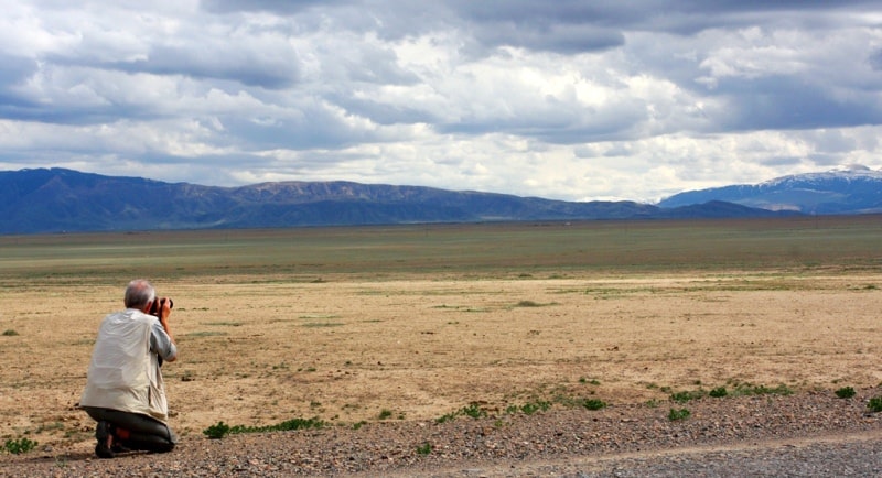
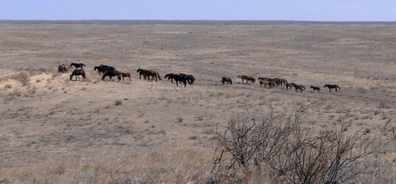
Steppes of Central Kazakhstan.


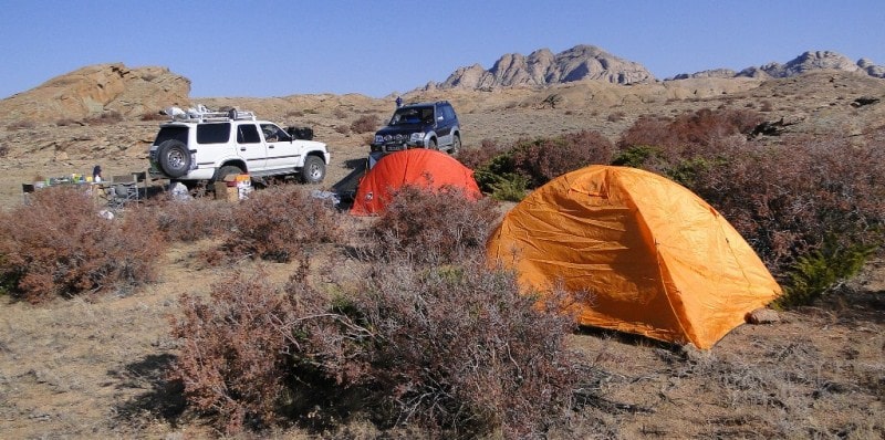
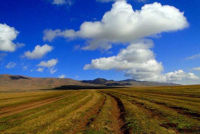
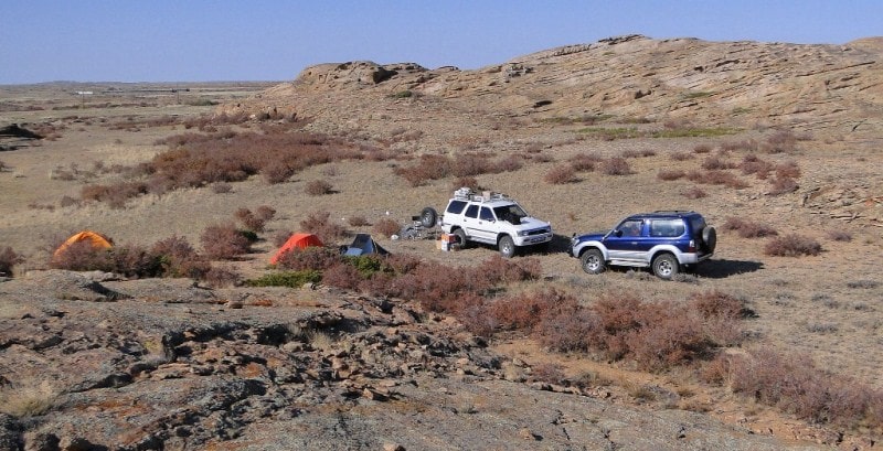
Park tour Kazakhstan.
“It is not the strongest of the species that survive, nor the most intelligent, but the one most responsive to change”
Charles Darwin.
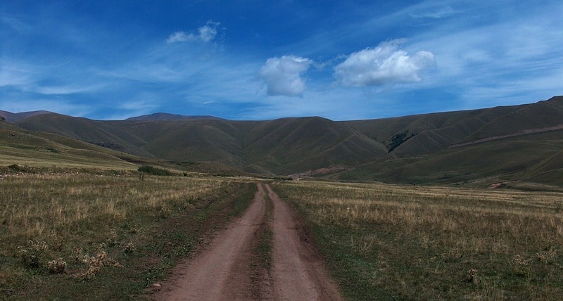
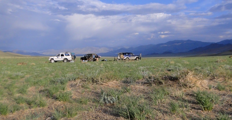
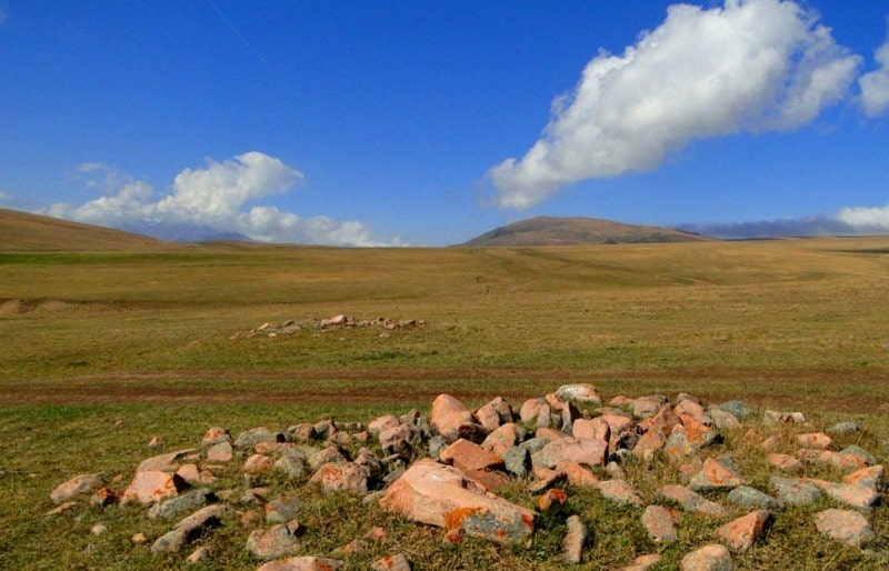
Gorge tour Kazakhstan.
The northern, weakly dismembered part of the Turgai Plateau, as well as the northern and middle parts of the Kazakh Upland belong to the steppe zone. The remoteness of the steppes of Central Kazakhstan from the oceans, especially from the Atlantic - the main supplier of moisture in these latitudes, causes a sharp continental climate, which is expressed in the severity of winter, high summer temperatures, short duration of spring and autumn, large annual and daily amplitudes of air temperature, dry air, low rainfall.
Rainfall varies greatly from year to year, averaging around 300 mm per year. In the north, it is somewhat larger (up to 350 mm), towards the south it gradually decreases (up to 200 mm). Mountain ridges stand out with the best humidification, with about 400 mm of precipitation a year.
Along with a decrease in precipitation in a southerly direction, air temperature increases, evaporation increases, and summer moisture deficit increases. The features of the cold period of the year are due to the existence of a high-pressure spur (departing from the Asian anticyclone), whose axis extends approximately 50 ° C each. sh., i.e., it divides almost in half the territory of the Turgai Plateau and the Kazakh Upland.
The average January temperature is rather low (- 17 - 18 °). Temperatures fall toward the center of the anticyclone; therefore, the eastern regions are the coldest in winter. In winter, cold masses of arctic air and air of temperate latitudes with a small amount of moisture predominate.
Frontal activity is weak. There is little precipitation (from November to March only 50 - 75 mm). Snow cover has a small thickness (medium - up to 40 cm), which leads to soil freezing; and yet snow is the main source of moisture in the soil, as well as the supply of rivers, lakes and groundwater, since summer precipitation is almost entirely spent on evaporation.
In winter, in the steppe zone, southwesterly winds dominate, reaching great strength, which is facilitated by the vastness of the lowland spaces. Characterized by winter storms and snow drifts. The transition from winter to summer is sharp.
The air temperature is rapidly increasing due to the warming of the earth's surface and the penetration of warm Turanian air from the south.
The winter anticyclone is destroyed, and high summer temperatures are established (the average temperature in July is 20 - 24 °). Daytime temperatures in summer sometimes rise to 35 °. In the warm season, from April to October, up to 250 mm of precipitation falls, with a maximum in June.
By the middle of summer, the air masses become very hot and the temperature differences between them smooth out, the frontal activity weakens, there is little precipitation; during almost the entire second half of the summer, the clear, sunny anticyclonic weather is preserved.
Strong winds of the warm half of the year cause ground wave, dust storms and contribute to the overall desiccation of the territory. Often there are droughts. The invasions of cold air masses from the West Siberian Plain cause spring and autumn frosts.
The frost-free period is about 110 days. Compared with the surrounding plains, the arrays of the lowlands have a more temperate and humid climate, which, with a small range of heights, determines the high-altitude zoning of landscapes, the formation of the forest-steppe high-altitude zone.
Microclimatic differences are characteristic of both low mountains and low-slope plains due to the dismemberment of the relief. On summer days, the lowest temperature is usually observed on the tops of the hills, while in the lowlands it is the warmest.
True, the difference in temperatures at this time is small. In the periods of spring and autumn frosts in the skull depressions, due to radiation cooling, runoff and stagnation of cold air, it is 8 – 9 ° colder than on the tops of the hills with altitudes up to 80 – 100 m.
In the steppe zone of Central Kazakhstan, non-irrigated farming is possible. The temperature conditions here are mostly favorable for the development of agricultural plants. Moisture conditions are much less favorable, both in terms of precipitation and their distribution by seasons.
Therefore, the main crop here is wheat, which is quite resistant to drought (due to winter freezing of the soil spring wheat is cultivated). Millet, corn, barley, oil flax, and sunflower also grow well. The steppe zone of Central Kazakhstan mainly belongs to the Irtysh basin, and only the Nura River in the very south of the zone, carrying its waters into the Tengiz Kurgaldzhinskaya depression, belongs to the Central Asian region of internal flow.
True, many rivers rushing to the Irtysh do not convey their waters to it and end in small closed lakes in the south of the West Siberian Plain. Due to the continentality and dryness of the climate of the river is shallow. Most of them dry up in summer or break up into ridges connected by an underground stream in river alluvium, and only the largest ones (Tobol in the far northwest, Ishim, Nura, Shiderty, Selty) retain water throughout the year. Drain mode lawsuit the rivers of Central Kazakhstan are not navigable, but are of great importance as a source of water supply.
There are many lakes on the territory of the Kazakh High Mountain Range and the Turgai Plateau within the steppe zone (Kushmurun, Koibagar, Karasor, a group of Kokchetav and Borovskiye lakes). The origin of lake basins varied. There are basins of tectonic origin.
There are small sedimentary basins. Small lakes are widespread, formed by streams of water flowing from the slopes of the hills. Many lakes in the river valleys. According to A. E. Mikhailov, part of them originated in river valleys crossed across by tectonic uplifts with anticline folds.
The river erosion weakened in the conditions of arid climate could not saw through the obstacles that had arisen. Lakes, as well as rivers, receive the main power in the spring due to the melting of snow. In the summer they become shallow. Fluctuations in the level of lakes are associated with fluctuations in precipitation.
The degree of mineralization of lake waters varies with seasons, reaching a maximum in summer. Many lakes gradually become shallow and overgrown. There are so-called grass lakes, only in spring they fill with water, and in summer they are used as hayfields.
Various salts are mined in lakes, in some places - curative mud. Rivers and lakes due to the extreme unevenness of the regime cannot serve as a reliable source of water supply. However, on the rivers it is possible to build artificial reservoirs fed by the discharge of melted snow water.
There are two types of groundwater in the Kazakh Hills: fracture and reservoir, and at the Turgai Plateau - reservoir. Fissure waters are confined to Paleozoic rocks. Their abundance is due to the presence of tectonic faults. The most abundant granitoids and limestones.
Limestone strata contain cracks karst and karst waters, especially characteristic of limestone of Upper Devonian and Lower Carboniferous. Nutrition of fissure waters is carried out mainly due to infiltration of thawed snow waters, therefore the maximum costs are observed in spring, and in the rest of the year the expenses of sources fall.
Freshwater is quite suitable for use. Filtered through gravelly sediment, water can salty. The steppe zone is divided into two zones: forb grass cereal serozem-like soil steppes and grass steppes on dark chestnut soils. Under the zone, the forb grasses of serozem-like soil steppes occupy the northernmost part of the Kazakh Hills and Turgai Plateau.
High summer temperatures cause a large loss of moisture to evaporation, which causes a significant dryness of the soil. In the Kazakh Upland, the dryness of the soil is aggravated by the rubble of soils that easily filter moisture. Only in the north, in the Kokshetau province of Central Kazakhstan, ordinary serozem-like soil are common, while the main background of the soil cover of the zone is formed mainly by carbonate southern serozem-like soil, which are formed under forb grass fescue communities.
Within the zone of dry steppes in the Kazakh small mountain area, the phenomenon of altitudinal zonality is also observed. On the rocky tops of lowlands, pines grow with grass from steppe species. Near groundwater outcrops there are aspen birch groves.
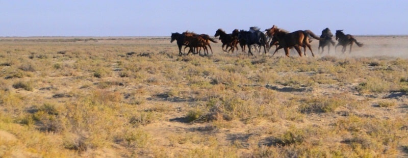
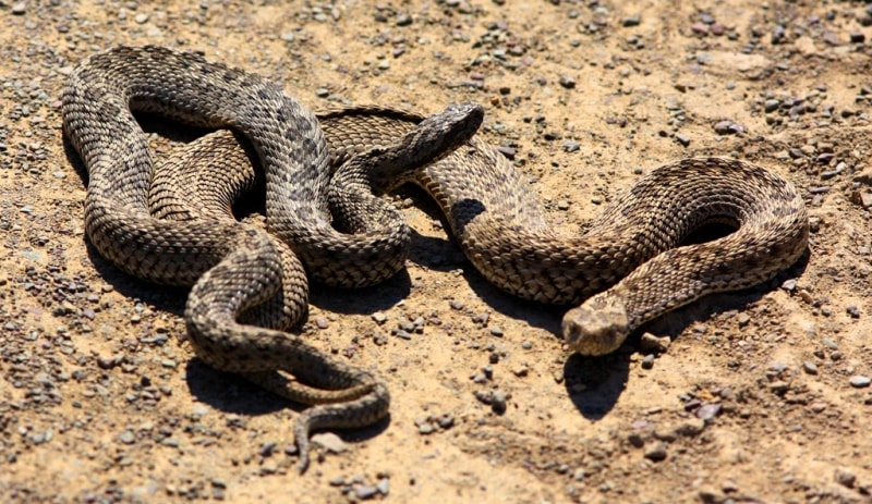
Gentle slopes are occupied by mixed grassy steppes on mountain black soil, with a predominance of red grass. The fauna of the steppe zone contains many rodents: a large ground squirrel (Citellus major), a large jerboa (Allactaga jaculus), a hare (Alactagulus acontion), (Scirtopoda telum), a little hare (Ellobius talpinus), various voles (Microtus gregalis) and others. there are wolf, fox, badger, weasel, ermine and such typical steppe species as the step ferret (Putorius eversmanni) and Vulpes corsac).
Of the birds, the bust (Otis tarda) is particularly characteristic. The semi-desert zone occupies the southern, more dismembered part of the Turgai Plateau and a wide strip of the Kazakh lowlands in its southern part, with the exception of the southernmost margins.
In the north, along the Turgai hollow, the semi-desert zone is wedged into the steppe zone due to the spread of saline Paleogene deposits here. The exceptional wealth and diversity of mineral resources of Central Kazakhstan contribute to the rapid growth of industry, which, however, was hampered by the lack of drinking and industrial water.
The problem of water supply is resolved by the creation of the Irtysh-Karaganda canal with a total length of 458 km. Starting 30 km south of Pavlodar, it goes west through Ekibastuz to the river Shiderty, from where pumping stations supply water up the river Shiderty, through its watershed with Nura, into the valley of the Tuzda river, to Temirtau and Karaganda.
The canal provides guaranteed water supply to large industrial areas of Central Kazakhstan - Ekibastuz, Karaganda-Temirtau, provides water for regular and estuary irrigation of land, which allows increasing the production of vegetables, potatoes and animal feed.
The Nura-Ishim Canal is filled with Irtysh water. Groundwater will continue to play a major role in water supply in Central Kazakhstan. There are large masses in the steppe zone of Central Kazakhstan.


Authority:
N. A. Gvozdetsky, N. I. Mikhaylov. "Physical geography of the USSR. Asian part. The edition third corrected and added. Moscow "Thought" of 1978.
http://tapemark.narod.ru/geograf/1_5_5.html
Photos by:
Alexander Petrov.